French Quarter (Vieux Carré)
Best for
Historic sights, courtyard dining, architecture, and late-night nightlife.
 AdventriaLocalOpen App
Adventria Local Decision Guide
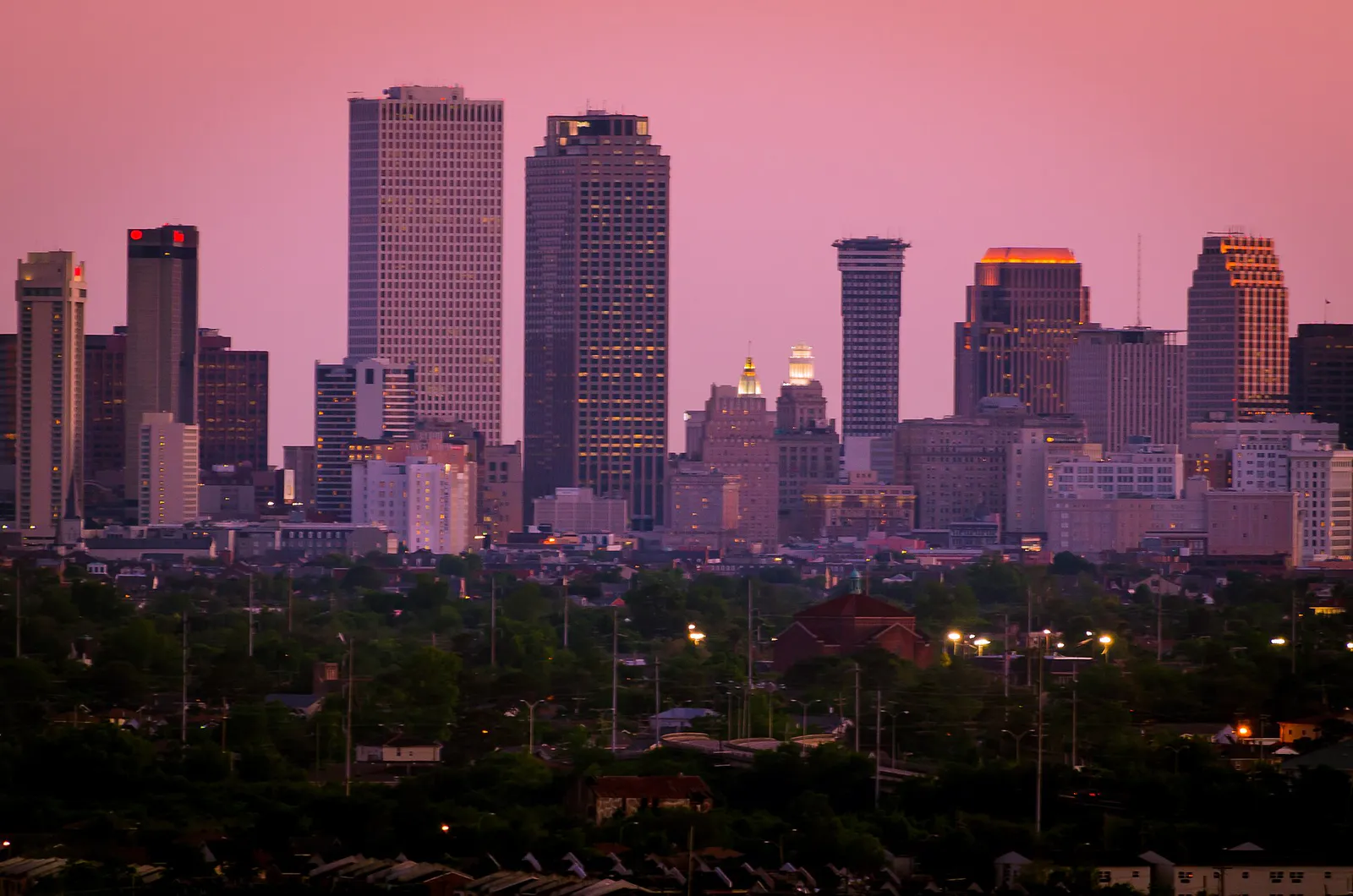
Trying to decide what to do in New Orleans? Adventria helps you cut through the options and choose a good-enough plan without endless scrolling. New Orleans does not operate on cardinal directions or typical grid logistics. Between river bends, rapid street flooding, parade route closures, and boil water advisories, navigating the city requires a solid understanding of local friction. This guide helps residents and visitors decide where to eat, hear live music, explore neighborhoods, and pivot smoothly when weather or Carnival events disrupt the schedule.
The local decision problem
How to navigate New Orleans' unique crescent geography, street flooding risks, parade route closures, and distinct neighborhood footprints to make seamless daily choices.
That is where Adventria comes in. Adventria helps narrow the options in New Orleans around practical factors like location, distance, budget, vibe, who you are with, and the kind of experience you actually want, so research can turn into a decision.
Let Adventria narrow the optionsPick the right part of town
Different parts of New Orleans work for different kinds of plans. Start with the experience you want, then narrow the map.
Best for
Historic sights, courtyard dining, architecture, and late-night nightlife.
Best for
World-class museums, high-rise luxury hotels, and modern culinary spots.
Best for
Live music venues, bohemian cafes, colorful shotgun houses, and riverfront greenspaces.
Best for
Shaded mansion walks, boutique shopping on Magazine Street, and historic cemeteries.
Best for
Sprawling parks, neighborhood poboy spots, kayaking, and outdoor leisure.
Best for
Collegiate atmospheres, oak-lined residential strolls, and historic neighborhood bars.
This is a quick starting point. The full guide covers 8 local neighborhoods and districts in New Orleans.
Eat & drink
When the decision is less about what to do and more about where to eat or grab a drink, start here. These local cues narrow the food and drink decision without turning dinner or a night out into another hour of comparison.
Head to classic counter-service poboy institutions like Parkway Bakery & Tavern in Mid-City or Domilise's in Uptown for dressed sandwiches. If you are near the French Quarter or CBD, central sandwich shops, counter-service oyster bars, or bar-seating dining at established spots like Pêche or Cochon offer exceptional meals without weeks of advance planning.
Take an early morning walk along the Magazine Street boutique corridor or Audubon Park under the live oaks. For lunch, take advantage of walk-in bar seating at top modern Creole or seafood restaurants where solo diners are warmly welcomed. Spend the afternoon browsing art along Julia Street or taking the historic St. Charles streetcar end-to-end.
Still comparing options? Adventria can narrow the choice around budget, distance, vibe, and who you are with.
Decide with AdventriaPlan by situation
Start with the kind of plan you are actually trying to make. These city-specific ideas narrow the choice around who you are with, what you want to spend, the weather, and the kind of outing you want.
Base your day in New Orleans City Park. Kids can ride the historic wooden carousel at Carousel Gardens Amusement Park, play among Storyland fairytale sculptures, explore interactive exhibits at the Louisiana Children's Museum, or pedal round Big Lake. Cap off the outing with fresh beignets at the park's open-air café.
Spend four to six hours exploring the multi-building campus of The National WWII Museum in the Warehouse District. Alternatively, link an indoor culture tour between the Ogden Museum of Southern Art and the Contemporary Arts Center across the street, or visit the historic indoor Louisiana State Museum buildings (Cabildo and Presbytère) around Jackson Square.
Stroll through the 11-acre Sydney and Walda Besthoff Sculpture Garden in City Park, which is completely free daily. You can also ride the Canal Street Ferry to Algiers Point for expansive skyline views, bike the Lafitte Greenway, or stroll Royal Street in the French Quarter to watch world-class street musicians performing against historic backdrop architecture.
For an outdoor plan from New Orleans, compare trails, state parks, national parks within trip range, and scenic drives. Options in the current city guide include Saint Bernrd State Park District 1 and Bayou Segnette State Park.
For a short escape from New Orleans, compare Bay St. Louis and Ocean Springs. More options are listed in the trip section below.
Start with a late afternoon trip to Bacchanal Fine Wine & Spirits in the Bywater, where you select a bottle of wine and cheese board in the shop before settling into the leafy backyard for live courtyard jazz. Follow up with a moonlit ferry crossing to Algiers Point or an acoustic performance inside historic Preservation Hall.
Because many historic French Quarter and Garden District restaurants occupy narrow 19th-century buildings with small dining rooms, large party tables require booking weeks to months ahead. For last-minute group outings, look toward larger spatial footprints in the Warehouse District or casual courtyard setups where groups can spread out naturally.
Outdoors nearby
Use these nearby outdoor options when the plan calls for a trail, protected landscape, park, or drive instead of another indoor stop. Proximity here is geographic, not a promise about driving time.
Get out of town
When staying in town is not the answer, these nearby destinations give you a smaller starting set for a day trip, overnight escape, or weekend away.
Destination relationships are screened geographically. Straight-line proximity is not presented as road mileage or estimated travel time.
Local landmarks & attractions
These notable destinations offer a starting point when you want something specific to see, visit, or build into a day around New Orleans. Distances are approximate from the city area.
art museum in New Orleans, Louisiana
insectarium in Louisiana, United States
domed stadium in New Orleans, Louisiana, USA
neighborhood of and historic district in New Orleans, Louisiana, United States
historic street in the French Quarter of New Orleans
theater, music venue and former movie theater in New Orleans, Louisiana, United States
zoo in Uptown New Orleans, Louisiana, United States
historic building in New Orleans, Louisiana
Notable places are selected from structured public destination data and ranked for relevance, prominence, proximity, and variety.
Local decision signals
A useful local recommendation depends on how the city actually works. These conditions affect where to go, what to do, and whether a plan makes sense right now.
Cardinal directions are rarely used. Locals navigate using Uptown (upriver), Downtown (downriver), Riverside (toward the Mississippi), and Lakeside (toward Lake Pontchartrain).
During official flood emergencies, the city permits residents to park personal vehicles on grass medians (neutral grounds) to raise cars above rapid street water buildup.
Regional Transit Authority (NORTA) uses the Le Pass app for mobile ticketing. Drivers do not make change, so board with exact cash or a digital Jazzy Pass.
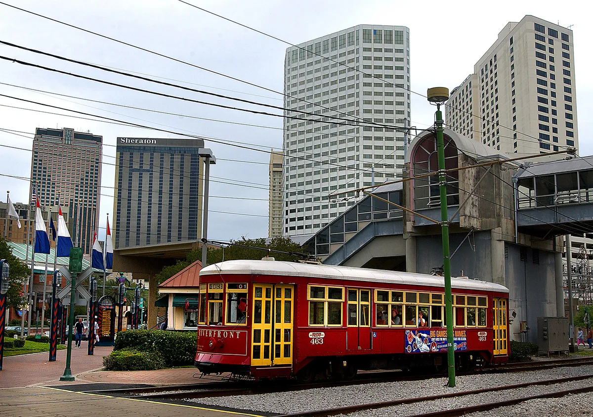
Historic green cars on the St. Charles line use open wooden sash windows and lack air conditioning. Red line cars on Canal Street offer full climate control.
Infrastructure power drops periodically prompt precautionary boil water warnings. Restaurants cease serving tap water, ice, and fountain drinks during advisories.
Major Carnival parades on St. Charles Avenue and Canal Street slice vehicular traffic across town for hours. Plan activities on the side of the route where you are located.
A cherished tradition where multi-course Friday midday meals at grand dame restaurants stretch across hours. Dress codes like jackets for men are strictly maintained.
Neighborhood context
Neighborhoods are not interchangeable. Each area offers a different balance of atmosphere, transportation, food, nightlife, activities, and planning friction.
Best for: Historic sights, courtyard dining, architecture, and late-night nightlife.
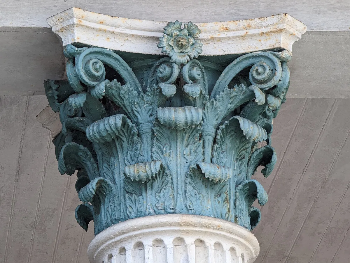
The city's historic 18th-century grid bounded by Canal Street and Esplanade Avenue. Features Spanish and French colonial architecture, slate courtyards, cast-iron balconies, Jackson Square, and pedestrian-heavy commercial corridors.
Best for: World-class museums, high-rise luxury hotels, and modern culinary spots.
Located directly downriver/south of Canal Street. Transformed industrial warehouses along Julia Street sit alongside landmark cultural institutions like the National WWII Museum and high-end modern dining.
Best for: Live music venues, bohemian cafes, colorful shotgun houses, and riverfront greenspaces.
Situated downriver from Esplanade Avenue. Home to the legendary Frenchmen Street music corridor, Crescent Park's skyline views, and casual outdoor wine hubs like Bacchanal.
Best for: Shaded mansion walks, boutique shopping on Magazine Street, and historic cemeteries.
Tree-canopied residential avenues featuring antebellum architecture, oak-lined streets, craft breweries, and the long retail corridor along Magazine Street.
Best for: Sprawling parks, neighborhood poboy spots, kayaking, and outdoor leisure.
Inland district along Esplanade Ridge and Lafitte Greenway. Anchor points include the 1,300-acre City Park, historic cemeteries, and informal picnicking along Bayou St. John.
Best for: Collegiate atmospheres, oak-lined residential strolls, and historic neighborhood bars.
Extending upriver toward Tulane and Loyola Universities. Features Audubon Park, 'The Fly' riverfront parkway, and lively commercial strips like Oak Street and Maple Street.
Best for: Black Creole cultural history, brass band heritage, and historic monuments.
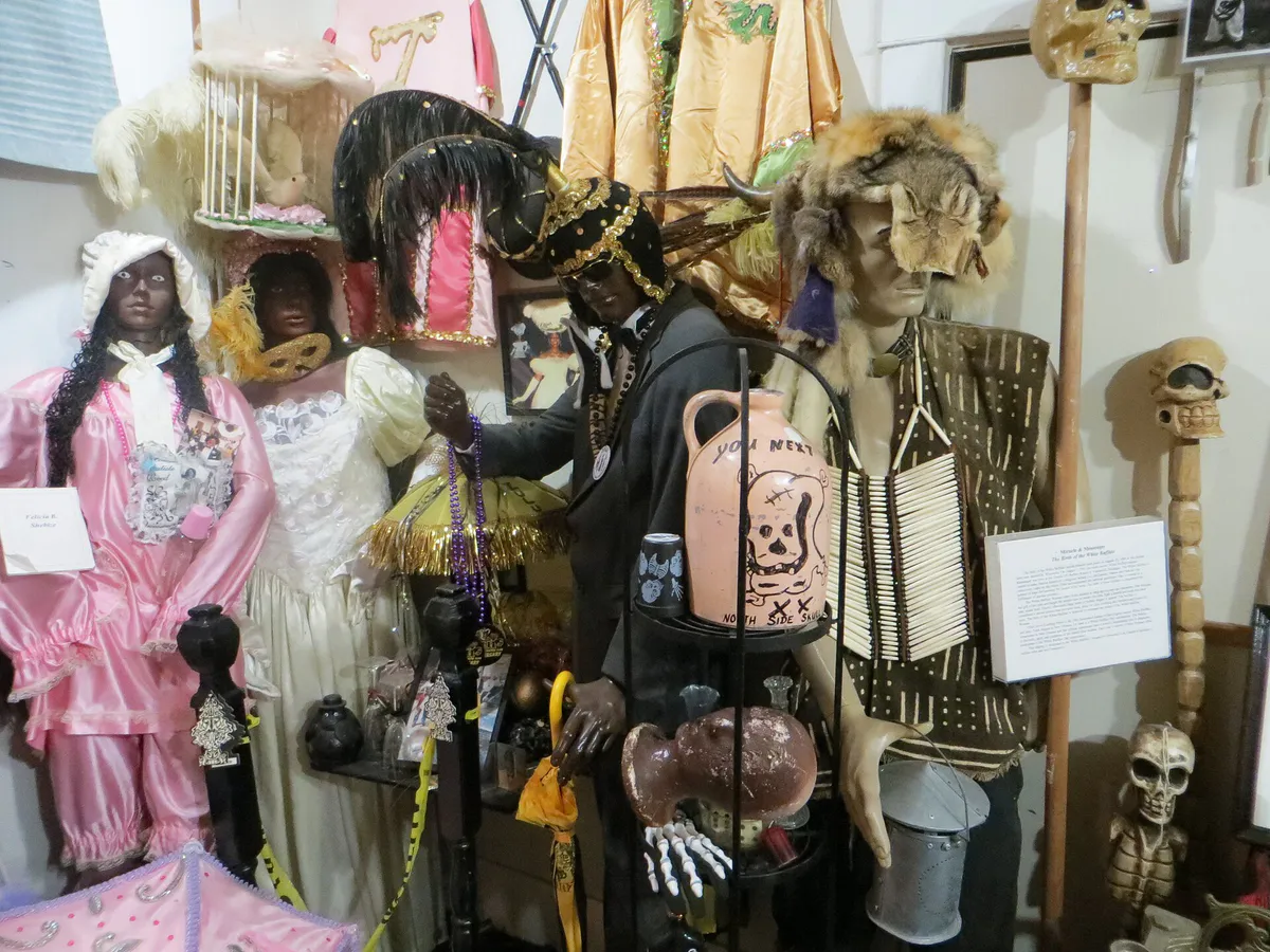
Located inland of North Rampart Street. Celebrated as one of the oldest African-American neighborhoods, home to Congo Square inside Louis Armstrong Park and deep Mardi Gras Indian traditions.
Best for: A quiet village atmosphere, historic architecture, skyline views, and neighborhood pubs.
Situated on the West Bank across the Mississippi River. Accessible via a quick ride on the Canal Street Ferry, offering peaceful streets lined with 19th-century Victorian cottages.
New Orleans local guide
Navigating New Orleans successfully requires unlearning standard cardinal directions. Because the Mississippi River curves in an S-shape through the metropolitan footprint, calling somewhere 'north' or 'west' confuses locals and leads to wrong turns. Instead, everyday directions rely entirely on landmark axes: 'Uptown' (upriver), 'Downtown' (downriver), 'Riverside' (toward the Mississippi), and 'Lakeside' (toward Lake Pontchartrain).
The city's physical geography also impacts local transit decisions. Sitting an average of six feet below sea level, New Orleans relies on a massive drainage pump network operated by the Sewerage and Water Board of New Orleans (SWBNO). Torrential summer downpours exceeding two inches per hour can temporarily overwhelm storm drains, causing rapid flash flooding along low-lying intersections and railroad underpasses. Knowing when to pause travel, park on elevated terrain, or pivot to indoor plans is a fundamental part of daily living in the Crescent City.
Explore your options
Match your transport choice to your route goals, accounting for travel speed, weather conditions, and seasonal street closures.
National Historic Landmark line running from the CBD down St. Charles Avenue to Carrollton. Uses historic green mahogany cars operating 24 hours.
Modern red streetcar fleet connecting Downtown with Mid-City cemeteries, City Park, and NOMA.
Pedestrian and cyclist river crossing connecting the foot of Canal Street directly with historic Algiers Point.
A 2.6-mile paved linear park connecting Tremé to Mid-City, supported by Bluebikes e-bikeshare stations.
Practical local guidance
Follow these tested local practices to get the most out of your dining, live music, and evening excursions.
A simpler way to decide
When heavy rain forecasts trigger official flood emergency declarations, execute these steps to protect your vehicle from water damage.
Confirm that the City of New Orleans has officially authorized neutral ground parking before moving your vehicle to grassy medians.
Identify a wide grassy median along major avenues like Carrollton, Louisiana, or Napoleon Avenues that sits higher than adjacent asphalt streets.
Drive carefully onto the grassy median. Ensure all tires are positioned completely clear of streetcar rails, crosswalks, and fire hydrants to prevent rail disruptions or towing.
Never drive into flooded intersections. Moving vehicles create wakes that push water into low-lying homes and risk destroying engine intake systems.
Once storm pumps clear street surfaces and the flood warning expires, immediately move your car back to legal curbside parking to avoid streetcar interference or municipal fines.
Common local questions
These are common situations people face when trying to decide where to eat, what to do, where to get drinks, or how to spend their time in New Orleans.
New Orleans planning questions
Practical answers for people deciding where to eat, what to do, where to go, or how to make plans in New Orleans.
If you have a strict reservation time, use rideshare, walking, or e-bikes. Historic streetcars travel slowly (around 8–10 mph) and stop frequently. Take the streetcar when the ride itself is part of your unhurried experience.
Ordering a po-boy 'dressed' means it comes topped with lettuce, sliced tomatoes, pickles, and mayonnaise served on traditional crispy French bread.
Because the Mississippi River bends sharply in a crescent through the city, north, south, east, and west do not map logically to street grids. Locals use landmark directions: Uptown, Downtown, Riverside, and Lakeside.
Parade routes along major thoroughfares like St. Charles Avenue and Canal Street slice the city in two for hours. Vehicles cannot cross parade lines while parades are rolling, so plan activities on the side of the route where you reside or travel on foot.
Creole cuisine originated in urban New Orleans and incorporates tomatoes ('red gumbo'), rich butter sauces, and European/African/Caribbean influences. Cajun cuisine is country cooking from Southwest Louisiana bayous, using dark flour/oil rouxs, pork seasonings, and no tomatoes.
Yes. Frenchmen Street in Faubourg Marigny offers an authentic concentration of open-door music clubs featuring traditional jazz, brass bands, funk, and blues, whereas Bourbon Street focuses heavily on neon bars, dance clubs, and slushy drink stands.
Do not attempt to drive through flooded streets or underpasses. Seek shelter in a multi-story building, museum, or nearby restaurant bar, and wait 1 to 3 hours for storm pumps to clear the pavement.
Yes, streetcar and bus drivers do not carry cash to make change. You must provide exact physical change or purchase digital passes on the Le Pass app prior to boarding.
The historic green streetcars on the St. Charles line do not have air conditioning; they rely on open sash windows year-round. The modern red streetcars running on Canal Street and Riverfront lines are fully air-conditioned.
Source transparency
Official and locally relevant sources used to verify the practical information presented in this New Orleans decision guide.
New Orleans decision engine
Tell Adventria what kind of experience you want, set your practical limits, and turn the options in New Orleans into one workable plan.
Choose a New Orleans Plan