Downtown / CityCenter
Best for
Walkable cultural outings, historic sites, and authentic Brazilian and Portuguese dining.
 AdventriaLocalOpen App
Factual Local Framework
Trying to decide what to do in Danbury? Adventria helps you cut through the options and choose a good-enough plan without endless scrolling. Make fast, informed decisions on where to eat, hike, shop, or catch a show across Danbury. Use local transit strategies, district boundaries, and seasonal planning factors to get the most out of northern Fairfield County.
The local decision problem
How to plan activities, transit, dining, and outings across Danbury's distinct commercial, lakefront, and suburban districts while navigating local bottlenecks.
That is where Adventria comes in. Adventria helps narrow the options in Danbury around practical factors like location, distance, budget, vibe, who you are with, and the kind of experience you actually want, so research can turn into a decision.
Let Adventria narrow the optionsPick the right part of town
Different parts of Danbury work for different kinds of plans. Start with the experience you want, then narrow the map.
Best for
Walkable cultural outings, historic sites, and authentic Brazilian and Portuguese dining.
Best for
Date nights, corporate dining, modern housing, and university arts performances.
Best for
Summer beach recreation, lakefront park walks, and seasonal waterfront activities.
Best for
Indoor entertainment, mall retail, arcade games, and aviation facilities.
Best for
Big-box retail shopping, craft brewery visits, and commercial services.
Best for
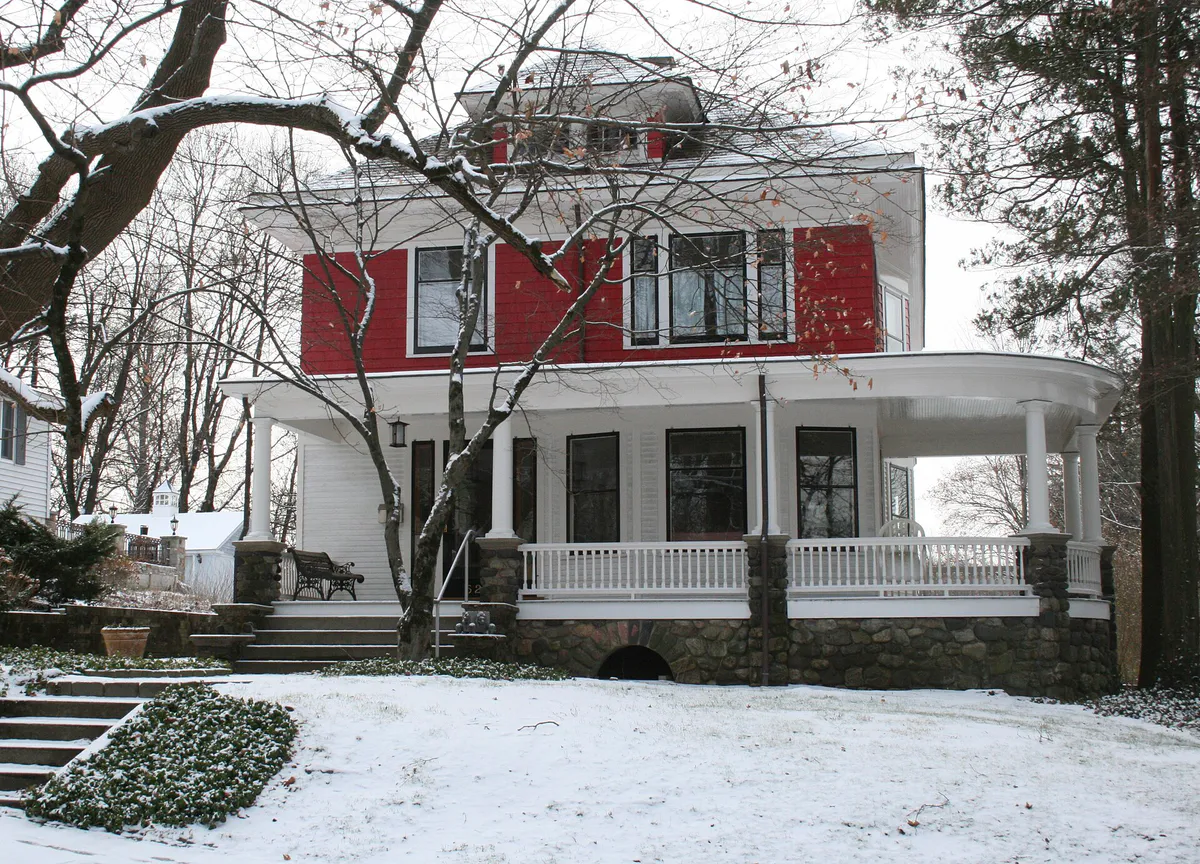
Healthcare access, historic architecture viewing, and quiet neighborhood streets.
This is a quick starting point. The full guide covers 7 local neighborhoods and districts in Danbury.
Eat & drink
When the decision is less about what to do and more about where to eat or grab a drink, start here. These local cues narrow the food and drink decision without turning dinner or a night out into another hour of comparison.
Start with upscale dining along the Mill Plain Road corridor or wood-fired craft pizza at Stanziato's. Afterward, head downtown for a live performance at The Palace Danbury, utilizing their dedicated patron parking on Keeler Street.
Visit Charter Oak Brewing Company on Shelter Rock Road. The 10,000-square-foot facility offers indoor taproom seating, rotating draft lines, food trucks, and an outdoor shaded Biergarten suitable for group gatherings.
Still comparing options? Adventria can narrow the choice around budget, distance, vibe, and who you are with.
Decide with AdventriaPlan by situation
Start with the kind of plan you are actually trying to make. These city-specific ideas narrow the choice around who you are with, what you want to spend, the weather, and the kind of outing you want.
For an overnight getaway from Danbury, compare Quincy and Rehoboth Beach. More options are listed in the trip section below.
Head to Danbury Ice Arena for public indoor ice skating sessions, visit the Danbury Railway Museum's restored station building to explore indoor model train exhibits, or spend the day at Danbury Fair Mall trying Round1 Bowling & Arcade.
For an outdoor plan from Danbury, compare trails, state parks, national parks within trip range, and scenic drives. Options in the current city guide include Wooster Mountain State Park Scenic Reserve and Seth Low Pierrepont State Park Scenic Reserve.
Outdoors nearby
Use these nearby outdoor options when the plan calls for a trail, protected landscape, park, or drive instead of another indoor stop. Proximity here is geographic, not a promise about driving time.
Get out of town
When staying in town is not the answer, these nearby destinations give you a smaller starting set for a day trip, overnight escape, or weekend away.
Destination relationships are screened geographically. Straight-line proximity is not presented as road mileage or estimated travel time.
Local landmarks & attractions
These notable destinations offer a starting point when you want something specific to see, visit, or build into a day around Danbury. Distances are approximate from the city area.
federal service academy in West Point, New York, United States
zoo in the United States
art museum in New Haven, Connecticut
amusement park
arena in New York, United States
cemetery on the grounds of the military academy in West Point, New York, United States
park in New Haven, Connecticut
Historic Chinese-style garden near Millbrook, New York, USA
Notable places are selected from structured public destination data and ranked for relevance, prominence, proximity, and variety.
Local decision signals
A useful local recommendation depends on how the city actually works. These conditions affect where to go, what to do, and whether a plan makes sense right now.
The I-84 and Route 7 interchange near Danbury Fair Mall, known locally as The Mix, creates peak commuter delays mornings and evenings.
Many residents bypass direct Danbury Branch train transfers by taking shuttles to electrified Metro-North Harlem Line stations in New York.
Downtown CityCenter holds a high density of authentic Brazilian rodizio buffets and Portuguese seafood spots along Osborne, Liberty, and Main Streets.
Candlewood Town Park offers public beach access, but boat launch ramp permits are strictly restricted to city residents.
Western Connecticut State University spans two distinct sites four miles apart: Midtown downtown and Westside off University Boulevard.
Tarrywile Park spans over seven hundred acres, making it the largest municipal park in Connecticut with over twenty miles of hiking paths.
Neighborhood context
Neighborhoods are not interchangeable. Each area offers a different balance of atmosphere, transportation, food, nightlife, activities, and planning friction.
Best for: Walkable cultural outings, historic sites, and authentic Brazilian and Portuguese dining.
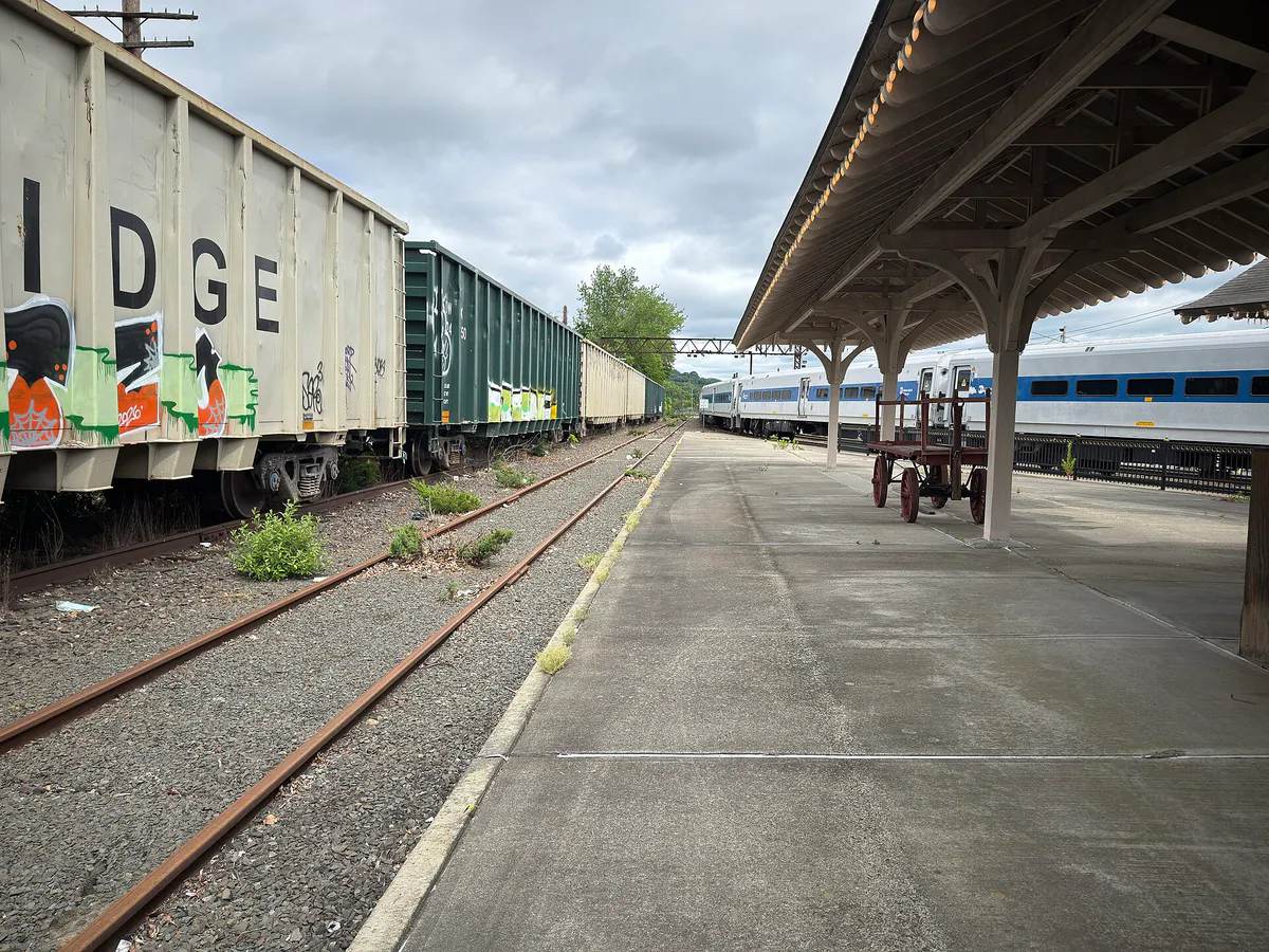
The historical civic core surrounding Main and White Streets. Home to municipal offices, the Danbury Railway Museum, The Palace Danbury, and rich ethnic enclaves.
Best for: Date nights, corporate dining, modern housing, and university arts performances.
Extending along U.S. Route 6 toward New York. Houses corporate parks, WCSU Westside Campus, and a major dining strip.
Best for: Summer beach recreation, lakefront park walks, and seasonal waterfront activities.
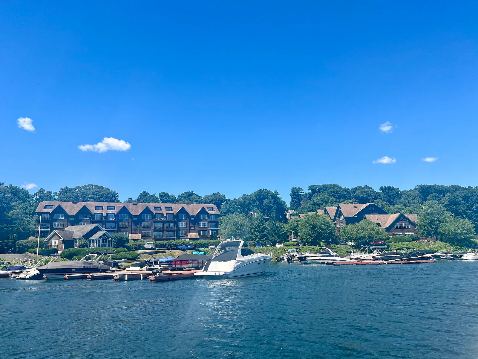
Northern waterfront zone anchored by Hayestown Road, featuring Candlewood Town Park, public beaches, and boat docks.
Best for: Indoor entertainment, mall retail, arcade games, and aviation facilities.
Southwestern district centered on Danbury Municipal Airport, Danbury Fair Mall, and surrounding commercial plazas.
Best for: Big-box retail shopping, craft brewery visits, and commercial services.
Eastern commercial corridor running along Route 7, lined with auto dealers, retail centers, and local breweries.
Best for: Healthcare access, historic architecture viewing, and quiet neighborhood streets.
Centrally located district encompassing Danbury Hospital and the historic residential overlay along Deer Hill Avenue.
Best for: Residential neighborhood living and quick suburban travel.
Established residential communities situated northeast of downtown, featuring single-family homes, local schools, and neighborhood commerce.
Explore your options
Match your group's goals with tailored plans built around local venues and logistics.
Explore downtown historic assets and authentic regional food hubs in a walkable trip.
Combine active indoor recreation with casual dining and entertainment.
Take advantage of extensive public park networks and mountain trails.
Practical local guidance
Quick choices across Danbury that require minimal pre-planning or setup.
A simpler way to decide
Follow this practical sequence to maximize your time and avoid common local bottlenecks.
Confirm whether your destination is downtown or outer corridor. If visiting WCSU, check whether your event is at Midtown downtown or Westside on University Boulevard.
Review seasonal operations for outdoor assets. Beach access at Candlewood Town Park operates Memorial Day through Labor Day, while train rides at the Railway Museum run April through December.
Avoid traveling through I-84 Exit 3 or 'The Mix' between 7:00–9:00 AM or 4:00–6:30 PM. Use local routes like Mill Plain Road or Newtown Road to bypass highway slowdowns.
Identify dedicated parking in advance. Use municipal garages like Patriot Garage downtown, dedicated venue lots such as 23 Keeler Street for The Palace, or general park lots.
Verify watercraft access limits before towing boats. Remember Candlewood Town Park ramps require city resident passes, while non-residents should head to state boat launches.
Common local questions
These are common situations people face when trying to decide where to eat, what to do, where to get drinks, or how to spend their time in Danbury.
Danbury planning questions
Practical answers for people deciding where to eat, what to do, where to go, or how to make plans in Danbury.
Public beach access is available with day or season passes, but the boat launch ramp is strictly restricted to Danbury residents who hold proper permits.
A major concentration of Brazilian rodizio buffets and churrascarias is situated downtown along Osborne Street, Liberty Street, and Main Street.
'The Mix' is the local name for the highway interchange connecting Interstate 84 and U.S. Route 7 near Danbury Fair Mall, known for heavy rush-hour congestion.
Western Connecticut State University operates two campuses approximately four miles apart: Midtown in downtown Danbury and Westside off University Boulevard.
Yes, access to Tarrywile Park's 722 acres and 21 miles of trails is free and open daily from sunrise to sunset.
Top indoor choices include public skating at Danbury Ice Arena, arcade games at Round1 in Danbury Fair Mall, and historic exhibits at the Danbury Railway Museum.
Downtown visitors can utilize metered street parking or municipal structures like the Patriot Garage at 21 Patriot Drive near the train station.
The Danbury Hat Tricks of the Federal Prospect Hockey League play their home games at the arena.
Source transparency
Official and locally relevant sources used to verify the practical information presented in this Danbury decision guide.
Danbury decision engine
Tell Adventria what kind of experience you want, set your practical limits, and turn the options in Danbury into one workable plan.
Choose a Danbury Plan