Beach Road Corridor (S. Virginia Dare Trail / NC-12)
Best for
Historic oceanfront exploration
 AdventriaLocalOpen App
Adventria Local Guide
Nags Head is stretched linearly along a barrier island, meaning your choices depend heavily on which corridor you choose. Use this guide to quickly pick where to eat, what to do, and how to spend your time based on your current intent.

The local decision problem
Navigating choices between highway commercial amenities, historic oceanfront corridors, and quiet residential or natural preserves without getting lost in seasonal traffic or tourist gridlock.
That is where Adventria comes in. Adventria helps narrow the options in Nags Head around practical factors like location, distance, budget, vibe, who you are with, and the kind of experience you actually want, so research can turn into a decision.
Let Adventria narrow the optionsPick the right part of town
Different parts of Nags Head work for different kinds of plans. Start with the experience you want, then narrow the map.
Best for
Historic oceanfront exploration
Best for
Shopping, dining, and commercial services
Best for
Quieter residential stays
Best for
Water sports and boat access

Eat & drink
When the decision is less about what to do and more about where to eat or grab a drink, start here. These local cues narrow the food and drink decision without turning dinner or a night out into another hour of comparison.
Catch-of-the-day seafood and casual meals are available at pier-side locations like Pier House Cafe at Nags Head Pier or Fish Heads Bar & Grill at Outer Banks Fishing Pier, or traditional Southern coastal dining and breakfast at Mulligan's and The Dunes.
Watch the sunset over Roanoke Sound from the ridge of Jockey's Ridge State Park, or enjoy drinks, seasonal live music, and draft beers at open-air oceanfront spots like Fish Heads Bar & Grill or Captain Andy's Oceanfront Tiki Bar.
Still comparing options? Adventria can narrow the choice around budget, distance, vibe, and who you are with.
Decide with AdventriaPlan by situation
Start with the kind of plan you are actually trying to make. These city-specific ideas narrow the choice around who you are with, what you want to spend, the weather, and the kind of outing you want.
Visit the educational center at Jennette's Pier or take a short drive to the Roanoke Island North Carolina Aquarium in nearby Manteo.
For a short escape from Nags Head, compare Virginia Beach and Portsmouth. More options are listed in the trip section below.
Spend a day at Whalebone Park's nautical playground, go mini-golfing, or visit the educational exhibits at Jennette's Pier.
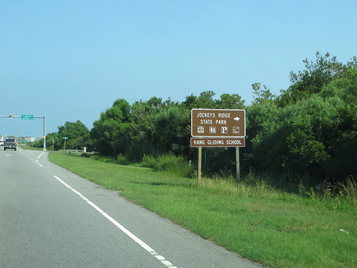
Enjoy free entry and parking at Jockey's Ridge State Park, walk the public trails in Nags Head Woods, or visit Harvey Soundside Access and Town Park.
Take a morning beach hike, ride a bike along the 11-mile Beach Road path, or hike the rustic maritime forest trails in Nags Head Woods Preserve.
For an outdoor plan from Nags Head, compare trails, state parks, national parks within trip range, and scenic drives. Options in the current city guide include Jockeys Ridge State Park and Run Hill State Natural Area.
Outdoors nearby
Use these nearby outdoor options when the plan calls for a trail, protected landscape, park, or drive instead of another indoor stop. Proximity here is geographic, not a promise about driving time.
Get out of town
When staying in town is not the answer, these nearby destinations give you a smaller starting set for a day trip, overnight escape, or weekend away.
Destination relationships are screened geographically. Straight-line proximity is not presented as road mileage or estimated travel time.
Local landmarks & attractions
These notable destinations offer a starting point when you want something specific to see, visit, or build into a day around Nags Head. Distances are approximate from the city area.
located in Kill Devil Hills, North Carolina, commemorates the first successful, sustained, powered flights in a heavier-than-air machine
historic district in North Carolina, United States
baseball field in Kill Devil Hills, North Carolina.
historic district in North Carolina, United States
Notable places are selected from structured public destination data and ranked for relevance, prominence, proximity, and variety.
Local decision signals
A useful local recommendation depends on how the city actually works. These conditions affect where to go, what to do, and whether a plan makes sense right now.
An 11-mile paved path parallels the Beach Road for biking and walking.
Covers over 420 acres and includes sand dunes reaching heights up to 100 feet.
Features 40 beers on tap and is located at Milepost 18.5 in South Nags Head.
Seasonal coverage peaks between mid-June and mid-August, transitioning to select stands and roving patrols through autumn.
Open fires/bonfires require a $10 permit obtained daily from 5:00 p.m. to 9:00 p.m. at designated fire stations.
Permitted vehicles are allowed on Nags Head beaches with a Town permit from October 1 through April 30.
Dogs are allowed on town beaches year-round provided they are kept on a leash.
Neighborhood context
Neighborhoods are not interchangeable. Each area offers a different balance of atmosphere, transportation, food, nightlife, activities, and planning friction.
Best for: Historic oceanfront exploration
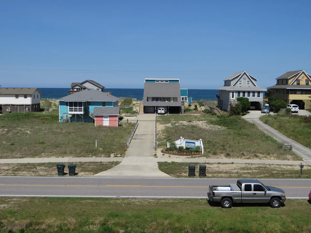
Lined with traditional beach cottages, public beach accesses, and landmark wooden fishing piers.
Best for: Shopping, dining, and commercial services
The primary commercial artery featuring strip centers, dining, outdoor outfitters, grocery stores, and major park entrances.
Best for: Quieter residential stays
A quieter residential and low-density strip along S. Old Oregon Inlet Road leading down to the edge of Cape Hatteras National Seashore.
Best for: Water sports and boat access
Area connecting Nags Head to Manteo via US-64/264, lined with water sport operators, boat launches, and soundside parks.
Nags Head local guide
Nags Head is a signature oceanfront resort town stretched linearly along an Outer Banks barrier island. Because it is bounded by Kill Devil Hills to the north, the Atlantic Ocean to the east, Roanoke Sound to the west, and Cape Hatteras National Seashore to the south, navigating the town relies heavily on understanding its parallel corridors.
Driving serves as the primary method of transport along US-158 and NC-12. Traffic patterns change dramatically between peak summer tourist hours and quieter off-season autumn-through-spring periods, meaning visitors should choose their routes based on whether they want commercial convenience or quiet coastal access.
Explore your options
Match your stay or excursion to the local area that fits your exact activity goals.
Best for historic oceanfront exploration and classic coastal views.
The primary commercial artery for daily logistics and supplies.
A quieter residential strip leading to natural seashore boundaries.
The gateway for water-based recreation and soundside views.
Practical local guidance
Jump straight to a verified activity based on what kind of experience you need right now.
A simpler way to decide
Follow these practical steps to cut through decision fatigue and map out your day.
Decide whether you need the commercial convenience of the Bypass or the coastal proximity of the Beach Road.
Factor in high tourist traffic during summer peak hours or modified operating schedules during off-season months.
Match your itinerary to a specific intent, whether that's family-friendly playgrounds, solo nature hikes, or pier-side dining.
Confirm rules if you plan to bring leashed dogs, obtain a beach fire permit, or look into seasonal 4x4 beach driving allowances.
Common local questions
These are common situations people face when trying to decide where to eat, what to do, where to get drinks, or how to spend their time in Nags Head.
Nags Head planning questions
Practical answers for people deciding where to eat, what to do, where to go, or how to make plans in Nags Head.
Driving is the main method of transport along US-158 (the Bypass) and NC-12 (the Beach Road).
Yes, dogs are allowed on town beaches year-round provided they are kept on a leash.
Open fires and bonfires require a permit obtained daily from designated fire and rescue stations.
Lifeguard stand coverage is seasonal, peaking between mid-June and mid-August, and transitioning to select stands and roving patrols through autumn.
Permitted vehicles are allowed on Nags Head beaches with a Town permit from October 1 through April 30.
An 11-mile paved multi-use path parallels the Beach Road specifically for biking and walking.
Source transparency
Official and locally relevant sources used to verify the practical information presented in this Nags Head decision guide.
Nags Head decision engine
Tell Adventria what kind of experience you want, set your practical limits, and turn the options in Nags Head into one workable plan.
Choose a Nags Head Plan