Downtown (Central Business District)
Best for
Art galleries, fine dining, historic architecture, and major performance halls.
 AdventriaLocalOpen App
Local Decision Guide
Trying to decide what to do in Asheville? Adventria helps you cut through the options and choose a good-enough plan without endless scrolling. Whether you are deciding where to dine without a reservation, navigating river crossings between West Asheville and Downtown, or timing a drive along the Blue Ridge Parkway, this guide provides clear, factual rules to help residents and visitors choose the right path across Asheville.
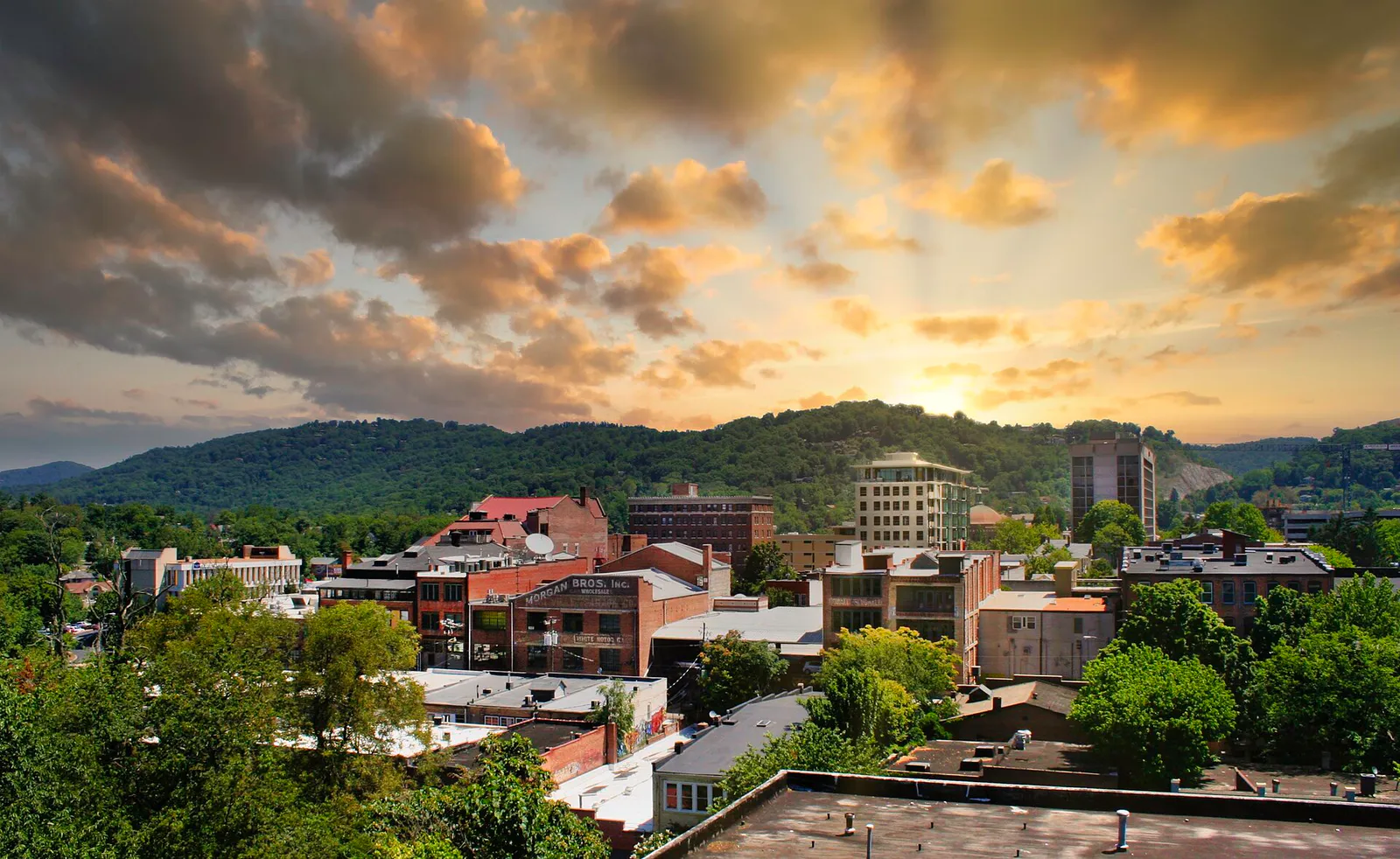
The local decision problem
How to navigate Asheville's mountain terrain, distinct commercial districts, transit bottlenecks, and reservation demands to make smart daily outing choices.
That is where Adventria comes in. Adventria helps narrow the options in Asheville around practical factors like location, distance, budget, vibe, who you are with, and the kind of experience you actually want, so research can turn into a decision.
Let Adventria narrow the optionsPick the right part of town
Different parts of Asheville work for different kinds of plans. Start with the experience you want, then narrow the map.
Best for
Art galleries, fine dining, historic architecture, and major performance halls.
Best for
Craft brewery hopping, casual food trucks, sour beer houses, and walkable taproom crawls.
Best for
Working artist studio visits, riverfront greenway walks, and informal gallery browsing.
Best for
Vintage shopping, bohemian coffee shops, neighborhood dive bars, and relaxed dining.
Best for
Historic architecture walks, quiet bed-and-breakfast stays, and shaded residential streets.
Best for
Scenic lake strolls, historic 1920s bungalows, sunset views, and golf club surroundings.
This is a quick starting point. The full guide covers 8 local neighborhoods and districts in Asheville.
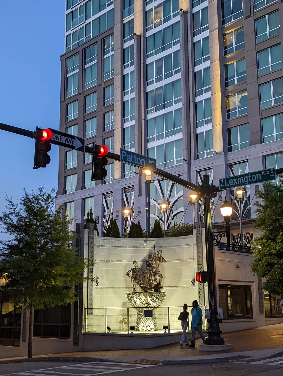
Eat & drink
When the decision is less about what to do and more about where to eat or grab a drink, start here. These local cues narrow the food and drink decision without turning dinner or a night out into another hour of comparison.
For places to eat in Asheville, start with Biltmore Village or Downtown (Central Business District) depending on the kind of stop you want. Start with Biltmore Village for boutique shopping, English Tudor architecture, and estate-adjacent dining.. Located south of Downtown at the gate to the Biltmore Estate, this planned village features cobblestone walkways, national retail, and polished full-service restaurants. Downtown (Central Business District) works for art galleries, fine dining, historic architecture, and major performance halls..
From April through October, start your Friday evening at Pritchard Park (located at Patton Avenue and College Street) for the weekly community drum circle, which runs from 6:00 PM until around 10:00 PM. Afterward, walk two blocks to Wall Street or Biltmore Avenue for late-night music at indoor clubs like The Orange Peel or catch local performers at nearby taprooms.
Still comparing options? Adventria can narrow the choice around budget, distance, vibe, and who you are with.
Decide with AdventriaPlan by situation
Start with the kind of plan you are actually trying to make. These city-specific ideas narrow the choice around who you are with, what you want to spend, the weather, and the kind of outing you want.
For an outdoor plan from Asheville, compare trails, state parks, national parks within trip range, and scenic drives. Options in the current city guide include Chimney Rock State Park and Mount Mitchell State Park.
For a short escape from Asheville, compare Gatlinburg and Boone. More options are listed in the trip section below.
Take families to Carrier Park off Amboy Road in West Asheville. Built on a former motor speedway, it features a paved 1.2-mile multi-use track, a velodrome, playground structures, and basketball courts. The park connects directly to the French Broad River Greenway, offering smooth, flat paving for strollers and bicycles.
Spend a rainy afternoon exploring the Asheville Art Museum on Pack Square, which features contemporary American art and Appalachian craft exhibits alongside an enclosed rooftop terrace cafe. Alternatively, walk to Battle Square to visit the Asheville Pinball Museum for flat-fee arcade play or explore the Moogseum downtown.
Begin with coffee along Patton Avenue, then follow the 1.7-mile self-guided Asheville Urban Trail to examine 30 bronze sculptures that depict local architectural and civic history. In the afternoon, ride ART Bus Route S4 or walk down to Depot and Roberts Streets in the River Arts District to visit working glass, pottery, and painting studios.
Visit the Thomas Wolfe Memorial on North Market Street for an affordable guided tour of 'Old Kentucky Home,' the author's childhood boardinghouse. Afterward, drive east along the Blue Ridge Parkway to Milepost 382 to browse the Southern Highland Craft Guild galleries at the Folk Art Center, which offers free admission.
Large groups often struggle with restaurant seating in historic downtown buildings. Head instead to expansive South Slope brewery spaces like Burial Beer Co., Green Man, or Hi-Wire Brewing. These facilities feature large outdoor beer gardens, self-directed seating, and individual counter ordering that easily accommodates varying arrival times and dining preferences.
Outdoors nearby
Use these nearby outdoor options when the plan calls for a trail, protected landscape, park, or drive instead of another indoor stop. Proximity here is geographic, not a promise about driving time.
Get out of town
When staying in town is not the answer, these nearby destinations give you a smaller starting set for a day trip, overnight escape, or weekend away.
Destination relationships are screened geographically. Straight-line proximity is not presented as road mileage or estimated travel time.
Local landmarks & attractions
These notable destinations offer a starting point when you want something specific to see, visit, or build into a day around Asheville. Distances are approximate from the city area.
historic house museum and tourist attraction in Asheville, North Carolina, United States
zoo in Asheville, North Carolina
art museum in Asheville, NC
music venue located in downtown Asheville, North Carolina, USA
arboretum and botanical garden in Asheville, North Carolina, United States
museum in Asheville, North Carolina
North Carolina
historic district in Asheville, North Carolina, United States
Notable places are selected from structured public destination data and ranked for relevance, prominence, proximity, and variety.
Local decision signals
A useful local recommendation depends on how the city actually works. These conditions affect where to go, what to do, and whether a plan makes sense right now.
The French Broad River separates West Asheville from Downtown, RAD, and East Asheville. Vehicle traffic relies on specific river bridges (Patton Avenue, I-26, Craven Street, Amboy Road) that experience heavy congestion during morning and evening rush hours.
Temperatures drop roughly 3°F to 5°F for every 1,000 feet of elevation gain. High-elevation Blue Ridge Parkway stops like Craggy Gardens (5,500 ft) are consistently cooler and windier than valley floors in Downtown Asheville (2,134 ft).
All 18 municipal bus routes operated by Asheville Rides Transit (ART) start and finish at a single central terminal located at 49 Coxe Avenue in Downtown Asheville.
Leaves turn at high elevations (5,500+ ft) in late September before color shifts down to mid-elevations in mid-October and lower mountain valleys or downtown by late October and early November.
City-managed parking garages offer free stays under 60 minutes and $2.00 per additional hour ($15 max), whereas on-street meters cost $2.50 per hour with active enforcement Monday through Saturday until 6:00 PM.
Multiple River Arts District working studios and downtown cultural institutions remain closed on Mondays and Tuesdays, making Thursday through Saturday the most reliable window for art tours.
Craft brewery taprooms and casual neighborhood bars generally wrap up service between 10:00 PM and midnight, though select live music halls stay open until 2:00 AM.
Neighborhood context
Neighborhoods are not interchangeable. Each area offers a different balance of atmosphere, transportation, food, nightlife, activities, and planning friction.
Best for: Art galleries, fine dining, historic architecture, and major performance halls.
Centered around Pack Square, Patton Avenue, and Haywood Street, Downtown is the high-density cultural heart of Asheville, packed with Gilded Age buildings, independent retail, and formal venues.
Best for: Craft brewery hopping, casual food trucks, sour beer houses, and walkable taproom crawls.
Located directly south of Downtown around Coxe and Asheland Avenues, this former industrial zone is Asheville's primary craft beer hub, offering open patio seating and short walks between venues.
Best for: Working artist studio visits, riverfront greenway walks, and informal gallery browsing.
Spanning Depot, Roberts, Riverside, and Lyman streets along the French Broad River, RAD occupies repurposed industrial warehouses housing hundreds of working artists.
Best for: Vintage shopping, bohemian coffee shops, neighborhood dive bars, and relaxed dining.
Situated across the French Broad River, West Asheville centers on Haywood Road. It offers a distinct local atmosphere with independent bakeries, record shops, and residential pockets.
Best for: Historic architecture walks, quiet bed-and-breakfast stays, and shaded residential streets.
Bordering Downtown to the north, Montford is a preserved National Register historic neighborhood featuring Victorian and Arts & Crafts homes alongside Riverside Cemetery.
Best for: Scenic lake strolls, historic 1920s bungalows, sunset views, and golf club surroundings.
Extending along Merrimon and Kimberly Avenues, this area contains UNC Asheville, Beaver Lake, and historic resort estates overlooking the valley.
Best for: Boutique shopping, English Tudor architecture, and estate-adjacent dining.
Located south of Downtown at the gate to the Biltmore Estate, this planned village features cobblestone walkways, national retail, and polished full-service restaurants.
Best for: Regional craft breweries, Blue Ridge Parkway access, and suburban nature centers.
Stretching east along Tunnel Road and I-40 toward Swannanoa, East Asheville houses flagship brewing facilities and the Southern Highland Craft Guild's Folk Art Center.
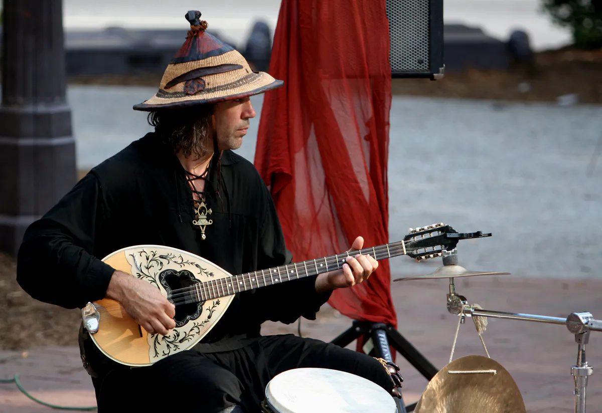
Asheville local guide
Asheville rests in a mountain basin in the Blue Ridge Mountains at an elevation of approximately 2,134 feet, framed by ridges rising past 6,000 feet. This dramatic topography defines local travel patterns. A destination that appears only five miles away on a map can easily require a 20-to-25-minute drive due to steep gradients, winding two-lane roads, and regional highway choke points like I-26 and I-240.
The French Broad River acts as a major geographical divider between West Asheville and the rest of the city. Drivers crossing between Downtown, the River Arts District, and West Asheville must use designated bridge corridors along Patton Avenue, Craven Street, Amboy Road, or I-26. During morning and evening commute periods—as well as peak tourist months—these bridge pinch points funnel heavy vehicle volume, making route planning essential.
Public transit is provided by Asheville Rides Transit (ART), operating 18 regular routes out of a central hub at 49 Coxe Avenue in Downtown Asheville. Standard fares are $1.00 with free 90-minute transfers available upon request. Key lines include Route S3, which links the Coxe Avenue station to Mission Hospital, Biltmore Village, and Asheville Regional Airport (AVL), and Routes N1 and N2, which connect Downtown to Merrimon Avenue and UNC Asheville.
Explore your options
Match your day's priorities with the operational strengths and practical layout of each primary district.
Best for architecture tours, fine dining, rooftop views, and major visual art galleries around Pack Square.
Best for informal group gatherings, brewery crawling, food trucks, and low-stress walk-in dining.
Best for daytime studio visits, meeting local craft artisans, and flat riverside walks.
Best for independent coffee shops, vintage record shopping, dive bars, and outdoor park access.
Practical local guidance
Avoid local stress by keeping these verified operational guidelines in mind before setting out.
A simpler way to decide
Follow this sequence to account for mountain topography, parking constraints, and dining demand.
Select one primary hub—such as Downtown, RAD, or West Asheville—for your core morning and afternoon activities to minimize river bridge crossings during peak traffic.
If your plans include driving the Blue Ridge Parkway or visiting outdoor overlooks, check real-time NPS road status maps and pack layers, noting that temperatures drop 3°F to 5°F per 1,000 feet of elevation gain.
Book timed entry slots for Biltmore Estate tours and reserve weekend dinner tables at high-demand downtown bistros well ahead of your travel dates.
For downtown stays lasting longer than two hours, bypass street meters ($2.50/hr) and pull directly into a City garage ($15/day max) or County deck ($12/day max) to avoid meter expiration.
If visiting popular spots spontaneously without reservations, redirect your evening to South Slope brewery kitchens or West Asheville counter-service spots along Haywood Road.
If relying on ART public transit, note that routes end service around 10:30 PM Monday through Saturday and 6:30 PM on Sundays. Check Harrah's Cherokee Center event schedules to anticipate early garage fill-ups.
Common local questions
These are common situations people face when trying to decide where to eat, what to do, where to get drinks, or how to spend their time in Asheville.
Asheville planning questions
Practical answers for people deciding where to eat, what to do, where to go, or how to make plans in Asheville.
Municipal transit is operated by Asheville Rides Transit (ART). All 18 bus routes originate from the central ART Transit Station at 49 Coxe Avenue in Downtown Asheville. Fares are $1.00 per ride (cash or card at the terminal), with free 90-minute transfers available upon request. Discounted fares ($0.50) apply to seniors, students, and Medicare recipients.
On-street metered parking costs $2.50 per hour Monday through Saturday from 8:00 AM to 6:00 PM, and is free after 6:00 PM, on Sundays, and on City holidays. City-managed garages offer free parking for under 60 minutes, then $2.00 per hour up to a $15.00 daily maximum. Buncombe County garages charge $1.00 per first half-hour and $1.00 per hour thereafter, with a $12.00 daily maximum.
Temperatures decrease by roughly 3°F to 5°F for every 1,000 feet of elevation gained. While Downtown Asheville rests at about 2,134 feet, nearby Parkway spots rise above 5,000 feet. Pack extra clothing layers when heading to high-elevation overlooks, as conditions will be noticeably colder and windier than in town.
Working studios in RAD are most active Thursday through Saturday from 11:00 AM to 5:00 PM. Many individual artist studios close Sunday through Tuesday. Visiting on the second Saturday of any month offers access to special studio demonstrations, workshops, and artist receptions during the monthly 'Second Saturday' event.
High-demand, James Beard Award-winning bistros and popular estate-adjacent restaurants in Downtown and Biltmore Village often book out weeks or months in advance for weekend dinner slots. For casual, unreserved dining, target the South Slope brewery district or Haywood Road in West Asheville.
No. Because the National Park Service does not plow or salt the Blue Ridge Parkway, significant high-elevation sections and shaded tunnel passes around Asheville close frequently during late autumn, winter, and early spring due to snow and ice accumulation. Always check the official NPS Parkway closure map before driving.
Free activities include watching the Friday Night Drum Circle at Pritchard Park (Apr–Oct), strolling the 1.7-mile self-guided Asheville Urban Trail, walking the Wilma Dykeman and French Broad River greenways, visiting Carrier Park, and browsing Southern Highland Craft Guild galleries at the Folk Art Center.
The French Broad River separates West Asheville from the rest of the city. All vehicular traffic must cross via specific bridges on Patton Avenue, I-26, Craven Street, or Amboy Road, creating natural bottlenecks during morning and evening rush hours.
The Orange Peel at 101 Biltmore Avenue prohibits large bags, backpacks, outside food and beverages, and professional recording equipment. Showgoers should check show-specific age restrictions (typically 18+ unless designated All-Ages) and bring only small personal clutches or wallets.
ART Route S3 connects the central ART Transit Station at 49 Coxe Avenue directly to Mission Hospital, Biltmore Village, Hendersonville Road, and Asheville Regional Airport (AVL).
Source transparency
Official and locally relevant sources used to verify the practical information presented in this Asheville decision guide.
Asheville decision engine
Tell Adventria what kind of experience you want, set your practical limits, and turn the options in Asheville into one workable plan.
Choose a Asheville Plan