Downtown Historic District
Best for
Museums, historic cobblestone streets, local brewpubs, and cultural events
 AdventriaLocalOpen App
Local Decision Briefing
Trying to decide what to do in New Bedford? Adventria helps you cut through the options and choose a good-enough plan without endless scrolling. Whether you are commuting on the MBTA South Coast Rail, seeking authentic Portuguese cuisine along Acushnet Avenue, or exploring historic harbor walks, this guide breaks down New Bedford's neighborhoods, transit options, weather realities, and district logistics.
The local decision problem
How to navigate New Bedford's distinct geographic divides, coastal microclimates, and vibrant Portuguese cultural hubs for dining, day trips, and transit planning.
That is where Adventria comes in. Adventria helps narrow the options in New Bedford around practical factors like location, distance, budget, vibe, who you are with, and the kind of experience you actually want, so research can turn into a decision.
Let Adventria narrow the optionsPick the right part of town
Different parts of New Bedford work for different kinds of plans. Start with the experience you want, then narrow the map.
Best for
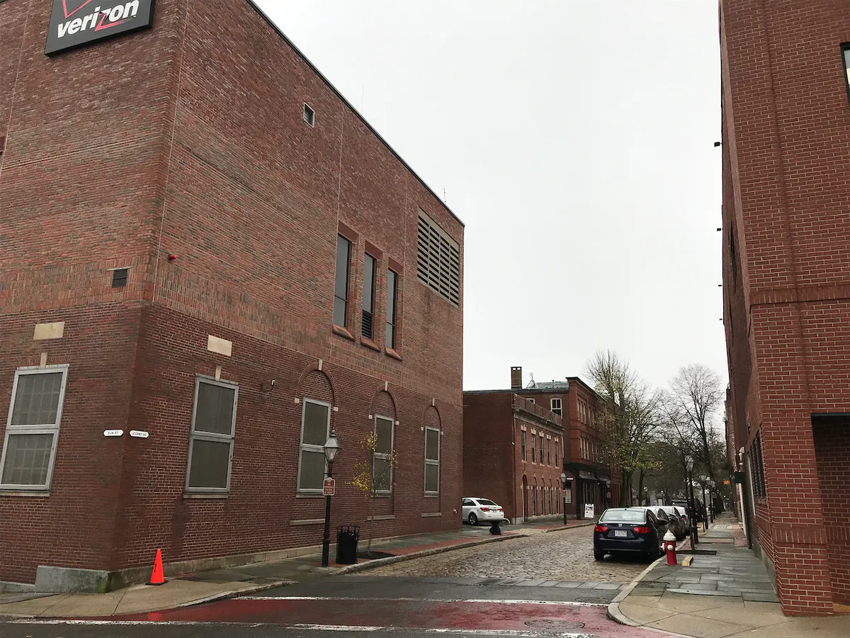
Museums, historic cobblestone streets, local brewpubs, and cultural events
Best for
Waterfront arts, performing venues, and historic maritime landmarks
Best for
Authentic Portuguese bakeries, traditional markets, and cultural festivals
Best for
Coastal walks, oceanfront parks, historic military sites, and converted mill venues
Best for
Victorian architecture, family zoo outings, formal gardens, and quiet neighborhood walks
Best for
Commercial fishing harbor, island passenger ferries, and fresh seafood dining
Eat & drink
When the decision is less about what to do and more about where to eat or grab a drink, start here. These local cues narrow the food and drink decision without turning dinner or a night out into another hour of comparison.
Head to the North End along Acushnet Avenue for casual churrascarias serving charcoal-grilled meats, traditional seafood like bacalhau, and authentic bakeries offering pastéis de nata. For sit-down Portuguese breakfast or harbor-adjacent dining, explore Downtown cafes and South End waterfront spots.
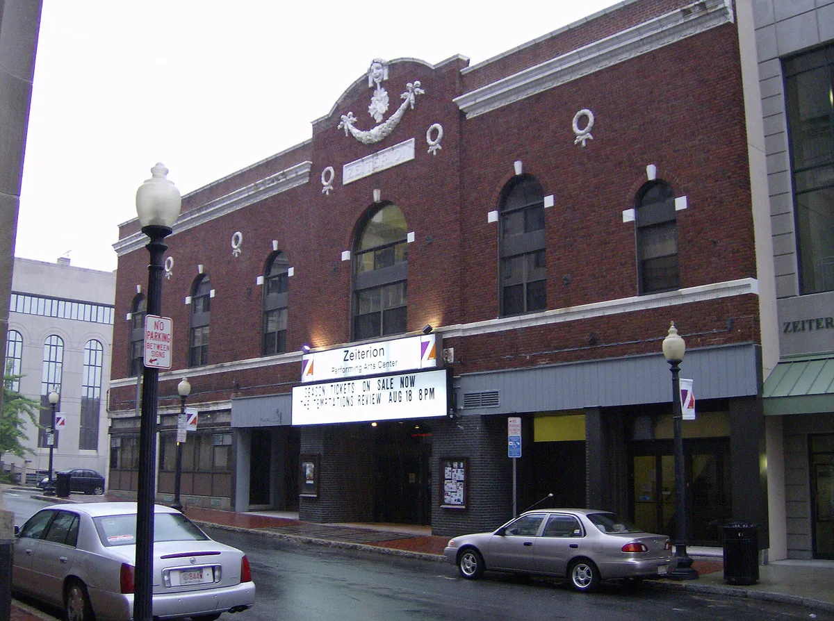
Start with dinner in the Downtown Historic District or along the pier, followed by craft beers at local brewpubs along Rose Alley or Purchase Street. Check performance schedules at the Zeiterion Performing Arts Center or time your visit for the second Thursday of the month for AHA! Night.
Still comparing options? Adventria can narrow the choice around budget, distance, vibe, and who you are with.
Decide with AdventriaPlan by situation
Start with the kind of plan you are actually trying to make. These city-specific ideas narrow the choice around who you are with, what you want to spend, the weather, and the kind of outing you want.
Take a quiet walk through the Victorian formal gardens at the Rotch-Jones-Duff House, followed by a sunset promenade along the elevated CoveWalk overlooking Clark's Cove. End the evening with tapas and fine wine in downtown New Bedford or craft drinks at a converted waterfront mill.
For an overnight getaway from New Bedford, compare Beacon and Saratoga Springs. More options are listed in the trip section below.
Begin your Saturday morning in the Downtown Historic District exploring the New Bedford Whaling Museum and Seamen's Bethel. After lunch at a downtown tavern, spend the afternoon visiting the interactive animal exhibits at Buttonwood Park Zoo or enjoying oceanfront views at Fort Taber Park.
Spend a rainy day indoors touring the expansive collections at the New Bedford Whaling Museum, exploring local maritime heritage at the Fishing Heritage Center, or taking guided indoor tours of historic Greek Revival mansions and military museum exhibits.
Take advantage of zero-cost activities by exploring the National Historical Park Visitor Center, strolling the elevated CoveWalk, and riding the fare-free SRTA local buses. Plan trips around monthly AHA! Nights for free museum admissions and complimentary parking.
Follow self-guided walking routes such as the 'Lighting the Way' historic women's trail or the local Black History Trail. Spend uninterrupted time exploring rotating exhibits at the New Bedford Art Museum or reading at the New Bedford Free Public Library, taking coffee breaks at neighborhood bakeries.
Gather at outdoor waterfront venues like Cisco Brewers at Kilburn Mill or grab casual seating at local brewpubs downtown. Groups can also explore the artisan markets inside Kilburn Mill or take self-guided group walks through the cobblestone streets of the historic district.
Outdoors nearby
Use these nearby outdoor options when the plan calls for a trail, protected landscape, park, or drive instead of another indoor stop. Proximity here is geographic, not a promise about driving time.
Get out of town
When staying in town is not the answer, these nearby destinations give you a smaller starting set for a day trip, overnight escape, or weekend away.
Destination relationships are screened geographically. Straight-line proximity is not presented as road mileage or estimated travel time.
Local landmarks & attractions
These notable destinations offer a starting point when you want something specific to see, visit, or build into a day around New Bedford. Distances are approximate from the city area.
maritime museum in New Bedford
zoo in Massachusetts, United States
state capitol building of the U.S. state of Rhode Island
maritime museum in Fall River, Massachusetts, USA
athletic complex and recreation center located in Newport, Rhode Island, United States
non-profit organization in the USA
boulder etched with petroglyphs
theater in Providence, Rhode Island
Notable places are selected from structured public destination data and ranked for relevance, prominence, proximity, and variety.
Local decision signals
A useful local recommendation depends on how the city actually works. These conditions affect where to go, what to do, and whether a plan makes sense right now.
Massachusetts Route 18 separates the cobblestone Downtown Historic District from the active working waterfront and State Pier. Use marked pedestrian signals and crosswalks at Union Street or William Street to cross safely.
US Route 6 links New Bedford to Fairhaven via a historic swing bridge that rotates periodically for commercial vessel traffic, introducing short vehicular delays during maritime openings.
During severe coastal storm surges or major tidal events, street gates across Rodney French Boulevard and Padanaram Avenue close to seal off the inner harbor, blocking vehicular entry to the southern tip of Clark's Point.
Buzzards Bay breezes create cooler shorefront conditions along CoveWalk, HarborWalk, and Fort Taber Park, often dropping effective outdoor temperatures compared to inland neighborhoods.
Southeastern Regional Transit Authority (SRTA) bus routes throughout New Bedford and neighboring towns operate completely fare-free under funded state budget provisions.
Passenger ferry connections at State Pier rely on offsite parking at the Whale's Tooth Park & Ride Lot on Acushnet Avenue, linked directly by shuttle buses.
Downtown municipal parking garages (Elm Street and Zeiterion) offer complimentary parking during monthly second-Thursday AHA! Night cultural events.
Neighborhood context
Neighborhoods are not interchangeable. Each area offers a different balance of atmosphere, transportation, food, nightlife, activities, and planning friction.
Best for: Museums, historic cobblestone streets, local brewpubs, and cultural events
A 13-block historic center filled with 19th-century architecture, gas lamps, National Historical Park sites, art galleries, and craft dining.
Best for: Waterfront arts, performing venues, and historic maritime landmarks
Overlapping the downtown core, this designated district highlights working harbor culture, historic houses like the Nathan and Polly Johnson House, and active theater spaces.
Best for: Authentic Portuguese bakeries, traditional markets, and cultural festivals
Centered around Acushnet Avenue, this vibrant neighborhood is the cultural home of New Bedford's Portuguese, Madeiran, and immigrant communities.
Best for: Coastal walks, oceanfront parks, historic military sites, and converted mill venues
A prominent coastal peninsula surrounded by Buzzards Bay, featuring Fort Taber Park, public beaches, converted historic textile mills, and elevated dike walkways.
Best for: Victorian architecture, family zoo outings, formal gardens, and quiet neighborhood walks
A leafy residential area lined with grand 19th-century captain's mansions along County Street, anchored by an expansive city park and zoo.
Best for: Commercial fishing harbor, island passenger ferries, and fresh seafood dining
The high-value commercial seafood hub along the Acushnet River, accommodating active processing plants, island ferry slips, and offshore wind terminals.
New Bedford local guide
New Bedford's urban layout is intimately tied to its coastal position on Buzzards Bay and the Acushnet River. The city is broadly organized into five primary districts, each carrying distinct historical roles and modern everyday uses. The Downtown Historic District and adjacent Seaport Cultural District form a compact, walkable center defined by preserved 19th-century architecture, stone cobblestone streets, and major cultural institutions. Moving east toward the water, Massachusetts Route 18 creates a physical barrier that separates downtown from the active Working Waterfront, where commercial fish-processing facilities, island ferry terminals, and wind energy staging piers line the harbor.
To the south, the Clark's Point peninsula extends out into Buzzards Bay, bordered by Clark's Cove on the west and the harbor on the east. This coastal section contains Fort Taber Park, municipal public beaches, converted historic textile complexes like Kilburn Mill, and the massive hurricane barrier system. To the north, the North End centers along Acushnet Avenue, forming the commercial hub for the city's Portuguese-American and international communities. To the west, leafy historic streets lined with Victorian captain's mansions connect downtown to Buttonwood Park and its accredited zoo.
Explore your options
Match your daily plans, transit needs, and dining preferences to New Bedford's main functional areas.
The primary walkable hub for history, museums, theater, and downtown dining.
The cultural epicenter for authentic Portuguese food, traditional bakeries, and local markets.
An oceanfront peninsula geared toward coastal recreation, parks, and historic mill venues.
America's top seafood port by value, supporting commercial fleets and island ferries.
Practical local guidance
Keep these key operational and geographic factors in mind when navigating the city.
A simpler way to decide
Follow these step-by-step recommendations to build a seamless itinerary combining local transit, historic landmarks, and coastal dining.
Arrive via the MBTA South Coast Rail line directly at New Bedford Station, or drive via Interstate 195 and park in the municipal Elm Street or Zeiterion garages.
Start at the National Historical Park Visitor Center on William Street before visiting the New Bedford Whaling Museum and historic Seamen's Bethel.
Walk to a downtown Portuguese cafe or take a fare-free SRTA bus up to Acushnet Avenue in the North End for charcoal-grilled chicken and fresh pastéis de nata.
Travel south to Clark's Point to walk along the elevated CoveWalk atop the stone hurricane barrier and explore the oceanfront lawns at Fort Taber Park.
Cross Route 18 via designated pedestrian crosswalks to finish your day with fresh local scallops or seafood dinner at State Pier.
Common local questions
These are common situations people face when trying to decide where to eat, what to do, where to get drinks, or how to spend their time in New Bedford.
New Bedford planning questions
Practical answers for people deciding where to eat, what to do, where to go, or how to make plans in New Bedford.
Passengers can ride the MBTA South Coast Rail directly from Boston's South Station to New Bedford Station. Bicycles are permitted on board, and the station features fully accessible high-level platforms.
Yes, the Southeastern Regional Transit Authority (SRTA) operates fixed-route bus services across New Bedford and surrounding communities completely fare-free through funded state transit grants.
Ferries depart from State Pier on the Working Waterfront. High-speed seasonal catamarans serve Martha's Vineyard and Nantucket, while the M/V Cuttyhunk provides year-round ferry passenger and freight service to Cuttyhunk Island.
Ferry passengers generally park offsite at the Whale's Tooth Park & Ride Lot on Acushnet Avenue, which provides connecting shuttle bus service directly to State Pier. Valet services are also available at the terminal.
AHA! (Art, History, Architecture) is a monthly cultural event held on the second Thursday evening of every month. Participating Downtown museums, galleries, and cultural venues offer free public admission and special programming, accompanied by free parking in municipal garages.
The highest concentration of traditional Portuguese restaurants, churrascarias, and bakeries is along Acushnet Avenue in the North End ('The Ave'). Excellent Portuguese cafes and seafood dining spots are also located in Downtown and near the South End waterfront.
Route 18 (Downtown Expressway) separates the historic downtown area from the waterfront. Pedestrians can cross safely using traffic-signal-controlled crosswalks located at Union Street and William Street.
The Blue Lane is a multi-mile continuous waterfront path system in the South End. It includes the elevated CoveWalk atop the western hurricane barrier, the HarborWalk on the eastern barrier, and the Saulnier Memorial Bike Trail around Clark's Point.
The annual Feast of the Blessed Sacrament—often called the Portuguese Feast—takes place in late summer at Madeira Field in the North End, featuring traditional Portuguese food, live music, and cultural events.
Top indoor destinations include the New Bedford Whaling Museum, the Fishing Heritage Center, the Rotch-Jones-Duff House & Garden Museum, and art exhibitions at Gallery X or the New Bedford Art Museum.
Source transparency
Official and locally relevant sources used to verify the practical information presented in this New Bedford decision guide.
New Bedford decision engine
Tell Adventria what kind of experience you want, set your practical limits, and turn the options in New Bedford into one workable plan.
Choose a New Bedford Plan