Downtown / Front Street
Best for
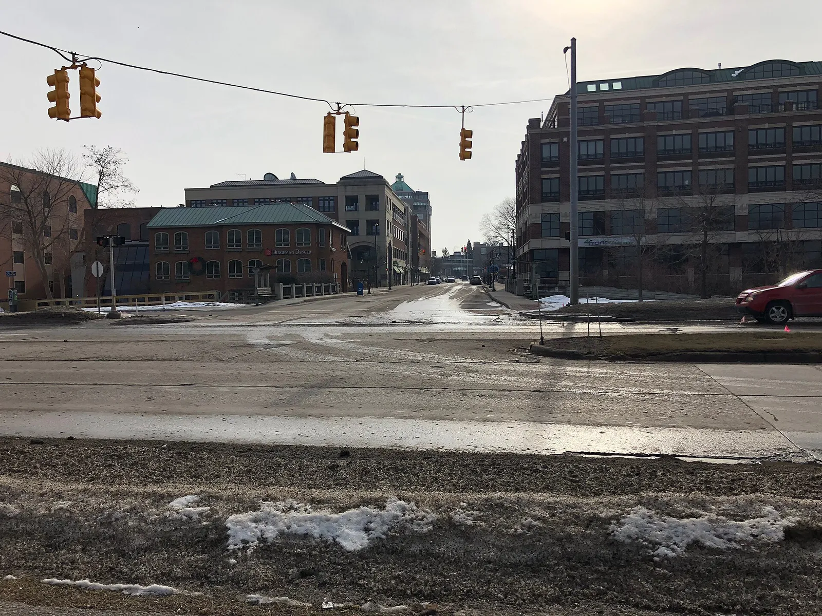
Walkable shopping, historic brick retail corridors, farm-to-table restaurants, brewpubs, and waterfront park access
 AdventriaLocalOpen App
Adventria Local Guide
Use this guide to cut through choices in Traverse City. Whether you are looking for dinner downtown, family beach time, or a rainy-day indoor excursion, find clear direction based on verified local facts.
The local decision problem
Navigating seasonal congestion, downtown parking rules, and choosing among distinct activity corridors and peninsula wine regions.
That is where Adventria comes in. Adventria helps narrow the options in Traverse City around practical factors like location, distance, budget, vibe, who you are with, and the kind of experience you actually want, so research can turn into a decision.
Let Adventria narrow the optionsPick the right part of town
Different parts of Traverse City work for different kinds of plans. Start with the experience you want, then narrow the map.
Best for
Walkable shopping, historic brick retail corridors, farm-to-table restaurants, brewpubs, and waterfront park access
Best for
Indoor shops, galleries, eateries, and wooded parkland exploration
Best for
Urban riverwalks, kayak launch points, and dining
Best for
Craft breweries, service businesses, and trail access
Best for
Agricultural and viticultural exploration
Eat & drink
Trying to decide where to eat in Traverse City? Start with the local dining context below and narrow the decision around the kind of meal or experience you actually want.
Try farm-to-table dining along Front Street such as Amical, breakfast cafes in historic settings like Frenchie's or The Omelet Shop, or local eateries inside The Village at Grand Traverse Commons.
Still comparing options? Adventria can narrow the choice around budget, distance, vibe, and who you are with.
Decide with AdventriaPlan by situation
Start with the kind of plan you are actually trying to make. These city-specific ideas narrow the choice around who you are with, what you want to spend, the weather, and the kind of outing you want.
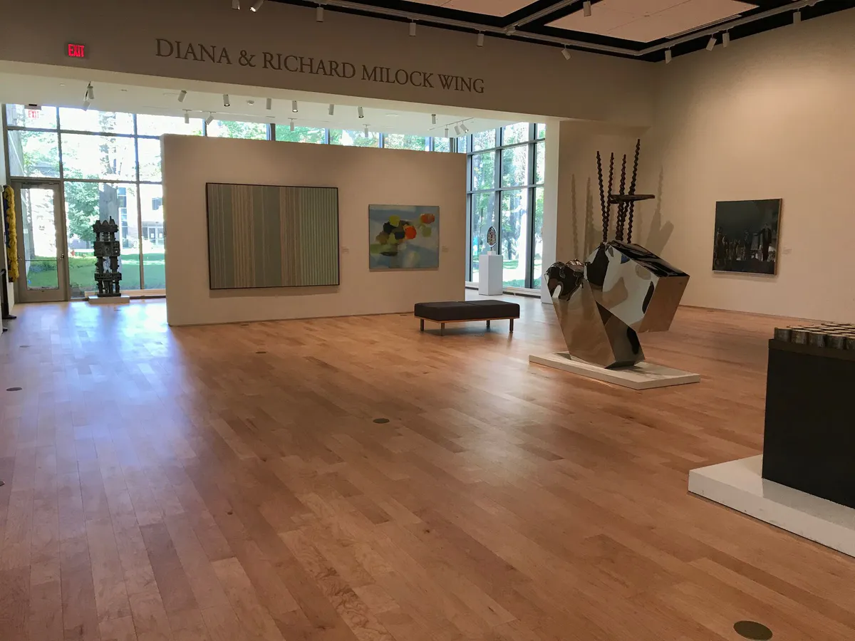
Browse shops, boutiques, and galleries enclosed within The Grand Traverse Commons, or visit the Dennos Museum Center.
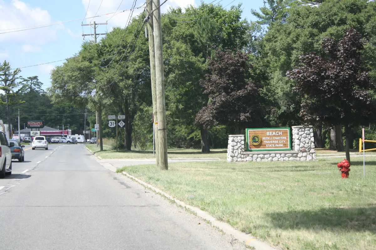
For an outdoor plan from Traverse City, compare trails, state parks, national parks within trip range, and scenic drives. Options in the current city guide include Charters Traverse City State Park and Meyer & Keystone Soccer.
For a short escape from Traverse City, compare Charlevoix and Petoskey. More options are listed in the trip section below.
Visit Clinch Park for the splash pad and beach, play at Civic Center Park playground, or head to Pirate's Cove Adventure Park.
Stroll Clinch Park or Open Space, ride the BATA Bayline route across town, hike the trails surrounding Grand Traverse Commons, or view sunset from Bryant Park.
Bike the Boardman Lake Loop, browse local indie shops and galleries inside Grand Traverse Commons, or paddle the Boardman-Ottaway River.
Outdoors nearby
Use these nearby outdoor options when the plan calls for a trail, protected landscape, park, or drive instead of another indoor stop. Proximity here is geographic, not a promise about driving time.
Get out of town
When staying in town is not the answer, these nearby destinations give you a smaller starting set for a day trip, overnight escape, or weekend away.
Destination relationships are screened geographically. Straight-line proximity is not presented as road mileage or estimated travel time.
Local landmarks & attractions
These notable destinations offer a starting point when you want something specific to see, visit, or build into a day around Traverse City. Distances are approximate from the city area.
museum in Traverse City, Michigan
theater in Traverse City, Michigan, United States
casino and hotel in the United States
historic district in Michigan, United States
football stadium in Traverse City, Michigan
movie theater in Traverse City, Michigan, United States
outdoor sculpture park near Thompsonville, Michigan
historic district in Michigan, United States
Notable places are selected from structured public destination data and ranked for relevance, prominence, proximity, and variety.
Local decision signals
A useful local recommendation depends on how the city actually works. These conditions affect where to go, what to do, and whether a plan makes sense right now.
Brings peak traffic, congested downtown street parking, and high waterfront activity.
Spring blossom and autumn harvest offer lower accommodation rates and active wine tours.
The Bayline cross-town shuttle runs daily every 15 to 17 minutes between 6:00 AM and 9:00 PM.
Larry C. Hardy and Old Town parking structures provide covered, low-cost long-term and overnight options.
Neighborhood context
Neighborhoods are not interchangeable. Each area offers a different balance of atmosphere, transportation, food, nightlife, activities, and planning friction.
Best for: Walkable shopping, historic brick retail corridors, farm-to-table restaurants, brewpubs, and waterfront park access
The core walkable commercial center running parallel to the West Grand Traverse Bay shore.
Best for: Indoor shops, galleries, eateries, and wooded parkland exploration
A mixed-use district southwest of downtown built on the repurposed grounds and historic yellow-brick buildings of the former Traverse City State Hospital, surrounded by 480 acres of wooded parkland.
Best for: Urban riverwalks, kayak launch points, and dining
The central ribbon where the Boardman-Ottaway River flows through Boardman Lake into Grand Traverse Bay, offering access near Cass and Union Streets.
Best for: Craft breweries, service businesses, and trail access
Located south of Front Street, hosting a residential-commercial mix and access to the Boardman Lake Loop trail.
Best for: Agricultural and viticultural exploration
Two major agricultural and viticultural fingers extending into Lake Michigan north/northwest of town; Old Mission Peninsula divides Grand Traverse Bay, while Leelanau Peninsula borders the West Arm.
Traverse City local guide
Traverse City serves as the regional commercial, dining, and cultural center of Northern Michigan, situated at the southern tip of the East and West arms of Grand Traverse Bay. Known as the Cherry Capital of the World, the city transitions from a bustling summer beach and boating market into a quiet autumn harvest and winter sports hub.
Choosing how to spend your time depends heavily on the season and your tolerance for summer congestion. By leaning on walkable districts, local trail networks, and regional transit, you can bypass common parking bottlenecks and focus on the area's fresh water, orchards, and wine country.
Explore your options
Focus your day by selecting a district that matches your immediate goal, from walkable retail to historic grounds.
The vibrant core running parallel to the West Grand Traverse Bay shore.
Repurposed historic hospital buildings surrounded by vast wooded parkland.
An urban ribbon connecting the river, lake, and bay.
Agricultural fingers extending north into Lake Michigan.
Practical local guidance
Use these verified activity recommendations to instantly solve common planning friction points.
A simpler way to decide
Follow these practical steps to navigate Traverse City efficiently without getting bogged down by traffic or parking.
Acknowledge that summer brings peak traffic and high downtown parking congestion, while shoulder seasons offer quieter wine tours and lower rates.
Utilize metered street parking, surface lots, or multi-level structures like Larry C. Hardy and Old Town for low-cost covered parking.
Board the BATA Bayline free cross-town shuttle to easily connect East Bay, Northwestern Michigan College, and downtown without driving.
Connect through downtown, Clinch Park, and out toward Suttons Bay and Acme using the paved, non-motorized TART Trail network.
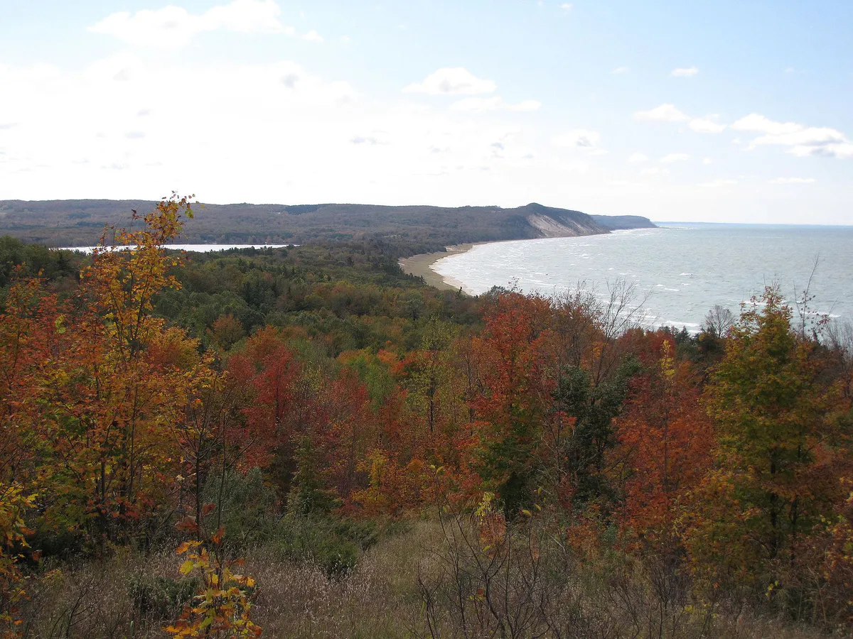
Take scenic drives up the local peninsulas or travel approximately 40 minutes west to experience the towering dunes of Sleeping Bear Dunes National Lakeshore.
Common local questions
These are common situations people face when trying to decide where to eat, what to do, where to get drinks, or how to spend their time in Traverse City.
Traverse City planning questions
Practical answers for people deciding where to eat, what to do, where to go, or how to make plans in Traverse City.
The Bay Area Transportation Authority operates the Bayline, a free cross-town shuttle running daily every 15–17 minutes between 6:00 AM and 9:00 PM.
Two multi-level parking structures—Larry C. Hardy on East State Street and Old Town on East Eighth Street—provide low-cost long-term or overnight covered parking.
You can browse shops, boutiques, and galleries enclosed within The Grand Traverse Commons or visit the Dennos Museum Center.
Families can visit Clinch Park for the splash pad and beach, play at the Civic Center Park playground, or head to Pirate's Cove Adventure Park.
Sleeping Bear Dunes National Lakeshore is located approximately 40 minutes west of Traverse City.
Source transparency
Official and locally relevant sources used to verify the practical information presented in this Traverse City decision guide.
Traverse City decision engine
Tell Adventria what kind of experience you want, set your practical limits, and turn the options in Traverse City into one workable plan.
Choose a Traverse City Plan