Downtown Laramie
Best for
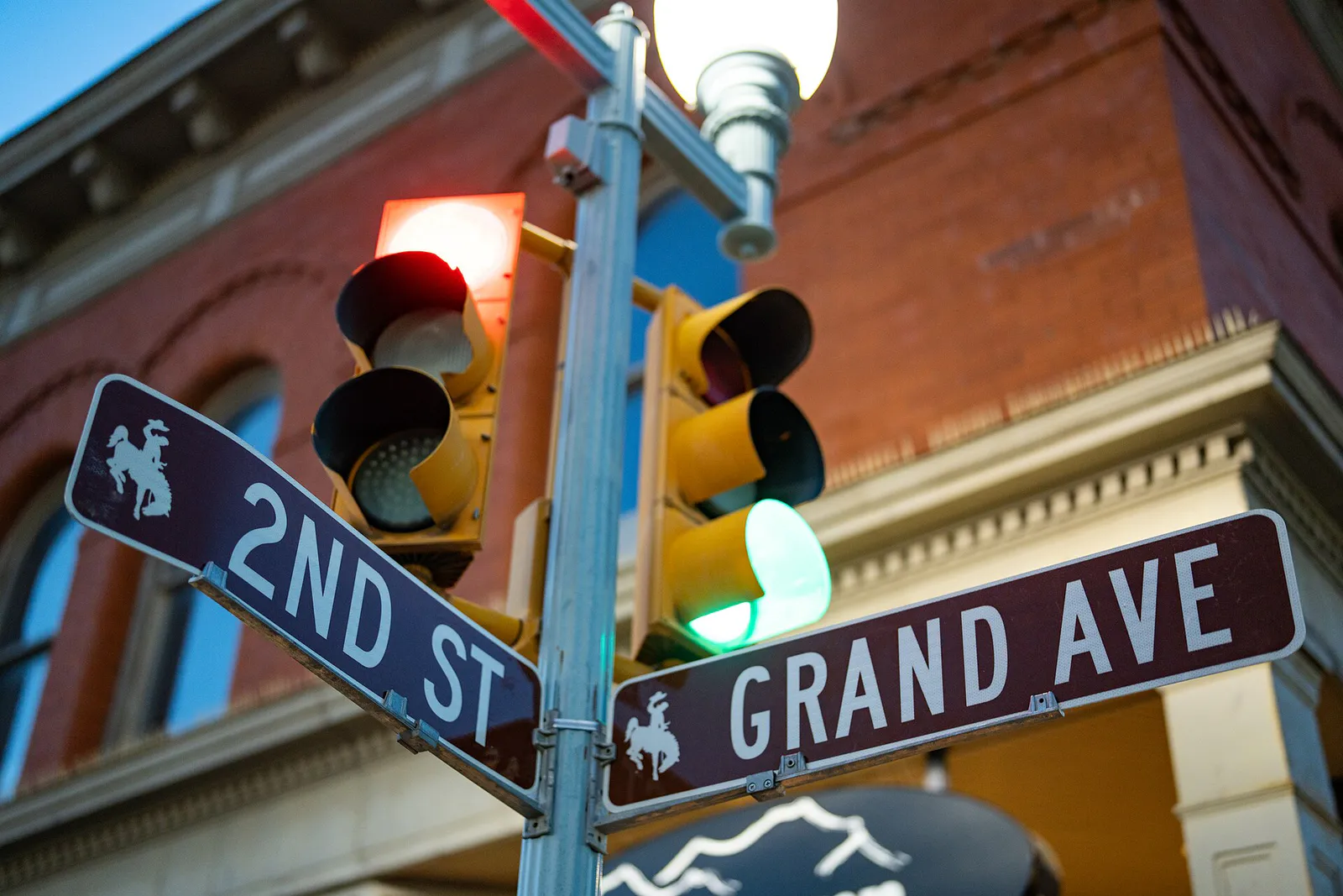
Independent microbreweries, coffee roasters, global eateries, local shops, and public art from the Laramie Mural Project.
 AdventriaLocalOpen App
Adventria Local Guide
Use this decision guide to quickly choose between downtown dining, campus culture, and high-altitude mountain adventures based on your time and weather.
The local decision problem
Balancing urban downtown exploration with high-altitude mountain recreation while navigating seasonal road closures and weather changes.
That is where Adventria comes in. Adventria helps narrow the options in Laramie around practical factors like location, distance, budget, vibe, who you are with, and the kind of experience you actually want, so research can turn into a decision.
Let Adventria narrow the optionsPick the right part of town
Different parts of Laramie work for different kinds of plans. Start with the experience you want, then narrow the map.
Best for
Independent microbreweries, coffee roasters, global eateries, local shops, and public art from the Laramie Mural Project.
Best for
Arts, athletics, geology, and cultural programming.
Best for
Alpine lakes, hiking trails, and seasonal high-altitude access.
Best for
Rock climbing, mountain biking, and hiking.
Eat & drink
Trying to decide where to eat in Laramie? Start with the local dining context below and narrow the decision around the kind of meal or experience you actually want.
Sample local brews across downtown's dense brewery cluster (including Altitude Chophouse, Coal Creek TAP, and Bond's Brewing), or try long-running local staples like Sweet Melissa Cafe.
Still comparing options? Adventria can narrow the choice around budget, distance, vibe, and who you are with.
Decide with AdventriaPlan by situation
Start with the kind of plan you are actually trying to make. These city-specific ideas narrow the choice around who you are with, what you want to spend, the weather, and the kind of outing you want.
Explore free campus institutions including the UW Geological Museum, the UW Art Museum, or the UW Anthropology Museum.
For an outdoor plan from Laramie, compare trails, state parks, and national parks within trip range. Options in the current city guide include Curt Gowdy State Park and Rocky Mountain National Park.
For a short escape from Laramie, compare Estes Park and Cheyenne. More options are listed in the trip section below.
Take a self-guided downtown mural walk or watch trains cross from the Union Pacific Railroad Footbridge.
Outdoors nearby
Use these nearby outdoor options when the plan calls for a trail, protected landscape, park, or drive instead of another indoor stop. Proximity here is geographic, not a promise about driving time.
Get out of town
When staying in town is not the answer, these nearby destinations give you a smaller starting set for a day trip, overnight escape, or weekend away.
Destination relationships are screened geographically. Straight-line proximity is not presented as road mileage or estimated travel time.
Local landmarks & attractions
These notable destinations offer a starting point when you want something specific to see, visit, or build into a day around Laramie. Distances are approximate from the city area.
building in Laramie, Wyoming, United States
botanical garden and greenhouse
in Laramie, Wyoming
Laramie West Side Historic District of house and building, a U.S. National Register of Historic Places U.S. Historic district
arts center in Laramie, Wyoming, United States
monument in Albany County, Wyoming
University of Wyoming building
Notable places are selected from structured public destination data and ranked for relevance, prominence, proximity, and variety.
Local decision signals
A useful local recommendation depends on how the city actually works. These conditions affect where to go, what to do, and whether a plan makes sense right now.
Roughly 7,200 feet above sea level
Served directly by Interstate 80
Five craft breweries sitting within five blocks of each other
Neighborhood context
Neighborhoods are not interchangeable. Each area offers a different balance of atmosphere, transportation, food, nightlife, activities, and planning friction.
Best for: Independent microbreweries, coffee roasters, global eateries, local shops, and public art from the Laramie Mural Project.
A walkable multi-block historic grid adjacent to the Union Pacific rail lines.
Best for: Arts, athletics, geology, and cultural programming.
Positioned east of downtown, this sprawling academic center acts as the primary hub for university activities.
Best for: Alpine lakes, hiking trails, and seasonal high-altitude access.
Mountain area traversed by Highway 130 (Snowy Range Scenic Byway).
Best for: Rock climbing, mountain biking, and hiking.
Granite rock formations off Interstate 80 between Laramie and Cheyenne.
Laramie local guide
Laramie is a high-plains college town and historic railroad city situated at roughly 7,200 feet elevation in Albany County, Wyoming. It serves as the primary gateway to the Medicine Bow National Forest and Snowy Range Mountains while anchored by the University of Wyoming.
While downtown features compact, pedestrian-friendly walking, personal vehicle transport is necessary for surrounding forest recreation and state parks.
Explore your options
Match your itinerary to the right district based on whether you want urban food and drink or mountain exploration.
Best for walkable dining, local history, and independent craft beverages.
Best for indoor cultural exploration and academic museum exhibits.
Best for outdoor recreation, rock climbing, and scenic high-altitude driving.
Practical local guidance
Use this checklist of notable sites when planning your day around town.
A simpler way to decide
Follow these practical steps to avoid common travel friction points in southeastern Wyoming.
High elevation and severe winter wind or snow can impact travel; Interstate 80 and the Snowy Range Scenic Byway face seasonal closures.
Park downtown if you intend to explore microbreweries and local shops on foot, or secure vehicle transport for forest access.
Opt for university museums during inclement weather, or head east to Pole Mountain and west to the Snowy Range when conditions clear.
Common local questions
These are common situations people face when trying to decide where to eat, what to do, where to get drinks, or how to spend their time in Laramie.
Laramie planning questions
Practical answers for people deciding where to eat, what to do, where to go, or how to make plans in Laramie.
Laramie is located in Albany County, Wyoming, sitting at roughly 7,200 feet elevation along Interstate 80.
Downtown features independent microbreweries, coffee roasters, global eateries, local shops, and public art from the Laramie Mural Project within a walkable historic grid.
Yes, visitors can explore free campus institutions including the UW Geological Museum, the UW Art Museum, and the UW Anthropology Museum.
The Snowy Range Scenic Byway reaches high elevations and is typically closed seasonally from mid-November through Memorial Day weekend.
You can explore rock climbing, mountain biking, and hiking at Vedauwoo Recreation Area or visit alpine lakes and hiking trails in the Snowy Range.
Source transparency
Official and locally relevant sources used to verify the practical information presented in this Laramie decision guide.
Laramie decision engine
Tell Adventria what kind of experience you want, set your practical limits, and turn the options in Laramie into one workable plan.
Choose a Laramie Plan