Park Circle
Best for
Walkable dining, independent retail, inclusive family parks, and neighborhood pub outings.
 AdventriaLocalOpen App
Local Decision Engine
Trying to decide what to do in North Charleston? Adventria helps you cut through the options and choose a good-enough plan without endless scrolling. North Charleston sits at the central crossroads of the tri-county metro area. Rather than a single central downtown, the city operates as a collection of targeted districts: walkable garden-city neighborhoods, industrial waterfront parks, high-capacity concert sites, and international dining corridors. Use this guide to navigate local schedules, event traffic, transit, and venue-specific logistics across every district.
The local decision problem
Navigating North Charleston's distinct pockets—from walkable historic garden districts to arena venues, craft corridors, and suburban commercial arteries—while managing travel friction and operating constraints.
That is where Adventria comes in. Adventria helps narrow the options in North Charleston around practical factors like location, distance, budget, vibe, who you are with, and the kind of experience you actually want, so research can turn into a decision.
Let Adventria narrow the optionsPick the right part of town
Different parts of North Charleston work for different kinds of plans. Start with the experience you want, then narrow the map.
Best for
Walkable dining, independent retail, inclusive family parks, and neighborhood pub outings.
Best for
Neotraditional residential streetscapes, sustainable housing, and sidewalk-connected dining.
Best for
Waterfront strolls, naval architecture tours, historic conservation, and outdoor concert grounds.
Best for
Craft beer taprooms, local spirit tastings, food trucks, and casual evening gatherings.
Best for
Outlet shopping, regional conventions, arena events, and airport-adjacent stays.
Best for
Authentic international dining, suburban retail shopping, and movie outings.
This is a quick starting point. The full guide covers 7 local neighborhoods and districts in North Charleston.
Eat & drink
When the decision is less about what to do and more about where to eat or grab a drink, start here. These local cues narrow the food and drink decision without turning dinner or a night out into another hour of comparison.
Head 5–10 minutes down Montague Avenue to the Park Circle core. Places like EVO Pizzeria (wood-fired pizzas) or Jackrabbit Filly (modern Chinese-American) offer excellent pre-show meals. Allocate time to drive back and park before showtime, as venue parking off International Blvd fills quickly on event nights.
Park Circle's East Montague Avenue offers pedestrian-friendly sidewalk access to independent bakeries, bookstores, eateries, and neighborhood pubs. You can park for free on the street or in public lots behind the storefronts and explore on foot without needing to return to your car.
Still comparing options? Adventria can narrow the choice around budget, distance, vibe, and who you are with.
Decide with AdventriaPlan by situation
Start with the kind of plan you are actually trying to make. These city-specific ideas narrow the choice around who you are with, what you want to spend, the weather, and the kind of outing you want.
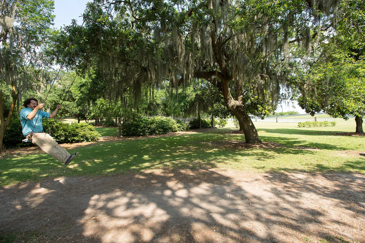
Visit the 55,000-square-foot Park Circle Playground at 4800 Park Circle for fully inclusive, wheelchair-accessible play structures, rubberized surfacing, sensory tunnels, and shaded canopy misting zones. For summer water park play, head to Whirlin' Waters Adventure Waterpark at Wannamaker County Park.
Riverfront Park and the Noisette Creek Pedestrian Bridge are completely free to visit and offer Cooper River views and manicured grounds. Park Circle's inclusive playground and walking rings are also free. Wannamaker County Park charges a minor entry gate fee ($2 per person) for access to miles of paved trails, disc golf, and off-leash dog parks.
For an outdoor plan from North Charleston, compare trails, state parks, national parks within trip range, and scenic drives. Options in the current city guide include Givhans Ferry State Park and Kitfield Park.
For a short escape from North Charleston, compare Beaufort and Hilton Head Island. More options are listed in the trip section below.
Start with spirit tastings and food trucks on the lawn at Firefly Distillery, then head across Noisette Creek to Holy City Brewing's 4.5-acre campus for dinner and tap beers. Cap off the evening with a sunset walk across the curvilinear Noisette Creek Pedestrian Bridge into Riverfront Park.
Outdoors nearby
Use these nearby outdoor options when the plan calls for a trail, protected landscape, park, or drive instead of another indoor stop. Proximity here is geographic, not a promise about driving time.
Get out of town
When staying in town is not the answer, these nearby destinations give you a smaller starting set for a day trip, overnight escape, or weekend away.
Destination relationships are screened geographically. Straight-line proximity is not presented as road mileage or estimated travel time.
Local landmarks & attractions
These notable destinations offer a starting point when you want something specific to see, visit, or build into a day around North Charleston. Distances are approximate from the city area.
human settlement in South Carolina, United States of America
1943 Essex-class aircraft carrier
multi-purpose arena in North Charleston, South Carolina
theater in Charleston, South Carolina, United States
United States historic place
historic botanical garden in Moncks Corner, South Carolina
fire Museum in North Charleston, South Carolina
monument
Notable places are selected from structured public destination data and ranked for relevance, prominence, proximity, and variety.
Local decision signals
A useful local recommendation depends on how the city actually works. These conditions affect where to go, what to do, and whether a plan makes sense right now.
Situated in the geographical center of the Charleston tri-county region, housing Charleston International Airport (CHS), Joint Base Charleston, and major industrial facilities.
Former naval base grounds along the Cooper River transformed into Riverfront Park, historic residential areas, research labs, and concert space.
High density of craft breweries, spirit distilleries, and open-air food sites focused along the Spruill Avenue corridor and Noisette Creek.
Features the 55,000-square-foot Park Circle Playground, recognized as the world's largest inclusive playground, paired with a community arts center and open-air pavilion.
The Lowcountry Rapid Transit (LCRT) project in engineering pre-construction plans a 21.3-mile Bus Rapid Transit corridor running primarily down Rivers Avenue.
Peak commute congestion focuses on 'Malfunction Junction' (I-26/I-526) and the North Bridge Crossing (SC-7) over the Ashley River into West Ashley.
Neighborhood context
Neighborhoods are not interchangeable. Each area offers a different balance of atmosphere, transportation, food, nightlife, activities, and planning friction.
Best for: Walkable dining, independent retail, inclusive family parks, and neighborhood pub outings.
Originally designed in 1912 as a garden-city community, Park Circle is the cultural center of North Charleston. Lined with independent restaurants and bakeries along East Montague Avenue, it surrounds a massive central park circle housing the world's largest inclusive playground.
Best for: Neotraditional residential streetscapes, sustainable housing, and sidewalk-connected dining.
An eco-friendly, neotraditional smart-growth development directly adjacent to Park Circle. Characterized by narrow cobblestone-style streets, energy-efficient housing, and walkable plazas.
Best for: Waterfront strolls, naval architecture tours, historic conservation, and outdoor concert grounds.
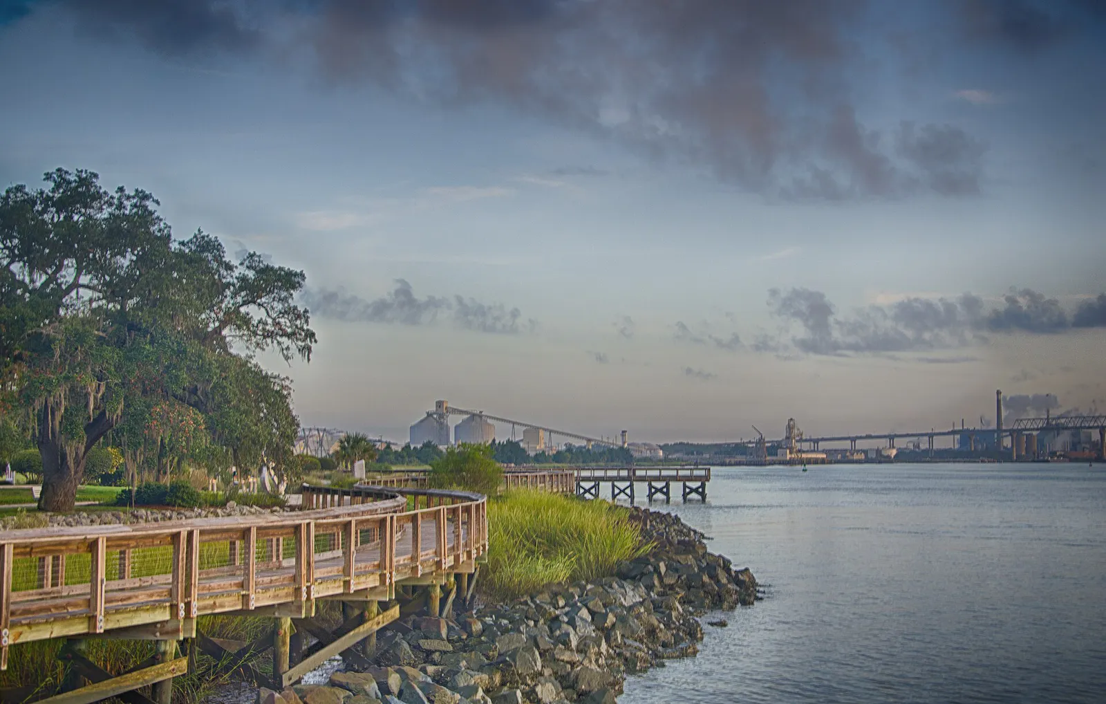
Occupying the former Charleston Naval Base along the Cooper River, this historic waterfront district features Riverfront Park, the Noisette Creek Pedestrian Bridge, historical naval officers' quarters, and the active conservation lab housing the historic H.L. Hunley submarine.
Best for: Craft beer taprooms, local spirit tastings, food trucks, and casual evening gatherings.
An industrial-turned-creative corridor connecting Park Circle to the waterfront. It serves as the primary craft beverage district, hosting Holy City Brewing on Noisette Creek, Firefly Distillery, and specialized artisan eateries.
Best for: Outlet shopping, regional conventions, arena events, and airport-adjacent stays.
A major commercial engine near the I-26 and I-526 interchange. Surrounds Tanger Outlets Charleston and sits directly adjacent to the North Charleston Coliseum, Performing Arts Center, and Charleston Area Convention Center.
Best for: Authentic international dining, suburban retail shopping, and movie outings.
A dense suburban commercial hub anchored by Northwoods Mall and strip centers along Ashley Phosphate Road and Rivers Avenue, widely known for diverse ethnic dining options including Pho, Mexican taquerias, and South American bakeries.
Best for: Recreational access, local park facilities, and direct links toward Summerville and historic highways.
A major arterial stretching along the city's western edge toward Joint Base Charleston and West Ashley, offering access to sports complexes, suburban neighborhoods, and historic river roads.
Explore your options
Review key operational characteristics, transportation realities, and primary features for North Charleston's main districts.
A walkable, human-scale micro-region centered around East Montague Avenue and green residential streets.
An industrial waterfront and craft production strip connecting historic naval sites to modern taprooms.
An auto-centric commercial hub built around high-volume retail, convention halls, and sports arenas.
A suburban shopping and dining strip in upper North Charleston known for international food choices.
Practical local guidance
Keep these venue-specific rules and scheduling constraints in mind to avoid unexpected disruptions.
A simpler way to decide
Follow this strategy to minimize arrival traffic and exit delays when attending hockey games or concerts at the Coliseum complex.
Confirm show start times and gate opening windows on your ticket, keeping in mind that arena parking lanes backed up onto International Boulevard early.
Avoid using I-26 Exit 213 during peak event arrival windows if possible; route via Paramount Drive or Montague Avenue from alternate directions.
Have $10 ready for arena lot attendants off Montague Avenue or International Boulevard, which accept cash or card.
Eat dinner along East Montague Avenue or Spruill Avenue before heading to the complex to avoid venue entry rushes.
When exiting post-event, follow designated traffic control officer directions toward I-526 or Mark Clark Expressway rather than attempting U-turns onto congested main arterials.
Common local questions
These are common situations people face when trying to decide where to eat, what to do, where to get drinks, or how to spend their time in North Charleston.
North Charleston planning questions
Practical answers for people deciding where to eat, what to do, where to go, or how to make plans in North Charleston.
No. Public exhibit tours for the H.L. Hunley at the Warren Lasch Conservation Center run exclusively on Saturdays (10:00 AM–5:00 PM) and Sundays (10:00 AM–3:00 PM). During weekdays, the facility operates as an active scientific laboratory preserving Civil War artifacts.
Event parking at the Coliseum, Performing Arts Center, and Convention Center complex is $10 per vehicle, payable by cash or card upon entering surface lots off Montague Avenue and International Boulevard.
Yes. CARTA operates fixed bus routes connecting major corridors, including Route 10 (Rivers Ave), Route 104 (Montague Ave), Route 11 (Dorchester Rd/Airport), and Route 12 (Ashley Phosphate Rd). Engineering is also underway for Lowcountry Rapid Transit (LCRT), South Carolina's first Bus Rapid Transit line.
Wannamaker County Park features a dedicated, fully fenced off-leash dog park that includes its own 'Splash Paw' dog spray fountain for dogs to cool off during warm months.
No. The North Charleston Fire Museum permanently closed its operations in February 2026.
Park Circle offers free parallel street parking along East Montague Avenue, as well as designated free public surface parking lots situated directly behind storefronts and within the central circle ring.
Because on-site parking at Holy City Brewing's creekside campus is strictly limited (~100 spots), guests who arrive via rideshare can show their ride receipt to receive a 10% discount on their tab.
For aquatic play, Whirlin' Waters Adventure Waterpark at Wannamaker County Park offers 15 acres of wave pools and waterslides from late May to early August. Alternatively, Park Circle Playground features shaded canopy misting areas and rubberized surfaces suitable for early morning play.
Firefly Distillery hosts 'On The Porch' sessions every Saturday afternoon from 12:00 PM to 6:00 PM, featuring rotated local food trucks, spirit tastings, and live music on their marshfront lawn.
Source transparency
Official and locally relevant sources used to verify the practical information presented in this North Charleston decision guide.
North Charleston decision engine
Tell Adventria what kind of experience you want, set your practical limits, and turn the options in North Charleston into one workable plan.
Choose a North Charleston Plan