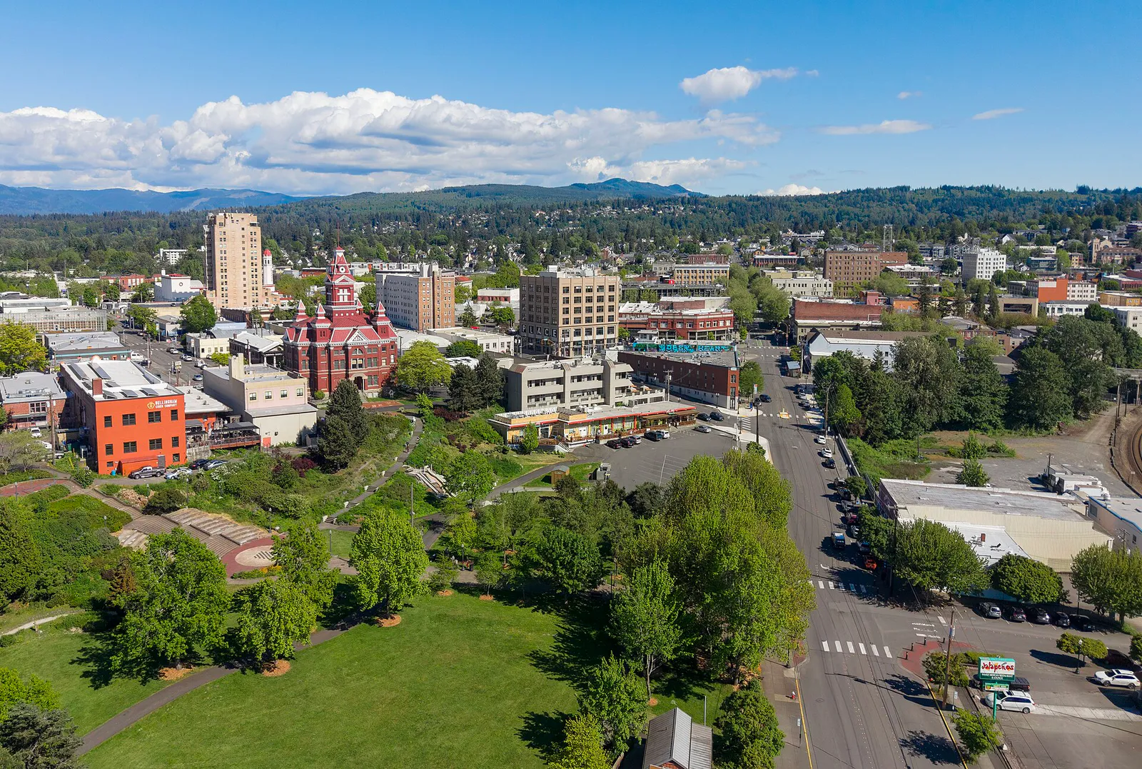
City Center (Downtown)
Best for
Arts, independent cinema, dining, and historic architecture
 AdventriaLocalOpen App
Northwest Washington City Decision Guide
Trying to decide what to do in Bellingham? Adventria helps you cut through the options and choose a good-enough plan without endless scrolling. A practical decision guide to navigating Bellingham's distinct urban villages, craft breweries, weather shifts, paid parking rules, and outdoor trail networks without getting derailed by local travel friction.
The local decision problem
Choosing optimal local dining, recreation, and cultural activities while managing terrain friction, weather shifts, paid parking zones, and academic calendar spikes.
That is where Adventria comes in. Adventria helps narrow the options in Bellingham around practical factors like location, distance, budget, vibe, who you are with, and the kind of experience you actually want, so research can turn into a decision.
Let Adventria narrow the optionsPick the right part of town
Different parts of Bellingham work for different kinds of plans. Start with the experience you want, then narrow the map.
Best for
Arts, independent cinema, dining, and historic architecture
Best for
Coastal walks, historic village charm, boutique shops, and travel hubs
Best for
Craft brewery hopping, casual dining, and food trucks
Best for
Quiet tree-lined walks, historic residential architecture, and parks
Best for
Student living, greenbelt trail access, and elevated arboretum views
Best for
Waterfalls, lakefront recreation, and dense evergreen trail hikes
This is a quick starting point. The full guide covers 8 local neighborhoods and districts in Bellingham.
Eat & drink
Trying to decide where to eat in Bellingham? Start with the local dining context below and narrow the decision around the kind of meal or experience you actually want.
Head to the Sunnyland brewery district or Downtown taprooms like Boundary Bay Brewery or Gruff Brewing. Sunnyland taprooms such as Kulshan (James St) or Wander Brewing offer indoor and covered outdoor seating with rotating local food trucks, allowing casual dining without booking ahead. Kitchens generally close around 9:00–10:00 PM.
Still comparing options? Adventria can narrow the choice around budget, distance, vibe, and who you are with.
Decide with AdventriaPlan by situation
Start with the kind of plan you are actually trying to make. These city-specific ideas narrow the choice around who you are with, what you want to spend, the weather, and the kind of outing you want.
For an outdoor plan from Bellingham, compare trails, state parks, national parks within trip range, and scenic drives. Options in the current city guide include Larrabee and Clark Island.
For a short escape from Bellingham, compare Port Townsend and Friday Harbor. More options are listed in the trip section below.
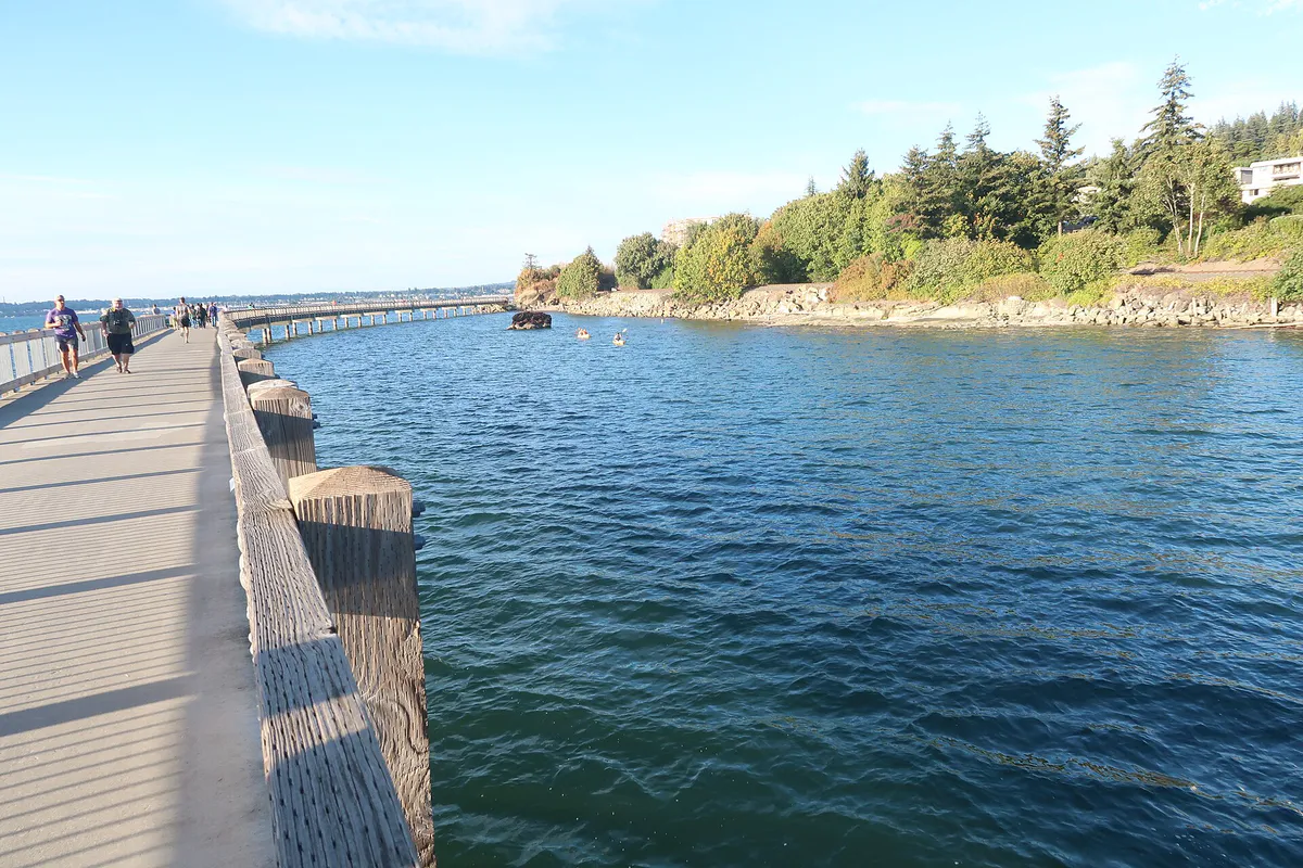
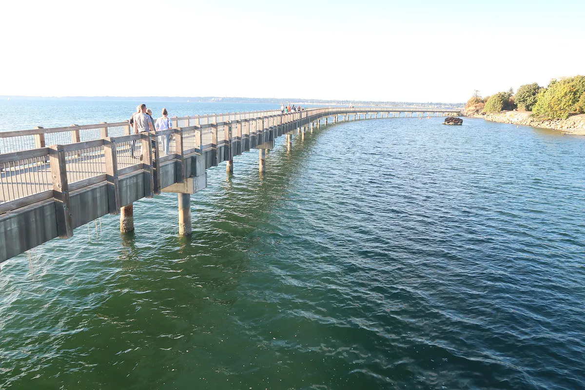
Take a sunset walk along the Taylor Dock boardwalk over Bellingham Bay at Boulevard Park, then head into Fairhaven or Downtown for dinner. Follow up with an independent movie at Pickford Film Center or drinks at Aslan Depot or a local cider house.
Visit the SPARK Museum of Electrical Invention on Bay Street to explore historic electrical artifacts and witness the MegaZapper Tesla Coil show on weekends. Alternatively, explore the Lightcatcher Building (housing the Family Interactive Gallery) or Old City Hall at Whatcom Museum, catch an art-house film at Pickford Film Center, or go bouldering indoors at VITAL Climbing Gym.
Visit the free Marine Life Center at Squalicum Harbor to interact with local Salish Sea marine life in public touch tanks. Spend the afternoon at Whatcom Falls Park exploring easy paved trails, viewing the 1939 stone bridge and four natural waterfalls, feeding fish at the children's trout pond, or riding the public pump track.
Take a self-guided stroll through Western Washington University's campus to view its outdoor sculpture tour, then climb through Sehome Hill Arboretum's forested trails for elevated views. Work remotely or read at local coffee spots like Makeworth, Roam, or Woods Coffee, or boulder at VITAL Climbing Gym.
Outdoors nearby
Use these nearby outdoor options when the plan calls for a trail, protected landscape, park, or drive instead of another indoor stop. Proximity here is geographic, not a promise about driving time.
Get out of town
When staying in town is not the answer, these nearby destinations give you a smaller starting set for a day trip, overnight escape, or weekend away.
Destination relationships are screened geographically. Straight-line proximity is not presented as road mileage or estimated travel time.
Local landmarks & attractions
These notable destinations offer a starting point when you want something specific to see, visit, or build into a day around Bellingham. Distances are approximate from the city area.
museum in Bellingham, Washington
zoo in Langley, British Columbia, Canada
monument at the Canada-USA border
theater in Bellingham, Washington
neighborhood of Bellingham, Washington, USA
art museum, History museum in Bellingham, Washington
sports arena in Bellingham, Washington
park in Sehome
Notable places are selected from structured public destination data and ranked for relevance, prominence, proximity, and variety.
Local decision signals
A useful local recommendation depends on how the city actually works. These conditions affect where to go, what to do, and whether a plan makes sense right now.
Downtown functions as a unified parking zone with progressive hourly rates ($1.50/hr for hours 1–2 up to $5.00/hr for hour 7+) enforced Monday through Saturday from 11:00 AM to 6:00 PM; paying at a machine or via PayByPhone allows moving between metered spots across Downtown within the same session.
With 36–39 inches of annual rain peaking from November to January, wet weather mostly arrives as continuous light drizzle rather than heavy downpours; breathable waterproof shells are preferred locally over umbrellas.
Western Washington University's 16,000 students on a quarterly calendar create intense traffic and accommodation surges during mid-September move-ins and graduation weekends, while quarter breaks in late December, late March, and summer free up parking in Happy Valley, Sehome, and Downtown.
Proximity to the Canadian border means favorable currency exchange rates and statutory holidays in British Columbia cause major traffic increases along I-5 North and SR 539 (Guide Meridian), particularly around retail corridors and border access routes.
Steep hills separating the waterfront, Downtown, Sehome Hill, and South Hill create physical barriers for walking and non-e-bike cycling.
BNSF railway tracks run parallel to the waterfront and Fairhaven, causing vehicle delays at grade crossings along coastal access roads near Boulevard Park.
Whatcom Transportation Authority (WTA) buses feature frequent GO Lines with $2 base fares capped at $6 daily or $60 monthly using contactless or Umo payment systems, with free rides for youth 18 and under.
Neighborhood context
Neighborhoods are not interchangeable. Each area offers a different balance of atmosphere, transportation, food, nightlife, activities, and planning friction.
Best for: Arts, independent cinema, dining, and historic architecture
The historic civic core packed with brick buildings, venues like Mount Baker Theatre and SPARK Museum, and independent dining along Holly and State Streets. Uses progressive meter parking.
Best for: Coastal walks, historic village charm, boutique shops, and travel hubs
An 1890s historic port town annexed in 1903, featuring Victorian brick buildings, coastal access, ferry/train connections, and paid progressive parking.
Best for: Craft brewery hopping, casual dining, and food trucks
A light-industrial and residential neighborhood forming the epicenter of Bellingham's craft brewery scene with spots like Kulshan, Wander, and Twin Sisters.
Best for: Quiet tree-lined walks, historic residential architecture, and parks
Old residential neighborhoods featuring Victorian and Craftsman homes, Elizabeth Park, and easy walking/biking connections to Downtown.
Best for: Student living, greenbelt trail access, and elevated arboretum views
Hilly residential areas directly adjacent to Western Washington University, featuring dense student rentals, Sehome Hill Arboretum, and Connelly Creek trails.
Best for: Waterfalls, lakefront recreation, and dense evergreen trail hikes
Eastern neighborhoods anchored by the 241-acre Whatcom Falls Park and the western shores of Lake Whatcom at Bloedel Donovan Park.
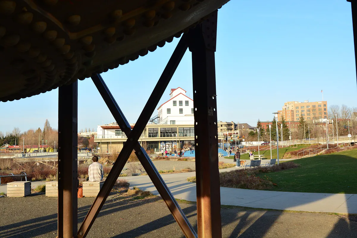
Best for: Industrial history, modern urban parkland, and bayfront sculpture
A redeveloped former Georgia-Pacific industrial waterfront site showcasing Waypoint Park, the Acid Ball sculpture, and coastal beach access.
Best for: Suburban shopping, medical hubs, and easy surface lot parking
Northern and eastern master-planned urban villages featuring business parks, Whatcom Community College, and modern retail options with ample free surface parking.
Bellingham local guide
Bellingham is geographically bounded by Bellingham Bay and the Salish Sea to the west, Lake Whatcom to the east, and the Chuckanut Mountains to the south, with Mount Baker dominating the eastern skyway via Highway 542. Navigating the city effectively requires understanding its terrain transitions. Downtown City Center and the Waterfront District sit at sea level, while historic neighborhoods like Sehome, South Hill, and Alabama Hill climb steep inclines that present physical friction for pedestrians and non-electric cyclists.
Interstate 5 bisects the city north-south, serving as the primary vehicular backbone alongside major arterial corridors like Guide Meridian (SR 539) for commercial access to the north and Chuckanut Drive (SR 11) for scenic coastal routes to the south. Public transportation is efficiently operated by the Whatcom Transportation Authority (WTA), centered at Downtown's Bellingham Station and North Bellingham's Cordata Station. WTA's GO Lines provide 15-minute frequent service connecting major hubs including WWU, Fairhaven, and Barkley Village. Riders can take advantage of WTA's contactless fare-capping system ($6 daily, $60 monthly cap, youth 18 and under free) to move seamlessly across town without driving.
For drivers, parking dynamics vary by district. Downtown City Center and Fairhaven utilize metered street parking from 11:00 AM to 6:00 PM, Monday through Saturday, featuring a progressive hourly rate structure. Because Downtown operates under a unified pay zone system, motorists who register parking via kiosk or the PayByPhone app can relocate to another metered space within Downtown without paying again during their paid session.
Explore your options
Match your outing structure to your group dynamic to avoid local friction points like steep elevation steps, limited kitchen hours, or parking meter enforcement.
Combine quiet solo active recreation with flexible indoor work and community spaces across central districts.
Focus on low-cost interactive learning centers and protected outdoor trail systems with minimal traffic exposure.
Pair scenic coastal walking routes with historic art-house entertainment and craft beverage spaces.
Gather in spacious outdoor beer gardens and food truck hubs designed for non-reserved group drop-ins.
Practical local guidance
Local plans in Bellingham are heavily shaped by microclimates, marine tides, border mechanics, and Western Washington University academic cycles. Keep these factors in mind:
A simpler way to decide
Follow these operational steps to streamline parking, transit, dining, and cultural stops in the city center.
If driving downtown during enforcement hours (11:00 AM–6:00 PM, Mon–Sat), download the PayByPhone app or locate a street kiosk. If staying for several hours, park at the Commercial Street Parking Garage (1300 Commercial St). Alternatively, catch a WTA GO Line bus directly to Bellingham Station.
Because Downtown operates as a single unified parking zone, your paid parking session remains valid across all metered spaces in Downtown until your time expires, allowing you to move your car closer to your next stop without re-paying.
If wet drizzle is falling, prioritize indoor cultural stops along Bay, Flora, and Prospect Streets (SPARK Museum, Whatcom Museum Lightcatcher, Old City Hall). On dry days, incorporate Waypoint Park or the South Bay Trail.
Drop into non-reservation taprooms or casual eateries along Holly Street or Railroad Avenue before kitchens close (typically 9:00–10:00 PM). Check rotating food truck schedules if visiting taprooms without full-service kitchens.
Finish your evening with a show at Mount Baker Theatre, live music at Wild Buffalo House of Music, an indie movie at Pickford Film Center, or late-night pinball and bites at The Racket.
Common local questions
These are common situations people face when trying to decide where to eat, what to do, where to get drinks, or how to spend their time in Bellingham.
Bellingham planning questions
Practical answers for people deciding where to eat, what to do, where to go, or how to make plans in Bellingham.
Metered street parking in Downtown City Center and Fairhaven is enforced Monday through Saturday from 11:00 AM to 6:00 PM. Rates follow a progressive scale: $1.50/hr for hours 1–2, $2.00/hr for hours 3–4, $3.00/hr for hours 5–6, and $5.00/hr for hour 7 and beyond. Parking is free after 6:00 PM and all day on Sundays and city holidays.
Downtown is managed as a single unified parking zone. When you purchase parking time via a street pay station or the PayByPhone app, that paid session applies to any metered space within Downtown. You can move your car to a different metered block in Downtown during the same session without paying again.
Whatcom Transportation Authority (WTA) provides comprehensive bus coverage anchored at Bellingham Station (Downtown) and Cordata Station. Frequent 'GO Lines' run every 15 minutes connecting Downtown, WWU, Fairhaven, and Barkley. Fares feature a $2 base price capped at $6 per day or $60 per month using contactless payment or the Umo Mobility app, with free rides for youth 18 and under.
Galbraith Mountain, located on the city's eastern boundary, is Bellingham's premier mountain biking destination. Managed by the Whatcom Mountain Bike Coalition (WMBC), it features an extensive network of world-class singletrack trails for various skill levels. Whatcom Falls Park also offers a public dirt pump track.
Top indoor choices include the SPARK Museum of Electrical Invention on Bay Street (featuring interactive electrical exhibits and the MegaZapper Tesla Coil show on weekends), the Family Interactive Gallery (FIG) inside the Lightcatcher Building at Whatcom Museum, and the free Marine Life Center touch tanks at Squalicum Harbor.
The Bellingham Farmers Market takes place on Saturdays from April through December under the covered pavilion at Depot Market Square (1100 Railroad Ave) in Downtown City Center.
WWU enrolls roughly 16,000 students on a quarterly academic system. Mid-September move-in week and spring graduation weekends cause significant spikes in local traffic, restaurant dining, and hotel bookings. Conversely, during quarter breaks (late December, late March, summer), student-heavy areas like Happy Valley, Sehome, and Downtown experience much lighter traffic and easier parking.
Bellingham experiences mild, wet winters and dry, warm summers. Rainfall typically manifests as light, continuous drizzle rather than heavy downpours, so breathable waterproof rain shells and waterproof shoes are ideal. Umbrellas are rarely used by locals due to coastal wind and trail terrain.
Yes. While some brewpubs like Boundary Bay and Aslan Brewing have full-service kitchens, most brewery taprooms—especially in the Sunnyland district like Kulshan and Wander—host rotating local food trucks parked outside to serve patrons.
Because Bellingham is located about 21 miles south of the U.S.–Canada border, favorable exchange rates and Canadian statutory holidays bring high volumes of cross-border shoppers. This leads to increased traffic on Interstate 5 North and SR 539 (Guide Meridian), as well as busy parking lots at major retail centers.
Source transparency
Official and locally relevant sources used to verify the practical information presented in this Bellingham decision guide.
Bellingham decision engine
Tell Adventria what kind of experience you want, set your practical limits, and turn the options in Bellingham into one workable plan.
Choose a Bellingham Plan