Downtown / Main Street District
Best for
Walkable dining, craft breweries, boutique shopping, and late-night social spots.
 AdventriaLocalOpen App
Local Decision Guide
Trying to decide what to do in Lake Havasu City? Adventria helps you cut through the options and choose a good-enough plan without endless scrolling. Whether you are navigating the London Bridge bottleneck on a holiday weekend, escaping midsummer desert heat, or deciding between Downtown dining and Channel waterfront patios, this guide breaks down the spatial layout, seasonal climate shifts, and practical travel logistics of Lake Havasu City.
The local decision problem
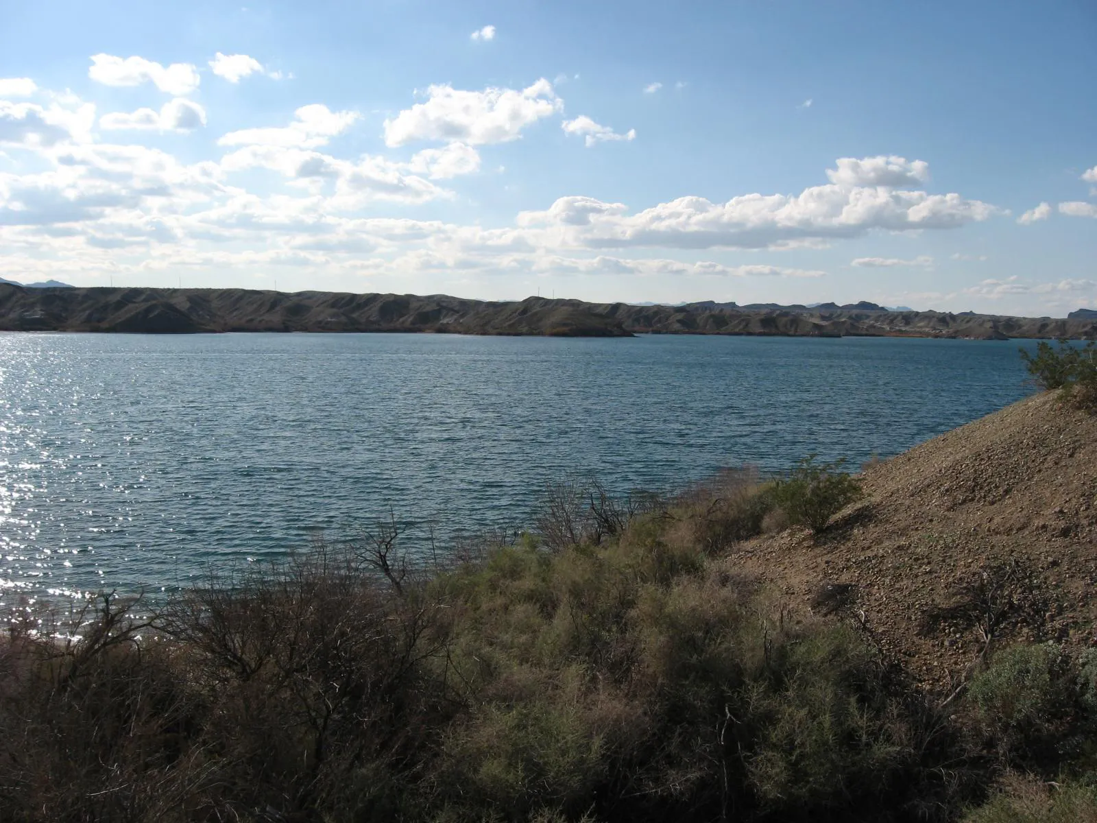
Navigating distinct land and water recreation zones, extreme heat mitigation, and seasonal congestion points in Lake Havasu City.
That is where Adventria comes in. Adventria helps narrow the options in Lake Havasu City around practical factors like location, distance, budget, vibe, who you are with, and the kind of experience you actually want, so research can turn into a decision.
Let Adventria narrow the optionsPick the right part of town
Different parts of Lake Havasu City work for different kinds of plans. Start with the experience you want, then narrow the map.
Best for
Walkable dining, craft breweries, boutique shopping, and late-night social spots.
Best for
Waterfront pedestrian promenades, boat watching, watercraft rentals, and patio dining.
Best for
Resort stays, boat slip dockage, perimeter walking paths, and lake loop views.
Best for
Modern marina facilities, boater access, quiet neighborhood living, and SARA Park proximity.
Best for
Elevated lake views, custom homes, deep toy garages, and desert trail access.
Best for
Big-box retail shopping, national chain dining, and northern regional travel routes.
This is a quick starting point. The full guide covers 7 local neighborhoods and districts in Lake Havasu City.
Eat & drink
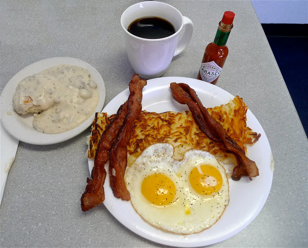
Trying to decide where to eat in Lake Havasu City? Start with the local dining context below and narrow the decision around the kind of meal or experience you actually want.
Decide based on your preferred atmosphere and attire. Head to Downtown along McCulloch Boulevard North for walkable gastropubs, craft breweries, wine bars, and steakhouses where smart-casual dress fits right in. If you prefer dock-and-dine casual waterfront patios overlooking the London Bridge, head to Bridgewater Channel or English Village, where swimsuits and casual wear are welcome.
Still comparing options? Adventria can narrow the choice around budget, distance, vibe, and who you are with.
Decide with AdventriaPlan by situation
Start with the kind of plan you are actually trying to make. These city-specific ideas narrow the choice around who you are with, what you want to spend, the weather, and the kind of outing you want.
For an outdoor plan from Lake Havasu City, compare trails, state parks, national parks within trip range, and scenic drives. Options in the current city guide include Lake Havasu State Park and Cattail Cove State Park.
Plan a late-afternoon boat tour or shoreline walk to view the replica lighthouses around Thompson Bay, followed by waterfront dinner near the channel or craft cocktails along Downtown's McCulloch Boulevard.
Spend mornings at Rotary Community Park, taking advantage of free parking, shade ramadas, three distinct playgrounds, and a non-motorized swim zone. When summer temperatures climb, bring children to the Aquatic Center for the indoor wave pool and pipeline water slide.
When extreme heat exceeding 105°F or sudden monsoon dust storms make outdoors unsafe, head indoors to the air-conditioned Aquatic Center, the Lake Havasu Museum of History, 24/7 indoor golf simulators on McCulloch Blvd, or local bowling and cinema venues.
Explore Rotary Community Park for free beach access and walking paths, skate at Tinnell Memorial Sports Park, hike desert trails in SARA Park, or spot functional scale replica lighthouses along the mainland shoreline without paying entry fees.
For a day trip from Lake Havasu City, compare Prescott and Henderson. More options are listed in the trip section below.
Take an early morning solo hike through SARA's Crack to Balance Rock Cove before temperatures rise. Alternatively, rent a kayak to tour the mainland replica lighthouses or explore regional history exhibits at the Lake Havasu Museum of History.
Outdoors nearby
Use these nearby outdoor options when the plan calls for a trail, protected landscape, park, or drive instead of another indoor stop. Proximity here is geographic, not a promise about driving time.
Get out of town
When staying in town is not the answer, these nearby destinations give you a smaller starting set for a day trip, overnight escape, or weekend away.
Destination relationships are screened geographically. Straight-line proximity is not presented as road mileage or estimated travel time.
Local decision signals
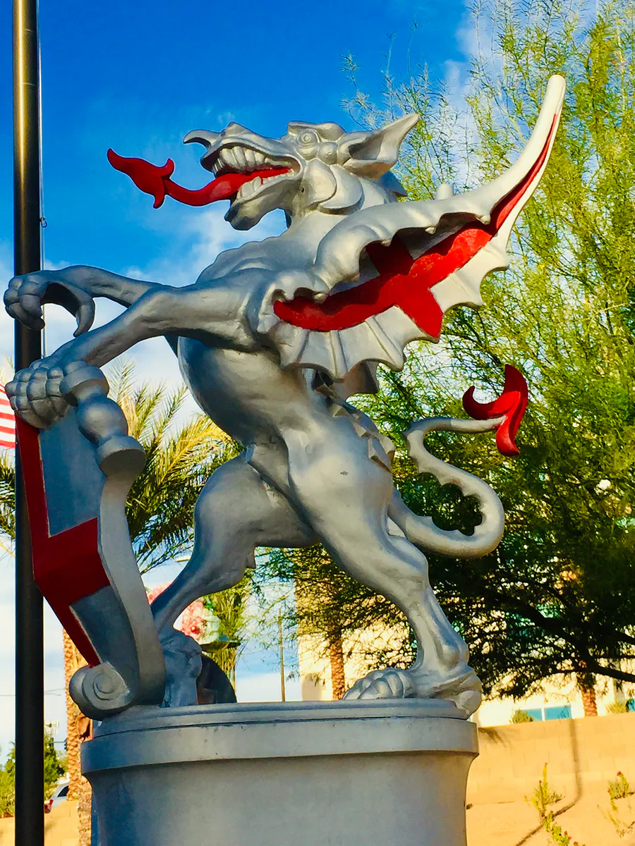
A useful local recommendation depends on how the city actually works. These conditions affect where to go, what to do, and whether a plan makes sense right now.
The 1831 bridge serves as the only terrestrial crossing to The Island. High volume on major holiday weekends and event departures slows movement between the mainland and island.
State Route 95 experiences delays during peak morning launch (7:00 AM–10:00 AM) and evening recovery (4:00 PM–7:00 PM) hours due to boat trailers and RVs moving between launch ramps.
Summer temperatures routinely exceed 105°F, with the state record set at 128°F. Land activities after 8:00 AM become dangerous; shift to early mornings, water recreation, or indoor facilities.
July through September bring sudden haboobs (dust storms), microbursts creating 3-to-5-foot lake waves, and flash floods in wash trails like SARA's Crack.
There is no fixed-route city bus service. LHC DIRECT offers app-based, on-demand curb-to-curb rides for $3.00, complemented by private flat-rate shuttles and the Havasu Landing Ferry.
Over 28 scale replica lighthouses double as navigation aids: mainland replicas feature red flashing beacons (East Coast), while California-side replicas flash green (West Coast).
Neighborhood context
Neighborhoods are not interchangeable. Each area offers a different balance of atmosphere, transportation, food, nightlife, activities, and planning friction.
Best for: Walkable dining, craft breweries, boutique shopping, and late-night social spots.
Centered along McCulloch Boulevard North between Smoketree and Acoma. Offers land-based dining, fine art, cigar lounges, and gastropubs set back from the waterfront traffic.
Best for: Waterfront pedestrian promenades, boat watching, watercraft rentals, and patio dining.
Located directly below the London Bridge. Features open-air walkways, souvenir retail, tour docks, and dock-and-dine outdoor restaurants with immediate channel views.
Best for: Resort stays, boat slip dockage, perimeter walking paths, and lake loop views.
A 400-acre man-made island accessible exclusively via London Bridge. Home to resorts, private marinas, and a paved 3.6-mile perimeter walking trail.
Best for: Modern marina facilities, boater access, quiet neighborhood living, and SARA Park proximity.
Situated south of Thompson Bay. Combines modern lakeside launch ramps and residential homes with easy access to southern hiking trails and racing venues.
Best for: Elevated lake views, custom homes, deep toy garages, and desert trail access.
Spans the eastern slopes rising toward the Mohave Mountains. Characterized by spacious custom properties built to house large boats and off-road vehicles.
Best for: Big-box retail shopping, national chain dining, and northern regional travel routes.
Commercial corridor along northern AZ-95 housing major retail hubs like The Shops at Lake Havasu, Walmart, and suburban dining options.
Best for: Horse properties, multi-acre rural lots, and direct unpaved desert trail entry.
Located on the far northern and northeastern outskirts. Features acreage zoned for equestrian facilities and immediate access to backcountry trails.
Explore your options
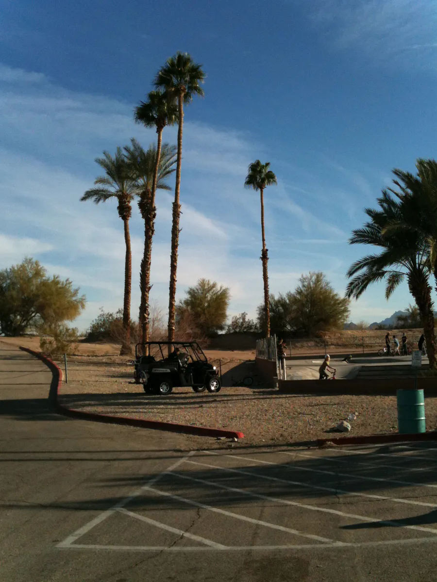
While private vehicles with towing capabilities dominate local transit, several public and private shared-ride options serve key corridors.
Municipal on-demand microtransit operated by Lake Havasu City Transit, offering curb-to-curb shared rides within city limits.
Continuous passenger ferry service connecting the Arizona mainland directly to the California shore across Lake Havasu.
Flat-rate and zoned shuttle operators catering to evening nightlife, dining, and door-to-door trips across town.
Practical local guidance
Lake Havasu City offers distinct public recreation facilities tailored for swimming, motorized launching, hiking, and sports.
A simpler way to decide
When summer temperatures exceed 105°F, structure your day to maximize water time and indoor AC during peak heat.
Complete any hiking at SARA Park or shoreline walking along the Mohave Sunset Trail early in the morning before ground and air temperatures reach unsafe levels.
If launching a boat or renting kayaks at English Village or Lake Havasu State Park, arrive at ramps early to bypass peak trailer queues and calm morning water conditions.
Move off exposed desert land between 10:00 AM and 4:00 PM. Retreat to Rotary Park's buoyed swim beach or enter indoor facilities like the Aquatic Center or Lake Havasu Museum of History.
Watch for sudden summer monsoon haboobs or microbursts, which can rapidly generate 3-to-5-foot waves in open bays like Thompson Bay and decrease visibility.
As temperatures drop after sunset, take the $5.00 Havasu Landing Ferry across the lake or stroll through the walkable Downtown district along McCulloch Boulevard North.
Common local questions
These are common situations people face when trying to decide where to eat, what to do, where to get drinks, or how to spend their time in Lake Havasu City.
Lake Havasu City planning questions
Practical answers for people deciding where to eat, what to do, where to go, or how to make plans in Lake Havasu City.
No, Lake Havasu City does not operate a traditional fixed-route city bus network. Public transportation is provided via LHC DIRECT, an app-based microtransit service offering $3.00 curb-to-curb shared rides, alongside private shuttle operators and the Havasu Landing Ferry.
Lake Havasu State Park charges vehicle entrance fees typically ranging from $20.00 Monday through Thursday to $25.00 Friday through Sunday and holidays. Walk-in and bicycle entry is $5.00.
No, pets are prohibited at Rotary Community Park. Dog owners can visit designated dog parks in the city, such as the dog park facility located within SARA Park.
SARA's Crack (Crack in the Mountain Trail) is a 5-mile loop slot canyon hike located in SARA Park. It is considered moderately difficult, requiring hikers to scramble through narrow metamorphic rock walls and climb down a 7-foot dry waterfall drop.
Havasu 95 Speedway operates its stock car racing season exclusively during the cooler months of the year, running from September through May at SARA Park.
The Lake Havasu Lighthouse Club built over 28 scale replica lighthouses to serve as functional navigational aids for boaters. Flashing red beacons signal mainland Arizona locations, green beacons signal California shores, and island lighthouses mirror Great Lakes designs.
Lake Havasu City holds the record for Arizona's highest official temperature ever recorded: 128°F, set on June 29, 1994.
Alcohol is prohibited at Rotary Community Park unless a specific municipal group permit has been formally approved by the city.
The Island is connected to the mainland strictly via the historic London Bridge. Driving across London Bridge Road is the sole terrestrial access route.
No, ASU officially closed its Lake Havasu satellite location on May 15, 2025. Higher education in the area is anchored by Mohave Community College.
Source transparency
Official and locally relevant sources used to verify the practical information presented in this Lake Havasu City decision guide.
Lake Havasu City decision engine
Tell Adventria what kind of experience you want, set your practical limits, and turn the options in Lake Havasu City into one workable plan.
Choose a Lake Havasu City Plan