Downtown Phoenix (DTPHX)
Best for
Urban exploration, craft cocktails, visual arts, and transit connectivity.
 AdventriaLocalOpen App
The Valley Decision Framework
Trying to decide what to do in Phoenix? Adventria helps you cut through the options and choose a good-enough plan without endless scrolling. Whether you are deciding where to eat along Roosevelt Row, looking for early morning trails before heat closures, or mapping out a rain-or-shine itinerary across the Valley grid, this guide helps you solve local timing and distance friction.
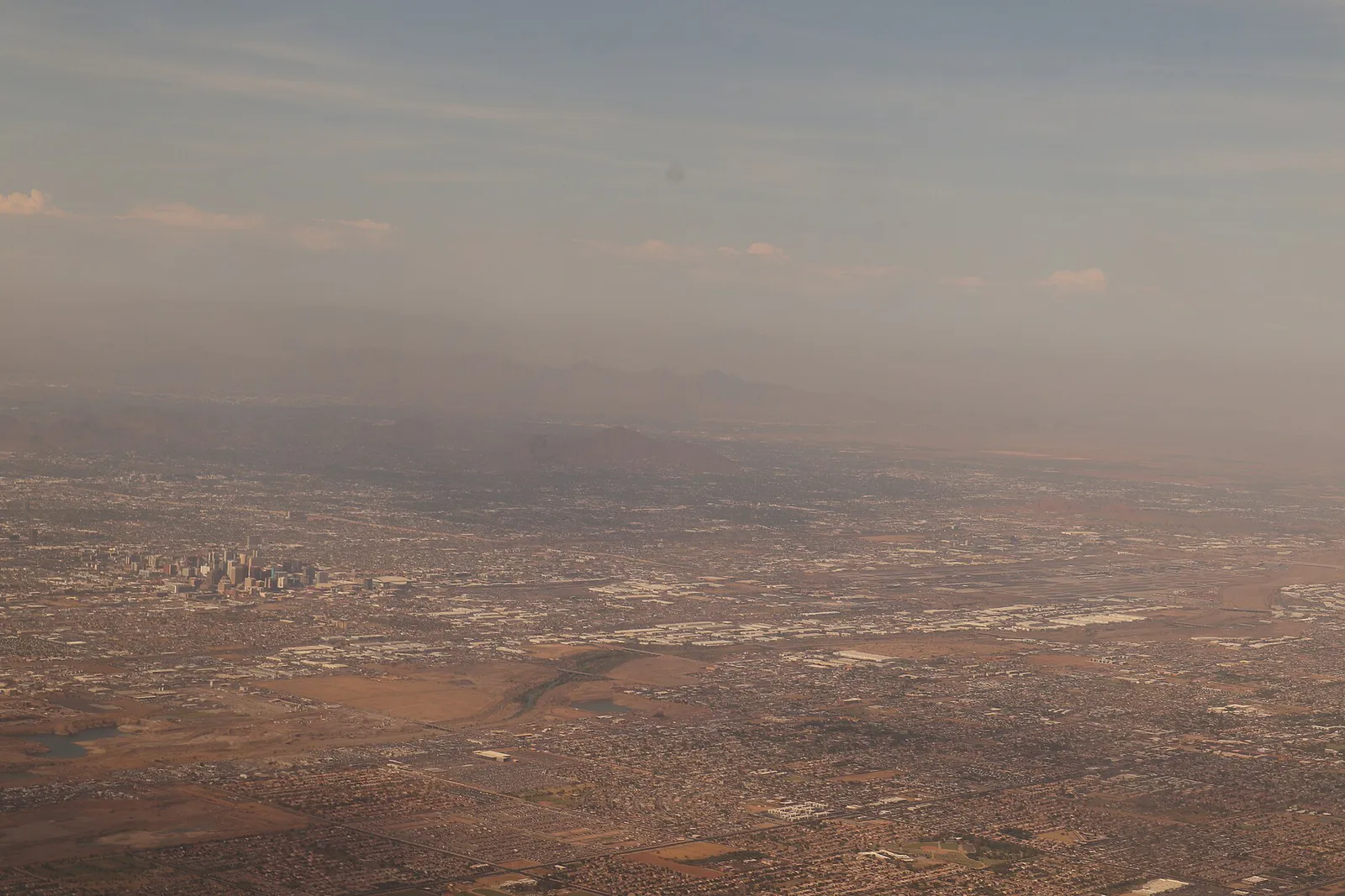
The local decision problem
Navigating extreme seasonal weather, massive geographical sprawl, and distributed district hubs across the Valley of the Sun.
That is where Adventria comes in. Adventria helps narrow the options in Phoenix around practical factors like location, distance, budget, vibe, who you are with, and the kind of experience you actually want, so research can turn into a decision.
Let Adventria narrow the optionsPick the right part of town
Different parts of Phoenix work for different kinds of plans. Start with the experience you want, then narrow the map.
Best for
Urban exploration, craft cocktails, visual arts, and transit connectivity.
Best for
Walkable dining, First Friday art walks, and casual nightlife.
Best for
Eclectic art, dive bars, tiki lounges, and after-hours pizza.
Best for
Vintage shopping, museum visits, and inclusive neighborhood bars.
Best for
Upscale patio dining, resort retreats, and canal biking.
Best for
Family outings, indoor museums, and high-density dining corridors.
This is a quick starting point. The full guide covers 7 local neighborhoods and districts in Phoenix.
Eat & drink
When the decision is less about what to do and more about where to eat or grab a drink, start here. These local cues narrow the food and drink decision without turning dinner or a night out into another hour of comparison.
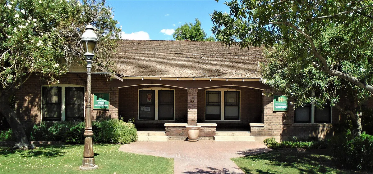
Head to Roosevelt Row and visit open-seating food halls like The Churchill, or drop by Cibo in Downtown Phoenix for wood-fired pizza in a historic bungalow setting. Alternatively, explore Historic Grand Avenue for open-frame tacos or late-night slices, where neighborhood joints keep open tables without requiring long reservation lead times.
Check out live jazz at The Nash on Roosevelt Row, or head underground to Valley Bar in Downtown Phoenix for music and cocktails. If you prefer a neighborhood vibe, explore the retro lounges and pubs along 7th Avenue in the Melrose District or historic dive bars on Grand Avenue.
Still comparing options? Adventria can narrow the choice around budget, distance, vibe, and who you are with.
Decide with AdventriaPlan by situation
Start with the kind of plan you are actually trying to make. These city-specific ideas narrow the choice around who you are with, what you want to spend, the weather, and the kind of outing you want.
Start with a short walk up Hole-in-the-Rock at Papago Park or a drink overlooking the city at Wrigley Mansion during golden hour. Transition to Central Phoenix for wood-fired Italian or contemporary Sonoran wood-grilled dishes, then finish with cocktails at Bar Bianco or a subterranean drink at Valley Bar.
Spend the heat of the day at the Arizona Science Center and the adjacent Children's Museum of Phoenix in Heritage Square, both offering interactive indoor play zones. For outdoor morning walks, visit the paved, stroller-friendly loops at the Desert Botanical Garden before midday heat builds.
Utilize an Act One Culture Pass from the Phoenix Public Library for free museum access for two adults. Take a self-guided mural walk through Roosevelt Row, enjoy zero-cost entry and parking at South Mountain Park or Papago Park, and visit the Phoenix Art Museum during Wednesday evening pay-what-you-wish hours.
Board the Valley Metro Light Rail along Central Avenue to easily hop between arts, dining, and culture hubs. Stop in Downtown Phoenix to tour Roosevelt Row's street art, visit the Heard Museum in Midtown, or continue east to ASU's main campus and Tempe Town Lake without needing a rental car.
For an outdoor plan from Phoenix, compare trails, state parks, national parks within trip range, and scenic drives. Options in the current city guide include McFarland State Historic Park and Fort Verde State Historic Park.
For a short escape from Phoenix, compare Casa Grande and Prescott. More options are listed in the trip section below.
Outdoors nearby
Use these nearby outdoor options when the plan calls for a trail, protected landscape, park, or drive instead of another indoor stop. Proximity here is geographic, not a promise about driving time.
Get out of town
When staying in town is not the answer, these nearby destinations give you a smaller starting set for a day trip, overnight escape, or weekend away.
Destination relationships are screened geographically. Straight-line proximity is not presented as road mileage or estimated travel time.
Local landmarks & attractions
These notable destinations offer a starting point when you want something specific to see, visit, or build into a day around Phoenix. Distances are approximate from the city area.
arena in Phoenix, Arizona, United States
state capitol building of the U.S. state of Arizona
Non-profit zoo in the United States, opened 1962
amusement park in Phoenix, Arizona, United States
indoor arena in Arizona, USA
art museum in Phoenix, Arizona
non-profit organization in Arizona, USA
indoor multi-purpose entertainment arena located in Glendale, Arizona, USA
Notable places are selected from structured public destination data and ranked for relevance, prominence, proximity, and variety.
Local decision signals
A useful local recommendation depends on how the city actually works. These conditions affect where to go, what to do, and whether a plan makes sense right now.
Central Avenue splits East Streets from West Avenues every mile, with Washington Street dividing North and South.
City trails close from 8 AM to 5 PM under NWS Extreme Heat Warnings, and dogs are legally banned on trails when temps hit 100°F.
Driving across the Valley can take 40 to 90 minutes; grouping activities along specific freeway loops (I-10, Loop 101, SR-51) is critical.
July through September storms bring sudden haboobs (dust storms) and flash floods that require immediate indoor shifts.
Fully driverless Waymo vehicles operate extensively across surface streets and freeways, offering efficient point-to-point transit.
Phoenix Public Library cardholders can obtain free general admission passes for two adults to top Valley museums.
Anchor institutions like Pizzeria Bianco established Phoenix as an unlikely national hub for artisanal wood-fired pizza.
Neighborhood context
Neighborhoods are not interchangeable. Each area offers a different balance of atmosphere, transportation, food, nightlife, activities, and planning friction.
Best for: Urban exploration, craft cocktails, visual arts, and transit connectivity.
The dense core bounded roughly by McDowell and Buckeye Roads. Features sports arenas, cultural venues, Heritage Square, and the main light rail line.
Best for: Walkable dining, First Friday art walks, and casual nightlife.
Centered on Roosevelt Street, famous for shipping container complexes, street murals, independent galleries, and patio craft breweries.
Best for: Eclectic art, dive bars, tiki lounges, and after-hours pizza.
A diagonal cut through the street grid known for a counter-culture vibe, historic brick buildings, vintage shops, and late-night eats.
Best for: Vintage shopping, museum visits, and inclusive neighborhood bars.
Stretches north along Central Avenue and 7th Avenue. Home to major art museums, historic residential pockets, and the city's primary LGBTQ+ district.
Best for: Upscale patio dining, resort retreats, and canal biking.
Positioned near Camelback Mountain with historic citrus grove roots, modern farmhouses, high-end shopping centers, and luxury resorts.
Best for: Family outings, indoor museums, and high-density dining corridors.
A master-planned North Valley neighborhood near Loop 101, home to large resort properties and the world-renowned Musical Instrument Museum.
Best for: Scenic drives, panoramic sunset views, and desert hiking.
Anchored by South Mountain Park and Preserve, featuring expansive wilderness, Native American petroglyphs, and panoramic overlooks.
Phoenix local guide
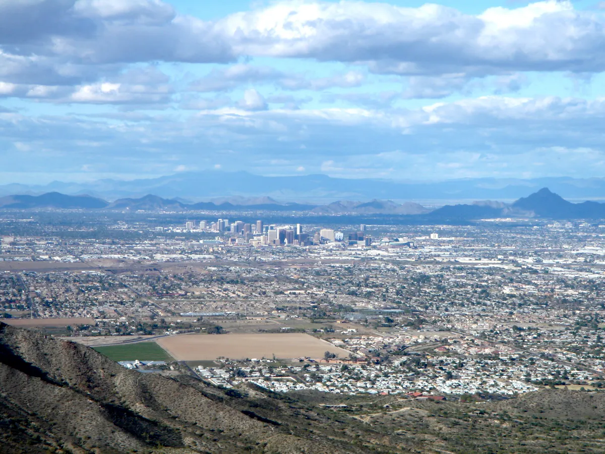
Phoenix spans over 500 square miles, but its street orientation follows a predictable 1-mile grid system. Central Avenue serves as the east-west bisector: streets run to the east (1st Street, 7th Street, 24th Street) and avenues run to the west (1st Avenue, 7th Avenue, 43rd Avenue). Major arterial cross-streets occur every mile, with Washington Street functioning as the zero point for north-south address numbering.
Despite this logical grid, pure distance creates travel friction across Maricopa County. Crossing from the West Valley to East Valley hubs like Scottsdale or Tempe routinely takes 40 to 60 minutes off-peak and upwards of 90 minutes during morning and afternoon commute hours. Key freeways include I-10 (connecting West Valley, Downtown, and East Valley), I-17 (heading north), Loop 101, Loop 202, and State Route 51.
To minimize driving strain, group activities geographically or take advantage of modern local transit. Valley Metro Rail offers convenient access along the Northwest Phoenix, Central Avenue, Downtown, and Tempe corridor. Autonomous driverless rideshare options through Waymo operate extensively on both surface streets and freeway corridors across Phoenix, providing direct point-to-point transit.
Explore your options
Phoenix dining is globally recognized for its Sonoran Desert heritage, Indigenous culinary traditions, and world-class wood-fired pizza.
Distinct regional dishes shaped by the Sonoran Desert borderlands and Native American traditions.
An internationally acclaimed pizza culture pioneered by local culinary icons.
Flexible, high-density spots ideal for casual groups and late-night cravings.
Practical local guidance
Phoenix enforces strict safety ordinances and operational policies to prevent heat-related emergencies during hot desert months.
A simpler way to decide
To avoid spending hours in highway traffic, structure your day by grouping geographically aligned districts and adjusting for heat constraints.
Head to Papago Park for Hole-in-the-Rock or South Mountain Park at sunrise to enjoy cool temperatures and views before heat builds.
Move indoors between 11:00 AM and 3:00 PM by visiting climate-controlled institutions like the Musical Instrument Museum (MIM), Heard Museum, or Phoenix Art Museum.
Park your vehicle or ride Valley Metro Rail to Roosevelt Row or Historic Grand Avenue to browse local galleries, vintage shops, and boutiques on foot.
Grab an early dinner showcasing mesquite-grilled meats, authentic Sonoran hot dogs, or wood-fired pizza in Central Phoenix.
Wrap up your night with live jazz at The Nash, drinks at a subterranean speakeasy, or an evening stroll during a monthly First Friday art walk.
Common local questions
These are common situations people face when trying to decide where to eat, what to do, where to get drinks, or how to spend their time in Phoenix.
Phoenix planning questions
Practical answers for people deciding where to eat, what to do, where to go, or how to make plans in Phoenix.
Phoenix uses a 1-mile grid system centered on Central Avenue (which divides east Streets from west Avenues) and Washington Street (which divides north and south numbers). Major arterial roads occur every mile.
No. City of Phoenix ordinance strictly bans dogs on all public hiking trails when ambient temperatures reach 100°F or higher to protect animals from fatal heat exposure.
Valley Metro Rail is excellent for traveling along the Central Avenue corridor between Northwest Phoenix, Downtown, Tempe, and ASU. However, reaching outer areas like North Phoenix, Desert Ridge, or South Mountain requires a car, rideshare, or Waymo.
Phoenix Public Library cardholders can check out an Act One Culture Pass at library branches, which provides free general admission for two adults to top venues like the Heard Museum, Phoenix Art Museum, and Desert Botanical Garden.
On Excessive Heat Warning days, Camelback Mountain (Echo Canyon and Cholla trails) and Piestewa Peak (Summit Trail) automatically close to hikers between 8:00 AM and 5:00 PM.
A Sonoran hot dog is a bacon-wrapped grilled hot dog served in a soft bolillo bun, topped with pinto beans, grilled onions, tomatoes, jalapeno sauce, and mayonnaise. You can find them at local stands and eateries throughout the Valley.
Downtown Tempe is about 15–20 minutes east via light rail or surface streets. Old Town Scottsdale is about 20–30 minutes northeast by car, though heavy traffic during peak hours can extend travel times.
Top climate-controlled options include the Musical Instrument Museum (MIM), Phoenix Art Museum, Heard Museum, Arizona Science Center, and indoor interactive art venues.
October through April offers mild, dry weather with daily highs in the 60s to 80s, making it ideal for hiking, outdoor dining, and mountain sightseeing.
Source transparency
Official and locally relevant sources used to verify the practical information presented in this Phoenix decision guide.
Phoenix decision engine
Tell Adventria what kind of experience you want, set your practical limits, and turn the options in Phoenix into one workable plan.
Choose a Phoenix Plan