Fairbourne Station (Downtown TOD Hub)
Best for
Transit commuters, hotel visitors, civic access, and walkable dining.
 AdventriaLocalOpen App
Local Decision Guide
Trying to decide what to do in West Valley City? Adventria helps you cut through the options and choose a good-enough plan without endless scrolling. Whether you are catching a concert at Utah First Credit Union Amphitheatre, riding the TRAX Green Line from Fairbourne Station, or sampling international cuisine along 3500 South, this guide helps you navigate West Valley City's practical logistics and local districts.
The local decision problem
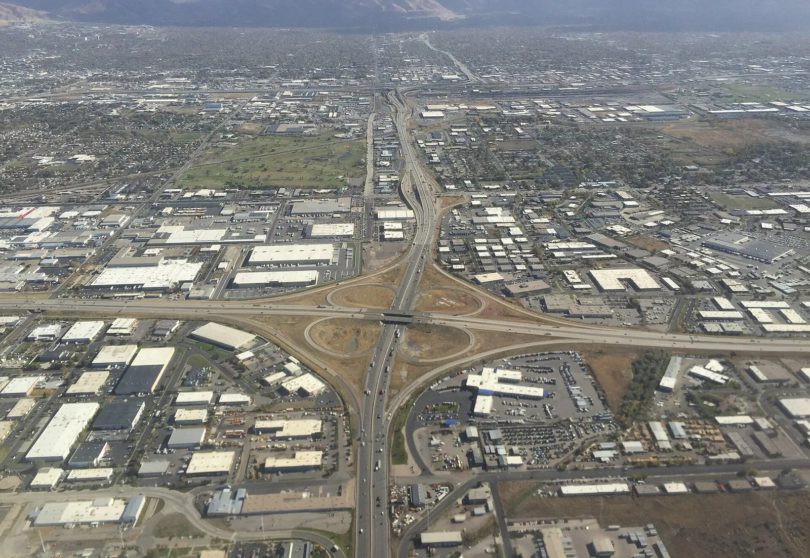
How to navigate West Valley City's distinct districts, venue traffic, seasonal weather factors, and local transit to choose where to eat, stay, and play.
That is where Adventria comes in. Adventria helps narrow the options in West Valley City around practical factors like location, distance, budget, vibe, who you are with, and the kind of experience you actually want, so research can turn into a decision.
Let Adventria narrow the optionsPick the right part of town
Different parts of West Valley City work for different kinds of plans. Start with the experience you want, then narrow the map.
Best for
Transit commuters, hotel visitors, civic access, and walkable dining.
Best for
Hockey games, arena concerts, corporate visits, and wetland walks.
Best for
Central shopping, family dining, and mid-century suburban history.
Best for
Family recreation, indoor ice skating, outdoor sports, and large parks.
Best for
Historic trail access and light industrial border zones.
Best for
Authentic Hispanic supermarkets, street food, and retail corridors.
Eat & drink
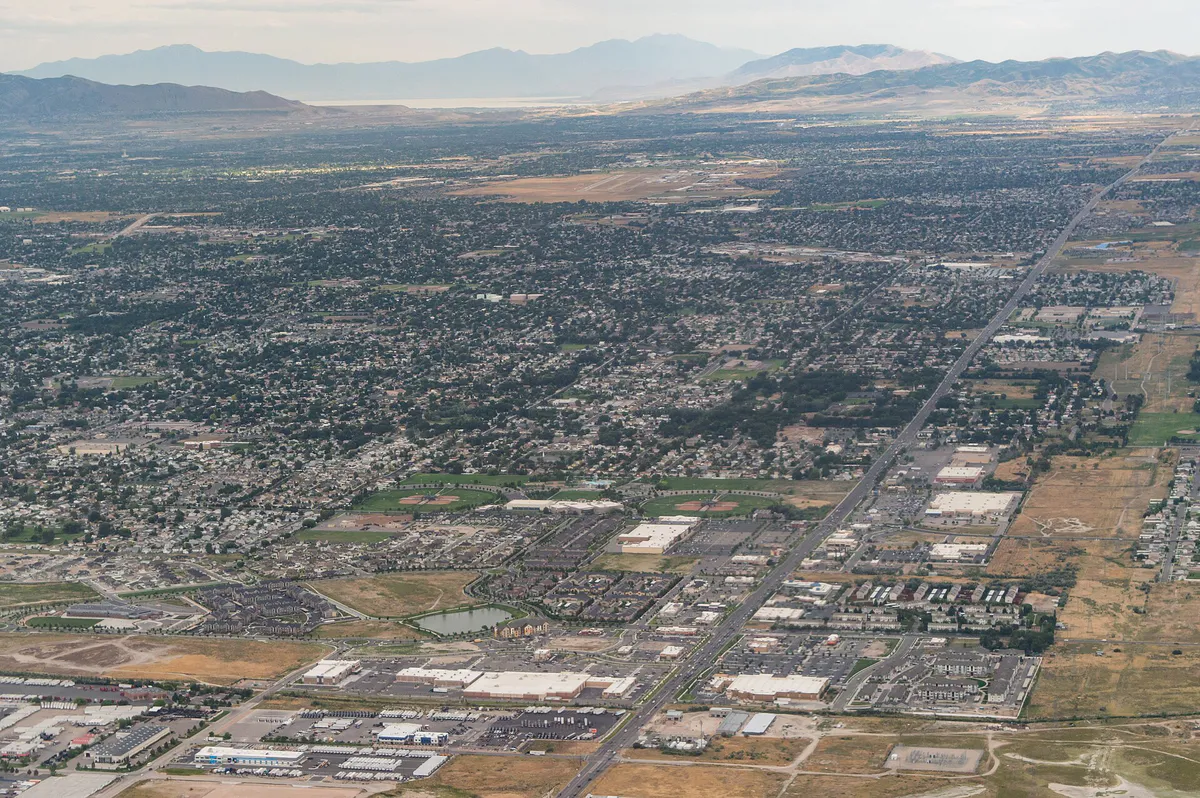
When the decision is less about what to do and more about where to eat or grab a drink, start here. These local cues narrow the food and drink decision without turning dinner or a night out into another hour of comparison.
Head to 5600 West for birria tacos and traditional molcajetes at La Casa Del Tamal, or visit Cafe Silvestre near Constitution Boulevard for Hatch green chile. For quick options, explore internal market kitchens like Rancho Markets on Redwood Road for carnitas, or stop by Polynesian markets near 3500 South and 4800 West for hot lunch plates.
Catch a Utah Grizzlies hockey game or arena concert at Maverik Center. Alternatively, spend an evening at Valley Fair Mall enjoying IMAX movies in luxury recliners at Megaplex Theatres or bowling and drinks at Pins & Ales.
Still comparing options? Adventria can narrow the choice around budget, distance, vibe, and who you are with.
Decide with AdventriaPlan by situation
Start with the kind of plan you are actually trying to make. These city-specific ideas narrow the choice around who you are with, what you want to spend, the weather, and the kind of outing you want.
Enjoy authentic Mexican dining at La Casa Del Tamal or Cafe Silvestre, followed by a sunset walk around Decker Lake or an evening of bowling, arcade games, and pub dining at Pins & Ales.
Visit the West Valley Family Fitness Center to use the leisure pool and Utah's tallest indoor water slide. For outdoor play, explore Lodestone Park's mining-themed playgrounds, zip lines, and splash pads, or take the family to ice skate at Acord Ice Arena.
Access to the Utah Cultural Celebration Center Plaza Gallery is free, as are the playgrounds, splash pads, and walking paths at Lodestone Park and Centennial Park. On summer Thursday evenings, visit the West Valley Farmers Market at Centennial Park.
Cycle or jog along the paved Jordan River Parkway Trail on the city's eastern edge, browse the self-guided art exhibitions at the Utah Cultural Celebration Center Plaza Gallery, or hop on the TRAX Green Line for seamless transit into Salt Lake City.
For an outdoor plan from West Valley City, compare trails, state parks, national parks within trip range, and scenic drives. Options in the current city guide include Utah State Fair Park and Jordan River Golf Course State Park.
When winter inversion air quality spikes or rain hits, stay active inside the 96,000-square-foot West Valley Family Fitness Center, ice skate at Acord Ice Arena, or catch a movie at Megaplex Theatres.
Reserve a picnic pavilion at Centennial Park for large outdoor gatherings, book a corporate party suite at Maverik Center for arena events, or plan a golf outing at Stonebridge Golf Club's 27-hole course.
Outdoors nearby
Use these nearby outdoor options when the plan calls for a trail, protected landscape, park, or drive instead of another indoor stop. Proximity here is geographic, not a promise about driving time.
Get out of town
When staying in town is not the answer, these nearby destinations give you a smaller starting set for a day trip, overnight escape, or weekend away.
Destination relationships are screened geographically. Straight-line proximity is not presented as road mileage or estimated travel time.
Local landmarks & attractions
These notable destinations offer a starting point when you want something specific to see, visit, or build into a day around West Valley City. Distances are approximate from the city area.
indoor arena in Salt Lake City, Utah, United States
state capitol building of Utah, United States
religious museum in Utah, United States
zoo in Salt Lake City, Utah, United States
amusement park in Farmington, Utah, United States
planetarium located at the Gateway Mall in Salt Lake City, Utah, United States
football stadium at the University of Utah in Salt Lake City, Utah, US
museum in Salt Lake City, Utah, United States
Notable places are selected from structured public destination data and ranked for relevance, prominence, proximity, and variety.
Local decision signals
A useful local recommendation depends on how the city actually works. These conditions affect where to go, what to do, and whether a plan makes sense right now.
High atmospheric pressure traps PM2.5 particulates in the Salt Lake Valley between December and February, raising AQI levels and shifting exercise indoors.
Major summer shows at Utah First Credit Union Amphitheatre create severe gridlock on 5600 West, making Mountain View Corridor (SR-85) or Bangerter Highway (SR-154) the necessary bypasses.
While many sit-down establishments operate on reduced Sunday hours, Pacific Islander market kitchens prepare traditional hot meals early on Sunday mornings, selling out fast.
West Valley Central Station at Fairbourne Station provides continuous light rail access directly to Downtown Salt Lake City and Salt Lake City International Airport.
Utah Grizzlies hockey games and arena shows at Maverik Center generate localized delays along Decker Lake Drive and the 3500 South I-215 interchanges.
Authentic Mexican eateries and food markets are heavily concentrated along Redwood Road and 3500 South, while Polynesian markets cluster along 3500 South and 4800 West.
Neighborhood context
Neighborhoods are not interchangeable. Each area offers a different balance of atmosphere, transportation, food, nightlife, activities, and planning friction.
Best for: Transit commuters, hotel visitors, civic access, and walkable dining.
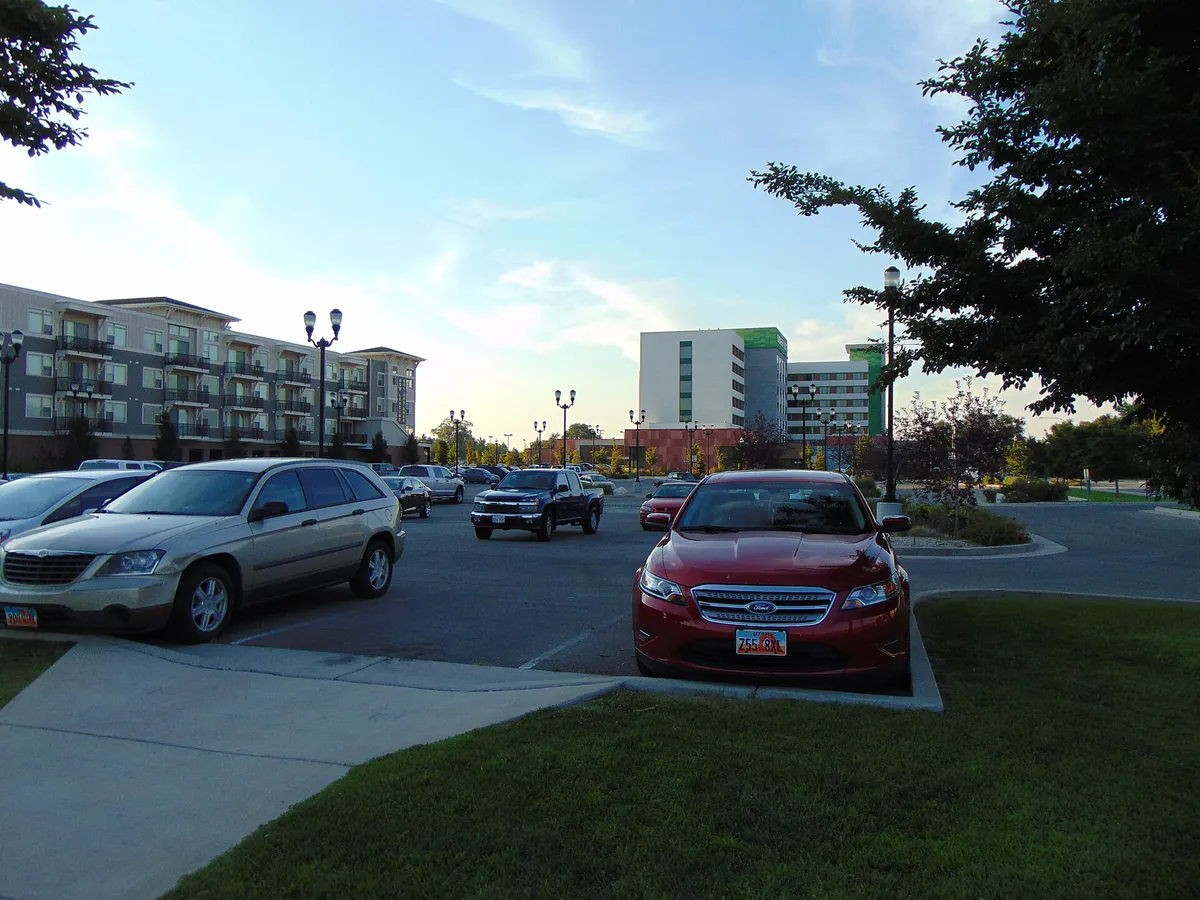
A 40-acre master-planned downtown district anchored by City Hall, Embassy Suites, the West Valley Central TRAX station, and office space adjacent to Valley Fair Mall.
Best for: Hockey games, arena concerts, corporate visits, and wetland walks.
An employment and entertainment district home to Maverik Center, Stonebridge Golf Club, corporate campuses, and the Decker Lake wetland loop trail.
Best for: Central shopping, family dining, and mid-century suburban history.
The city's central-eastern commercial and residential heart along 3500 South, anchored by Valley Fair Mall, Granger High School, and diverse local eateries.
Best for: Family recreation, indoor ice skating, outdoor sports, and large parks.
A sprawling residential district in the western suburbs featuring Centennial Park, West Valley Family Fitness Center, Acord Ice Arena, and The Ridge Golf Club.
Best for: Historic trail access and light industrial border zones.
Situated in the far northeast corner near 2100 South and the Jordan River, offering proximity to the Jordan River Parkway Trail and post-WWII housing pockets.
Best for: Authentic Hispanic supermarkets, street food, and retail corridors.
A high-density commercial corridor along the eastern edge of the city, known for authentic food markets, taquerias, and light industrial commercial services.
West Valley City local guide
Incorporated in 1980 by joining four agricultural and suburban communities—Granger, Hunter, Chesterfield, and Redwood—West Valley City spans nearly 36 square miles in northern Salt Lake County. The city is structured around major arterial grid lines and transit hubs, with 3500 South serving as the primary east-west commercial spine.
Travel dynamics vary significantly between the transit-oriented downtown core and the western suburban developments. Fairbourne Station and Decker Lake benefit from direct UTA TRAX light rail service on the Green Line, connecting seamlessly to Downtown Salt Lake City and the airport. Meanwhile, sprawling western neighborhoods like Hunter depend heavily on vehicle travel via high-speed corridors like Bangerter Highway (SR-154) and Mountain View Corridor (SR-85).
Planning an efficient trip through West Valley City requires accounting for regional event patterns. Large venues generate distinct localized traffic surges, while winter inversion weather shifts community life from outdoor regional trails to expansive indoor recreation centers.
Explore your options
Match your activity plans to the district that offers the right combination of transit, entertainment, and recreation.
The urban core of West Valley City, featuring civic infrastructure, transit access, and adjacent retail hubs.
The primary arena and corporate hub set against wetland nature trails.
An expansive suburban district focused on sports, parks, and health facilities.
Practical local guidance
Avoid common local delays and friction points by keeping these factual operational dynamics in mind.
A simpler way to decide
Follow these steps to navigate around major 20,000-capacity event traffic along 5600 West.
Verify whether a concert is scheduled at Utah First Credit Union Amphitheatre before heading toward western West Valley City.
If you are not attending the show, bypass 5600 West entirely by using Mountain View Corridor (SR-85) to the west or Bangerter Highway (SR-154) to the east.
If dining near 5600 West or 3500 South on show nights, plan to arrive well before pre-concert crowd rushes peak.
If attending the concert, follow official Live Nation parking and entry guidelines and expect heavy traffic on 5400 South and 4700 South post-show.
Use local navigation apps to check for unexpected signal delays along 5600 West during major venue egress windows.
Common local questions
These are common situations people face when trying to decide where to eat, what to do, where to get drinks, or how to spend their time in West Valley City.
West Valley City planning questions
Practical answers for people deciding where to eat, what to do, where to go, or how to make plans in West Valley City.
Take the UTA TRAX Green Line (Route 704) directly from Salt Lake City International Airport to the West Valley Central Station terminus at Fairbourne Station.
High concentrations of authentic Mexican dining, including taquerias, birria specialists like La Casa Del Tamal, and hot food counters inside Rancho Markets, are located along Redwood Road and 3500 South.
Avoid driving along 5600 West during major concert nights by taking alternate north-south routes like Mountain View Corridor (SR-85) or Bangerter Highway (SR-154).
Indoor options include the 96,000-square-foot West Valley Family Fitness Center (featuring pools, a climbing wall, and indoor track), Acord Ice Arena, Megaplex Theatres at Valley Fair Mall, and Pins & Ales.
Yes, the 1.3-mile paved loop trail around Decker Lake and the paved Jordan River Parkway Trail along the eastern boundary are free and open for public recreation.
UTA provides a free Park and Ride lot at West Valley Central Station, but parking is strictly restricted to active transit riders.
Establishments like S&W Polynesian Market and Simply Lava Polynesian Mart near 3500 South and 4800 West offer traditional cooked food plates, particularly on Sunday mornings.
The Utah Grizzlies professional ice hockey team (ECHL) plays home games at the Maverik Center from October through April.
The Utah Cultural Celebration Center is located along the Jordan River near 3100 South, offering gallery exhibits, outdoor amphitheater events, and festival grounds.
Centennial Park offers softball fields, soccer fields, picnic pavilions, a 1.3-mile jogging track, an outdoor pool, and access to the West Valley Family Fitness Center.
Source transparency
Official and locally relevant sources used to verify the practical information presented in this West Valley City decision guide.
West Valley City decision engine
Tell Adventria what kind of experience you want, set your practical limits, and turn the options in West Valley City into one workable plan.
Choose a West Valley City Plan