Central Beaverton & The Round
Best for
Walkable dining, arts events, food carts, and rail transit access.
 AdventriaLocalOpen App
Local Decision Guide
Trying to decide what to do in Beaverton? Adventria helps you cut through the options and choose a good-enough plan without endless scrolling. A practical local decision guide to navigating Beaverton's distinct commercial districts, transit friction points, culinary hubs, and special park district rules.
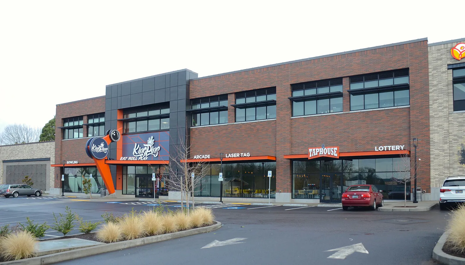
The local decision problem
Navigating local transit bottlenecks, district parking rules, park district policies, and culinary nodes to plan seamless days in Beaverton.
That is where Adventria comes in. Adventria helps narrow the options in Beaverton around practical factors like location, distance, budget, vibe, who you are with, and the kind of experience you actually want, so research can turn into a decision.
Let Adventria narrow the optionsPick the right part of town
Different parts of Beaverton work for different kinds of plans. Start with the experience you want, then narrow the map.
Best for
Walkable dining, arts events, food carts, and rail transit access.
Best for
Retail shopping, movie theaters, fast-casual dining, and easy highway connections.
Best for
Corporate facilities, light industrial campuses, and major regional sports complexes.
Best for
Outdoor trail recreation, natural wetlands, and diverse strip dining.
Best for
Scenic valley views, peaceful residential streets, and neighborhood shopping centers.
Best for
Modern multi-use developments, new neighborhood parks, and nature trail access.
This is a quick starting point. The full guide covers 7 local neighborhoods and districts in Beaverton.
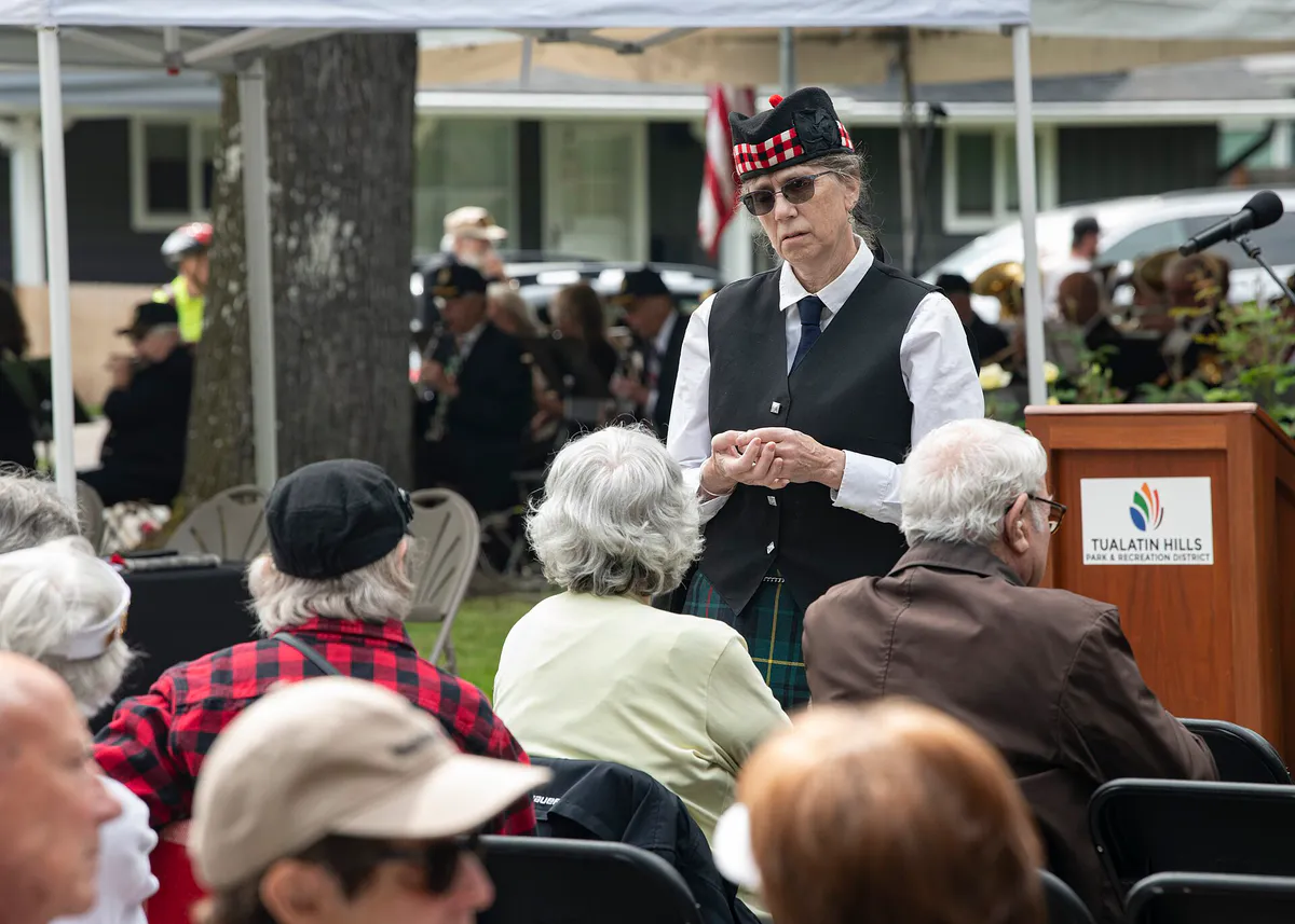
Eat & drink
When the decision is less about what to do and more about where to eat or grab a drink, start here. These local cues narrow the food and drink decision without turning dinner or a night out into another hour of comparison.
For places to eat in Beaverton, start with Central Beaverton & The Round or Cedar Hills / Raleigh West depending on the kind of stop you want. Start with Central Beaverton & The Round for walkable dining, arts events, food carts, and rail transit access.. The civic and urban commercial heart featuring SW Broadway dining, Beaverton Central MAX station, City Hall, BG Food Cartel, and Patricia Reser Center for the Arts. Cedar Hills / Raleigh West works for retail shopping, movie theaters, fast-casual dining, and easy highway connections..
Catch a performance or tour the public gallery at Patricia Reser Center for the Arts in Central Beaverton. Afterwards, explore craft taprooms along SW Broadway or visit local whiskey and bourbon lounges that remain open late into the evening.
Still comparing options? Adventria can narrow the choice around budget, distance, vibe, and who you are with.
Decide with AdventriaPlan by situation
Start with the kind of plan you are actually trying to make. These city-specific ideas narrow the choice around who you are with, what you want to spend, the weather, and the kind of outing you want.
For an outdoor plan from Beaverton, compare trails, state parks, national parks within trip range, and scenic drives. Options in the current city guide include South Waterfront Dog Park and State Park & Rec Dept 1.
Combine a pre-show dinner on SW Broadway at a French or Italian bistro with tickets for a concert or play at The Reser. Finish the evening with a craft cocktail or post-theater drink in Downtown Beaverton.
Visit the climate-controlled Art Gallery at The Reser, drop into the DAM Makerspace at Beaverton Main Library, or schedule indoor recreation and open swimming at THPRD's Conestoga Recreation & Aquatic Center.
Spend quiet hours reading or working at Beaverton City Library Main Branch, or drop into the second-floor DAM Makerspace to use 3D printers and sewing tools. For outdoor solitude, walk the quiet trails of Tualatin Hills Nature Park or loop Commonwealth Lake.
BG Food Cartel solves varied group food preferences with 30+ vendor choices, shared covered outdoor seating, and an on-site taproom. For indoor group drinks, choose spacious craft taprooms along SW Broadway or near Cedar Hills Crossing.
Pair a morning in the youth room at Beaverton City Library with outdoor play at Beaverton City Park's playground and seasonal splash fountain. For natural play, visit the nature-inspired playground at Cooper Mountain Nature Park.
Explore over 200 acres of forest and wetlands at Tualatin Hills Nature Park or enjoy panoramic Tualatin Valley views at Cooper Mountain Nature Park, both offering free admission. You can also tour downtown outdoor murals on a self-guided walk.
Outdoors nearby
Use these nearby outdoor options when the plan calls for a trail, protected landscape, park, or drive instead of another indoor stop. Proximity here is geographic, not a promise about driving time.
Get out of town
When staying in town is not the answer, these nearby destinations give you a smaller starting set for a day trip, overnight escape, or weekend away.
Destination relationships are screened geographically. Straight-line proximity is not presented as road mileage or estimated travel time.
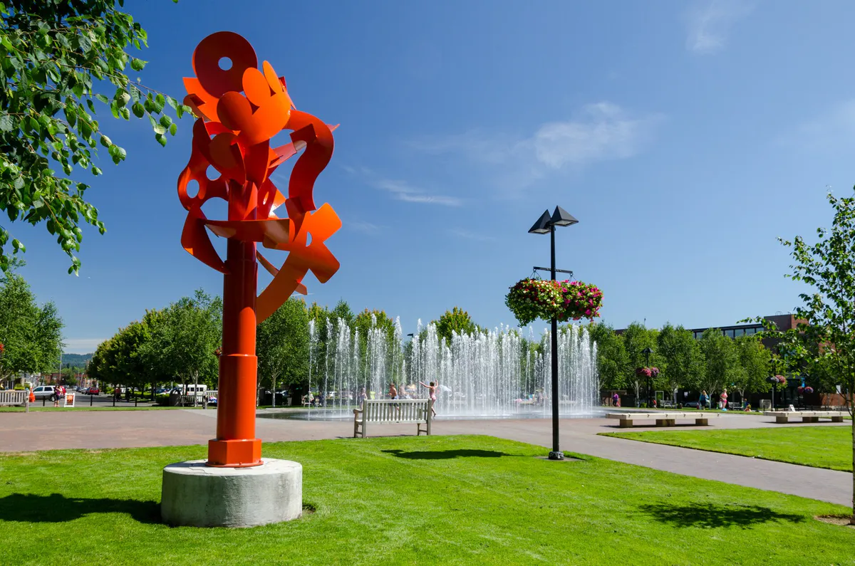
Local landmarks & attractions
These notable destinations offer a starting point when you want something specific to see, visit, or build into a day around Beaverton. Distances are approximate from the city area.
art museum in Portland, Oregon
zoo in the United States
sports arena in Portland, Oregon, USA
amusement park in Portland, Oregon, United States
historic theater building and performing arts center in Portland, Oregon, United States
miniature city park in downtown Portland, Oregon, United States
botanical garden in Portland, Oregon, U.S.
historic house museum in Portland, Oregon, USA
Notable places are selected from structured public destination data and ranked for relevance, prominence, proximity, and variety.
Local decision signals
A useful local recommendation depends on how the city actually works. These conditions affect where to go, what to do, and whether a plan makes sense right now.
Both Tualatin Hills Nature Park and Cooper Mountain Nature Park strictly prohibit dogs and all domestic pets to preserve native habitats.
Infrastructure upgrades added 5 miles of ramp-to-ramp auxiliary lanes and a new southbound frontage road between Allen Blvd and Denney Rd to reduce merging friction.
The US 26 Sylvan grade funnels traffic into the Robertson Tunnel, making MAX Light Rail a faster alternative into Portland during peak commute hours.
Tualatin Hills Park & Recreation District grants early registration access and lower activity fees to residents living within tax boundaries.
Major performances at Patricia Reser Center for the Arts draw immediate local traffic into The Round and impact walk-in seating on SW Broadway.
Unpaved trails and low-lying paved underpasses, such as portions of Fanno Creek Trail under Scholls Ferry Road, experience winter flooding after heavy rain.
Central Beaverton features 2-hour free street parking and hourly garage rates at Beaverton Central, while select surface lots near The Round enforce 3-hour limits with towing.
Neighborhood context
Neighborhoods are not interchangeable. Each area offers a different balance of atmosphere, transportation, food, nightlife, activities, and planning friction.
Best for: Walkable dining, arts events, food carts, and rail transit access.
The civic and urban commercial heart featuring SW Broadway dining, Beaverton Central MAX station, City Hall, BG Food Cartel, and Patricia Reser Center for the Arts.
Best for: Retail shopping, movie theaters, fast-casual dining, and easy highway connections.
Mid-century suburban neighborhood housing the Cedar Hills Crossing commercial hub, located near the intersection of US 26 and Highway 217.
Best for: Corporate facilities, light industrial campuses, and major regional sports complexes.
North-central suburban district housing major tech employer campuses and the flagship 92-acre Howard M. Terpenning Recreation Complex.
Best for: Outdoor trail recreation, natural wetlands, and diverse strip dining.
Central-south residential neighborhoods linked by Fanno Creek Trail, Greenway Park, and Koll Center Wetlands, bounded by TV Highway and Highway 217.
Best for: Scenic valley views, peaceful residential streets, and neighborhood shopping centers.
Elevated southwestern residential area featuring late-20th-century housing, Murrayhill Lake, and Murray Scholls Town Center.
Best for: Modern multi-use developments, new neighborhood parks, and nature trail access.
Rapidly growing master-planned expansion district at the southwestern city edge near Cooper Mountain Nature Park.
Best for: Wooded residential living with rapid highway access to downtown Portland.
Hilly residential district on the slopes of the Tualatin Mountains, featuring mid-century architecture and immediate proximity to US 26.
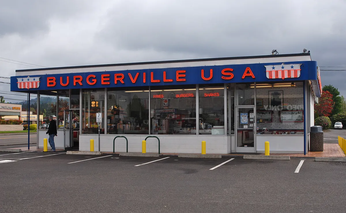
Beaverton local guide
Beaverton lies on the flat floor of the Tualatin Valley, separated from central Portland by the wooded rise of the Tualatin Mountains, known locally as the West Hills. Because these hills create a physical boundary, east-west travel relies heavily on specific highway passes and rail tunnels.
US 26 (Sunset Highway) handles the primary traffic flow along Beaverton's northern edge. During morning and evening commute windows, traffic slows significantly at the Sylvan grade, where highway lanes merge before entering the Robertson Tunnel under the West Hills. During these peak commute periods, TriMet's MAX Light Rail (Blue and Red lines) provides a predictable connection through the hills directly into downtown Portland and PDX Airport.
Bisecting the city north-to-south, Highway 217 connects US 26 with Interstate 5 in Tigard. Recent completion of the OR 217 Auxiliary Lanes Project added ramp-to-ramp auxiliary lanes and frontage road improvements between Allen Blvd and Denney Rd to reduce merging collisions. Despite these structural additions, rush-hour bottlenecks still occur at high-volume interchange merges, making arterial surface routes like SW Murray Blvd and SW Scholls Ferry Rd useful alternatives for cross-town trips.
Explore your options
Beaverton's dining scene is concentrated across distinct walkable pockets, each offering unique formats and specialties.
A walkable historic dining strip featuring independent bistros, artisanal coffee roasters, craft taprooms, and expanded outdoor seating along the SW 1st Street Dining Commons.
Centered around Beaverton Central MAX station and City Hall, this district combines arts facilities with Washington County's largest food cart pod.
Stretching along Tualatin Valley Highway and Central Beaverton, this corridor features an exceptional density of authentic East and Southeast Asian restaurants.
Practical local guidance
Keep these verified administrative rules and venue policies in mind when planning activities around Beaverton.
A simpler way to decide
Follow these logical steps to build a smooth evening itinerary around performance arts and dining in Downtown Beaverton.
Review performance times at Patricia Reser Center for the Arts. Mainstage shows increase traffic around The Round and create high demand for nearby dining.
If attending a show, make early dinner reservations along SW Broadway. For casual walk-in dining without performance deadlines, visit BG Food Cartel.
Take MAX Light Rail directly to Beaverton Central station to avoid driving, or park inside the Beaverton Central District Garage off SW Rose Biggi Ave.
Double-check lot signage if using surface parking near SW Millikan Way to avoid exceeding posted 2-hour or 3-hour enforcement limits.
Finish your evening with walk-in drinks at local craft taprooms or bourbon bars located within a few walkable blocks along SW Broadway.
Common local questions
These are common situations people face when trying to decide where to eat, what to do, where to get drinks, or how to spend their time in Beaverton.
Beaverton planning questions
Practical answers for people deciding where to eat, what to do, where to go, or how to make plans in Beaverton.
Dogs and domestic pets are strictly prohibited at Tualatin Hills Nature Park and Cooper Mountain Nature Park to protect wildlife habitats. Dog owners should use pet-friendly trails like Fanno Creek Trail, Waterhouse Trail, or Commonwealth Lake Park instead.
The Beaverton Central District Garage on SW Rose Biggi Ave offers 24-hour paid hourly parking with EV charging stations. Free 2-hour street parking is available along SW Broadway, but visitors must watch out for private surface lots near The Round that strictly enforce 3-hour limits.
TriMet MAX Light Rail (Blue and Red lines) bypasses highway congestion at the US 26 Sylvan grade and Robertson Tunnel, providing a direct transit link between Beaverton Transit Center, downtown Portland, and PDX Airport.
Out-of-district visitors can register for THPRD programs and access recreation centers by paying out-of-district assessment fees or higher drop-in rates. In-district residents receive priority registration windows.
Located at 4250 SW Rose Biggi Ave, BG Food Cartel features over 30 food carts, an on-site speakeasy taproom, and a large covered and heated outdoor patio for year-round dining.
Located on the second floor of the Main Library, the DAM Makerspace provides access to 3D printers, Cricut vinyl cutters, sewing machines, fiber art tools, and button makers during open lab hours after signing a waiver.
The market operates on Saturdays from April through November between 8:30 AM and 1:30 PM on SW Hall Blvd near City Park, with a winter season running Saturdays from February through March.
Beaverton Transit Center connects MAX Light Rail (Blue and Red lines), WES Commuter Rail (serving Tigard, Tualatin, and Wilsonville), and high-frequency bus routes across Washington County.
While kitchens generally close between 8:30 PM and 9:30 PM, craft taprooms, whiskey lounges, and Korean pub food (pocha) spots in Central Beaverton remain open until late evening.
Source transparency
Official and locally relevant sources used to verify the practical information presented in this Beaverton decision guide.
Beaverton decision engine
Tell Adventria what kind of experience you want, set your practical limits, and turn the options in Beaverton into one workable plan.
Choose a Beaverton Plan