North Fontana (Sierra Lakes)
Best for
Suburban shopping, golf course views, and direct freeway connectivity.
 AdventriaLocalOpen App
Fontana Local Outing & Activity Decision Guide
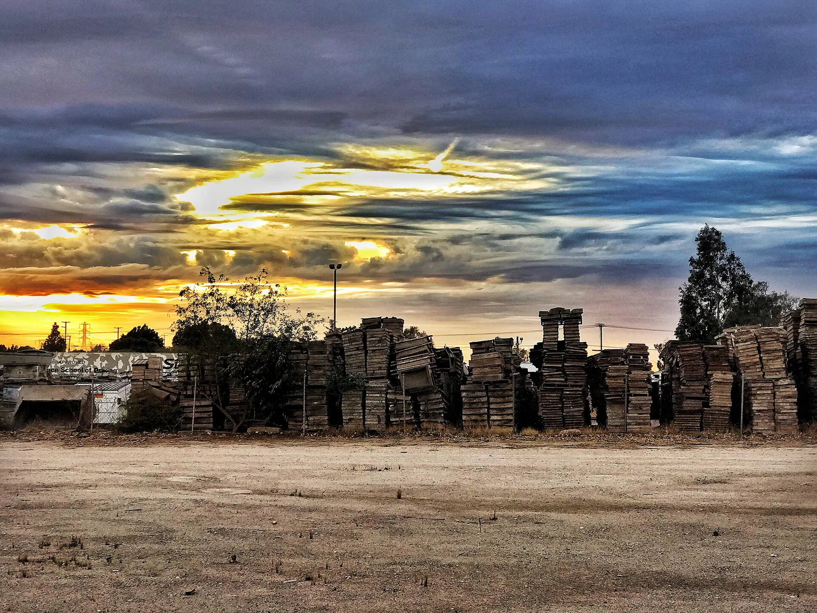
Trying to decide what to do in Fontana? Adventria helps you cut through the options and choose a good-enough plan without endless scrolling. Framed by the San Gabriel Mountains and the Jurupa Hills, Fontana blends industrial heritage with rapidly expanding master-planned communities and high-capacity public amenities. Whether you are timing a bike ride along the Pacific Electric Trail around Santa Ana wind gusts, avoiding freight bottlenecks on Interstate 10, or looking for low-cost municipal recreation, this guide provides clear local options for every situation.
The local decision problem
How to plan outings around summer heat, Cajon Pass wind gusts, and freight bottlenecks while enjoying Fontana's civic facilities, trails, and local dining.
That is where Adventria comes in. Adventria helps narrow the options in Fontana around practical factors like location, distance, budget, vibe, who you are with, and the kind of experience you actually want, so research can turn into a decision.
Let Adventria narrow the optionsPick the right part of town
Different parts of Fontana work for different kinds of plans. Start with the experience you want, then narrow the map.
Best for
Suburban shopping, golf course views, and direct freeway connectivity.
Best for
Elevated mountain views, quiet residential streets, and nearby trailheads.
Best for
Family housing, HOA parks, and access to regional aquatic complexes.
Best for
Civic resources, historic architecture, public arts, and transit access.
Best for
Established mid-century neighborhoods and classic commercial strips.
Best for
Foothill hiking, regional park sports, and community center programs.
This is a quick starting point. The full guide covers 7 local neighborhoods and districts in Fontana.
Eat & drink
Trying to decide where to eat in Fontana? Start with the local dining context below and narrow the decision around the kind of meal or experience you actually want.
For places to eat in Fontana, Central Fontana (West End & Morningside) is the clearest dining area supported by this guide. Start with Central Fontana (West End & Morningside). Residential communities flanking Historic Route 66 (Foothill Blvd), featuring mature trees, mid-century home lots, and long-standing local dining spots.
Still comparing options? Adventria can narrow the choice around budget, distance, vibe, and who you are with.
Decide with AdventriaPlan by situation
Start with the kind of plan you are actually trying to make. These city-specific ideas narrow the choice around who you are with, what you want to spend, the weather, and the kind of outing you want.
Start with early morning espresso at Paperboy Roasting Company, followed by a walk through the Veterans Memorial Rose Garden on the Pacific Electric Trail. For dinner and a show, pair dining along Sierra Avenue with an evening play at Center Stage Theater or a performance at Steelworkers' Auditorium.
Visit the Fontana Park Aquatic Center for its large splash pad, zero-depth entry pools, and water slides. For a low-tech natural experience, take kids to the Mary Vagle Nature Center to view live reptiles, outdoor ponds, and hands-on geology exhibits.
Admission is free at Mary Vagle Nature Center, the Art Depot Gallery, and all city park trailheads. For low-cost summer recreation, municipal open swim admission at Fontana Park Aquatic Center remains extremely affordable for families.
Bring a laptop or book to the 92,500-square-foot Fontana Lewis Library and Technology Center, the largest facility in the county system. If you prefer solo exercise, take a non-stop ride along the grade-separated Pacific Electric Trail or run the perimeter paths at Fontana Park.
For an outdoor plan from Fontana, compare trails, state parks, national parks within trip range, and scenic drives. Options in the current city guide include California Citrus State Historic Park and Chino Hills State Park.
When heavy rain or high Santa Ana winds roll through, stay indoors at the Lewis Library and Technology Center, take a drop-in fitness class at the 43,000-square-foot Jessie Turner Health & Fitness Center, or catch an indoor show at Steelworkers' Auditorium.
Reserve a picnic pavilion at Martin Tudor Jurupa Hills Regional Park or Fontana Park for sports and outdoor cookouts. Active groups can train together along the downhill elevation drop used for the famous Fontana Days Run route.
Outdoors nearby
Use these nearby outdoor options when the plan calls for a trail, protected landscape, park, or drive instead of another indoor stop. Proximity here is geographic, not a promise about driving time.
Get out of town
When staying in town is not the answer, these nearby destinations give you a smaller starting set for a day trip, overnight escape, or weekend away.
Destination relationships are screened geographically. Straight-line proximity is not presented as road mileage or estimated travel time.
Local landmarks & attractions
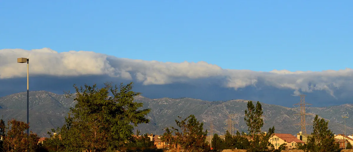
These notable destinations offer a starting point when you want something specific to see, visit, or build into a day around Fontana. Distances are approximate from the city area.
library, museum, and campus in Yorba Linda, California, USA
botanical garden in Claremont, California
motorsport track in the United States
65,000-capacity amphitheater located in the hills of Glen Helen Regional Park in San Bernardino, California, United States
family amusement centre in California
home and studio complex in Rancho Cucamonga, California, USA
historic site in California, United States
zoo in California, United States
Notable places are selected from structured public destination data and ranked for relevance, prominence, proximity, and variety.
Local decision signals
A useful local recommendation depends on how the city actually works. These conditions affect where to go, what to do, and whether a plan makes sense right now.
Fontana sits directly in the main wind funnel below the Cajon Pass, generating 40–60+ mph dry gusts that disrupt outdoor dining, cycling, and high-profile driving on I-15 and I-10.
Summer highs routinely range from 95°F to over 105°F, shifting local outdoor activity to early morning hours or climate-controlled indoor venues.
Southwest industrial areas near Slover and Valley corridors carry heavy semi-truck traffic, making State Route 210 a faster east-west alternative for residential travel.
A paved, grade-separated multi-use path running 7 miles straight through central Fontana, serving as the city's main non-motorized thoroughfare.
The historic Fontana Days Run features a 2,125-foot downhill drop from Lytle Creek down to City Hall, drawing competitive runners annually.
Downtown Sierra Avenue aggregates major public resources, including the county's largest library, Steelworkers Auditorium, Art Depot Gallery, and Metrolink rail.
North Fontana is split between the Etiwanda School District and Fontana Unified, creating distinct neighborhood patterns for family recreation and move choices.
Neighborhood context
Neighborhoods are not interchangeable. Each area offers a different balance of atmosphere, transportation, food, nightlife, activities, and planning friction.
Best for: Suburban shopping, golf course views, and direct freeway connectivity.
A master-planned residential district anchored by the 18-hole Sierra Lakes Golf Club and major retail corridors along Sierra and Highland Avenues.
Best for: Elevated mountain views, quiet residential streets, and nearby trailheads.
Situated at the northernmost border against open mountain slopes, offering larger single-family lots and quick access to outdoor foothill terrain.
Best for: Family housing, HOA parks, and access to regional aquatic complexes.
Modern master-planned enclaves built near Summit Avenue, characterized by neighborhood park loops, gated subdivisions, and proximity to Fontana Park.
Best for: Civic resources, historic architecture, public arts, and transit access.
The administrative heart of Fontana along Sierra and Arrow, home to the Fontana Metrolink Station, Lewis Library, Steelworkers Auditorium, and Art Depot.
Best for: Established mid-century neighborhoods and classic commercial strips.
Residential communities flanking Historic Route 66 (Foothill Blvd), featuring mature trees, mid-century home lots, and long-standing local dining spots.
Best for: Foothill hiking, regional park sports, and community center programs.
An established 1980s master-planned community built south of Interstate 10, bordered by the Jurupa Hills and anchored by Martin Tudor Regional Park.
Best for: Commercial logistics operations, industrial services, and freight transportation.
A high-density distribution and fulfillment sector built over historical steel manufacturing land along the I-10 and SR-60 transit lines.
Fontana local guide
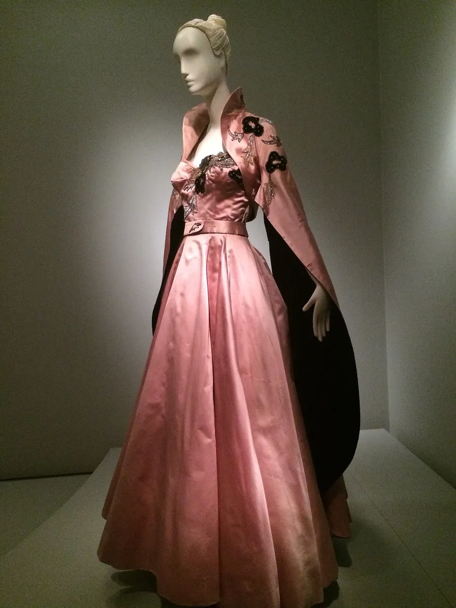
Fontana stretches across the San Bernardino Valley, bordered by the San Gabriel and San Bernardino Mountains to the north and the Jurupa Hills to the south. Because of this distinct terrain, daily life and recreation are influenced heavily by microclimates and regional transportation corridors. Interstates 10 and 15, along with State Routes 210 and 60, split the city into clear geographic zones. While these freeways offer quick regional access, they also carry high volumes of commuter cars and logistics freight trucks.
Commuters and local drivers face predictable bottlenecks during peak morning and evening commute hours. In South Fontana, heavy semi-truck traffic around Slover and Valley Boulevards serves the massive logistics fulfillment hubs built over former industrial sites. Residents traveling east-west across town frequently use State Route 210 in North Fontana as a faster alternative to I-10.
Weather dynamics also require practical planning. Fontana sits directly below the Cajon Pass, making it subject to strong Santa Ana wind events from fall through spring. High-pressure systems funnel dry, high-velocity gusts through the pass, leading to high-profile vehicle advisories on freeways and making outdoor patio dining or open-air park events difficult. During summer, heat routinely tops 100°F, prompting residents to plan outdoor activities for early mornings or shift to indoor civic facilities.
Explore your options
Choose your outing destination based on local vibe, whether you want modern suburban conveniences, downtown civic institutions, or outdoor trail access.
The historical and cultural center of Fontana, concentrated along Sierra Avenue and historic rail lines.
Suburban master-planned developments built along the foothill slopes with quick access to modern commercial centers.
Established residential neighborhoods tucked against nature reserves and regional hiking trails.
Practical local guidance
Keep these distinct local conditions in mind before heading out across the San Bernardino Valley.
A simpler way to decide
Follow these practical steps to navigate local traffic, wind alerts, and seasonal temperatures.
Look for wind advisories associated with the Cajon Pass, especially if planning high-profile driving on I-15 or outdoor biking on the Pacific Electric Trail.
Schedule outdoor trail runs in the Jurupa Hills or bike rides along the Pacific Electric Trail before 9:00 AM to avoid midday heat and rising wind speeds.
Use State Route 210 for cross-town residential travel to avoid semi-truck congestion along I-10 and commercial industrial corridors.
Take advantage of broad, free parking facilities at the Lewis Library complex downtown or the regional park lots at Fontana Park in the north.
Move afternoon activities into climate-controlled indoor spaces like the Lewis Library tech labs, Jessie Turner Fitness Center, or local indoor theater venues.
Common local questions
These are common situations people face when trying to decide where to eat, what to do, where to get drinks, or how to spend their time in Fontana.
Fontana planning questions
Practical answers for people deciding where to eat, what to do, where to go, or how to make plans in Fontana.
Fontana is located directly below the Cajon Pass, a major wind gap. Strong high-pressure systems create katabatic Santa Ana winds that blow high-velocity gusts (40–60+ mph) into the city. These winds can cause blowing dust, tree damage, elevated wildfire risks, and challenging conditions for high-profile vehicles on I-15 and I-10. Outdoor seating is often cleared, and trail cycling can become hazardous during severe warnings.
The Fontana Metrolink Station in Downtown Fontana operates on the San Bernardino Line, offering rail trips west to Los Angeles Union Station and east to San Bernardino. Local bus service is provided by Omnitrans, with major routes like Route 10 and Route 14 connecting Sierra Avenue, Foothill Boulevard, and neighboring transit centers.
First held in 1955, the Fontana Days Run features a Half Marathon certified as the World's Fastest Half Marathon Course. The route starts in Lytle Creek and drops 2,125 feet in elevation down to Fontana City Hall, helping runners achieve personal record times.
The Fontana Park Aquatic Center in North Fontana offers low-cost municipal entry to its Junior Olympic-sized pool, 48-inch splash slides, and zero-depth entry splash play areas, making it a budget-friendly summer option.
Spanning 92,500 square feet, the $65 million facility is the largest library in the San Bernardino County Library system. It houses extensive public computer labs, quiet reading zones, children's literacy sections, and an outdoor plaza adjoining the Steelworkers' Auditorium.
Heavy freight trucks frequently travel Slover Avenue, Valley Boulevard, and access ramps along I-10 and SR-60. Drivers making cross-town trips can bypass these logistics corridors by taking State Route 210 across North Fontana or using Baseline Avenue.
Indoor options include visiting the Lewis Library and Technology Center, taking exercise classes inside the 43,000-square-foot Jessie Turner Health & Fitness Center, browsing historical displays at the Art Depot Gallery, or attending indoor theater shows at Steelworkers' Auditorium.
Yes. Martin Tudor Jurupa Hills Regional Park offers foothill trails that climb the Jurupa Hills for Valley views, while the nearby Mary Vagle Nature Center features nature trails like the Smokestack Trail winding around pond habitats.
Source transparency
Official and locally relevant sources used to verify the practical information presented in this Fontana decision guide.
Fontana decision engine
Tell Adventria what kind of experience you want, set your practical limits, and turn the options in Fontana into one workable plan.
Choose a Fontana Plan