The Village at Mammoth (North Village)
Best for
Pedestrian plaza activity, gondola ski access, and upscale-casual dining
 AdventriaLocalOpen App
Local Decision Guide
Trying to decide what to do in Mammoth Lakes? Adventria helps you cut through the options and choose a good-enough plan without endless scrolling. Whether adjusting to high-elevation physiology, planning winter shuttle connections, or managing seasonal road closures, this guide provides a practical local decision framework for your time in Mammoth Lakes.
The local decision problem
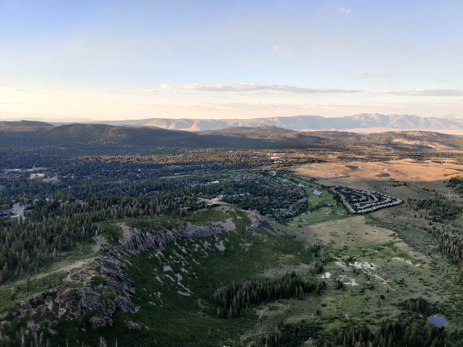
Navigating seasonal transit, mountain elevation, winter road regulations, and activity planning in Mammoth Lakes.
That is where Adventria comes in. Adventria helps narrow the options in Mammoth Lakes around practical factors like location, distance, budget, vibe, who you are with, and the kind of experience you actually want, so research can turn into a decision.
Let Adventria narrow the optionsPick the right part of town
Different parts of Mammoth Lakes work for different kinds of plans. Start with the experience you want, then narrow the map.
Best for
Pedestrian plaza activity, gondola ski access, and upscale-casual dining
Best for
Everyday services, grocery shopping, long-term stays, and classic local dining
Best for
Craft breweries, outdoor outfitters, light retail, and transit hub access
Best for
Slopeside winter lodging and direct ski access
Best for
Golfing, open meadow views, quiet condo stays, and Town Loop access
Best for
Summer alpine boating, backcountry trailheads, and outdoor swimming
This is a quick starting point. The full guide covers 8 local neighborhoods and districts in Mammoth Lakes.
Eat & drink
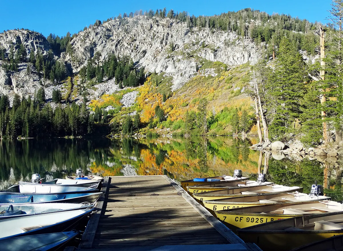
When the decision is less about what to do and more about where to eat or grab a drink, start here. These local cues narrow the food and drink decision without turning dinner or a night out into another hour of comparison.
Head to Main Street or Old Mammoth Road for walk-in friendly dining. Mammoth Brewing Company / The Eatery offers elevated pub food and beers in a casual setting, Distant Brewing serves craft beers on Main Street, and Roberto's Café on Old Mammoth Road provides hearty Mexican dishes without complex booking constraints.
Stroll through The Village at Mammoth for drinks at Shelter Distilling or Lakanuki tiki bar. For cozy pub atmosphere, visit Clocktower Cellar beneath Alpenhof Lodge for its deep whiskey selection, or head to Mammoth Rock 'N' Bowl for bowling, arcade games, and lounge drinks.
Still comparing options? Adventria can narrow the choice around budget, distance, vibe, and who you are with.
Decide with AdventriaPlan by situation
Start with the kind of plan you are actually trying to make. These city-specific ideas narrow the choice around who you are with, what you want to spend, the weather, and the kind of outing you want.
For an outdoor plan from Mammoth Lakes, compare trails, state parks, national parks within trip range, and scenic drives. Options in the current city guide include Bodie State Historic Park and Wassama Round House State Historic Park.
Start with an early morning sunrise soak at Wild Willy's Hot Springs off Benton Crossing Road, followed by breakfast at The Stove. For evening romance, book a table at Lakefront Restaurant inside Tamarack Lodge on Twin Lakes, or take a scenic gondola ride to Mammoth Mountain summit followed by fine continental dining at The Restaurant at Convict Lake.
Families can spend afternoons at Woolly's Adventure Summit for snow tubing, visit Mammoth Creek Park for its playground and paved trail access, skate indoors at the Community Recreation Center (CRC), or take summer dips at Horseshoe Lake's sandy shore.
When blizzards or rain close the upper mountain, visit the Community Recreation Center (CRC) at Mammoth Creek Park for covered indoor ice skating or court activities. Alternatively, book lanes or golf simulators at Mammoth Rock 'N' Bowl, catch a movie at Minaret Cinemas, or browse local pioneer history at the Mammoth Museum at Hayden Cabin during summer.
The Eastern Sierra Transit Authority (ESTA) operates year-round free fixed-route buses. In winter, lines like the Red, Blue, Green, and Teal lines run frequently between lodging areas, base lodges, and Vons supermarket. In summer, the Lakes Basin Trolley transports passengers and bicycles directly to Horseshoe Lake.
Take advantage of free natural attractions like soaking in geothermal hot springs off Benton Crossing Road (such as Wild Willy's or Hilltop Pool), walking or cycling the paved Town Loop, swimming at Horseshoe Lake, or visiting the Mammoth Museum at Hayden Cabin, which offers free admission with suggested donations.
Solo visitors can tackle day hikes along the Duck Pass or Mammoth Crest trails, test skills at the Mammoth Bike Park during summer, or grab coffee and warm breakfast at Stellar Brew, Base Camp Café, or The Looney Bean before exploring town multi-use paths.
Outdoors nearby
Use these nearby outdoor options when the plan calls for a trail, protected landscape, park, or drive instead of another indoor stop. Proximity here is geographic, not a promise about driving time.
Get out of town
When staying in town is not the answer, these nearby destinations give you a smaller starting set for a day trip, overnight escape, or weekend away.
Destination relationships are screened geographically. Straight-line proximity is not presented as road mileage or estimated travel time.
Local decision signals
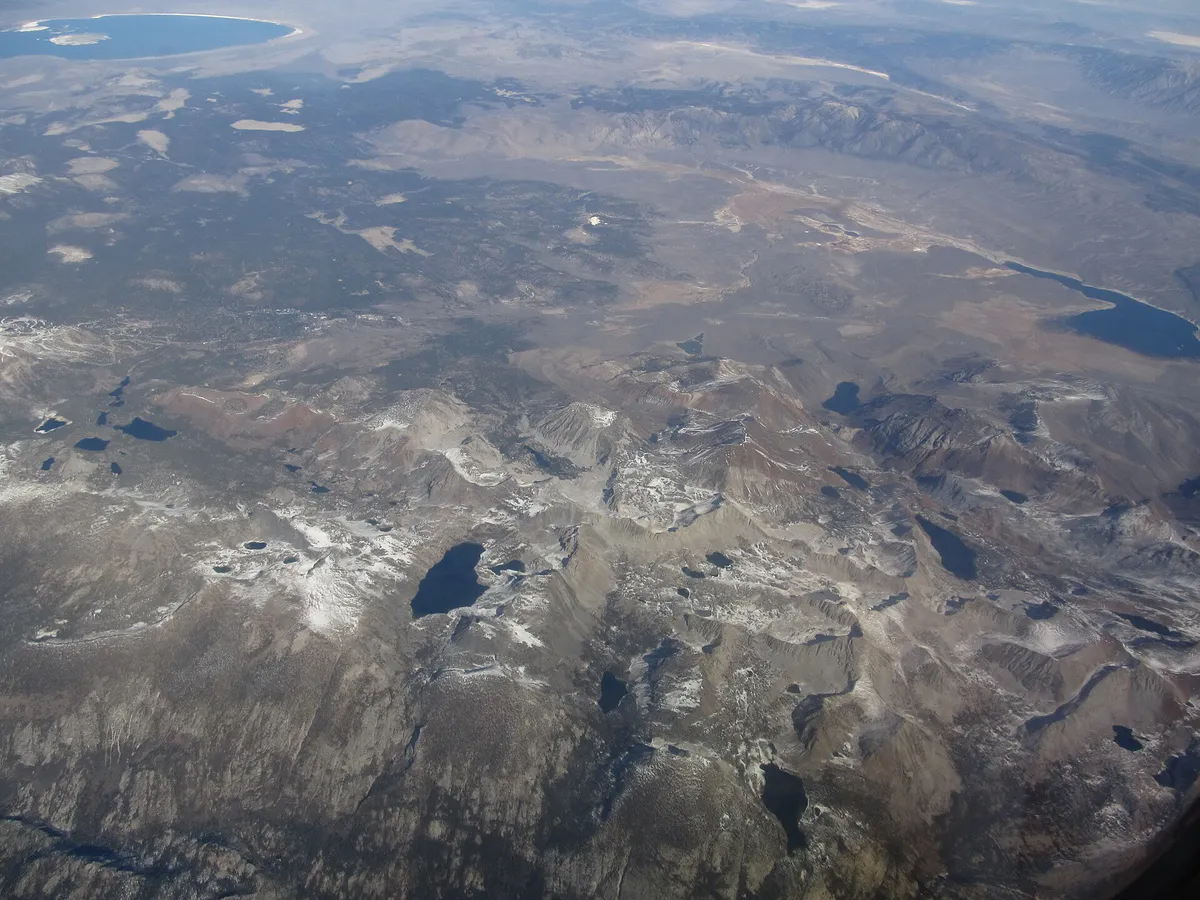
A useful local recommendation depends on how the city actually works. These conditions affect where to go, what to do, and whether a plan makes sense right now.
Street parking is banned town-wide from November 1 through April 30 to allow snowplowing. Vehicles left on streets are cited and towed.
Town sits between 7,800 and 8,000 feet, with the mountain summit reaching 11,053 feet. Hydration and sun protection are critical due to lower oxygen levels.
ESTA operates 100% free fixed-route shuttles and trolleys throughout town and to mountain base lodges, funded by the town and resort.
Caltrans mandates carrying tire chains inside all vehicles, including 4WD and AWD, when traveling through R2 chain control zones.
Tioga Pass (CA-120), Sonora Pass (CA-108), and Reds Meadow Road close during winter, blocking direct mountain routes to Yosemite and Devils Postpile.
Swimming is strictly prohibited in Lake Mary to protect municipal water supplies, but swimming is permitted at Horseshoe Lake.
Neighborhood context
Neighborhoods are not interchangeable. Each area offers a different balance of atmosphere, transportation, food, nightlife, activities, and planning friction.
Best for: Pedestrian plaza activity, gondola ski access, and upscale-casual dining
Central resort village surrounding Minaret Road and Canyon Boulevard. Houses high-density condos, outdoor fire pits, retail, and the Village Gondola to Canyon Lodge.
Best for: Everyday services, grocery shopping, long-term stays, and classic local dining
Historic commercial corridor extending south to Mammoth Creek Park. Features Vons supermarket, banks, pharmacies, and dense year-round local restaurants.
Best for: Craft breweries, outdoor outfitters, light retail, and transit hub access
Highway-oriented commercial strip entering town. Features the Mammoth Lakes Welcome Center, gear rental shops, gas stations, and local brewpubs.
Best for: Slopeside winter lodging and direct ski access
Residential enclave west of The Village surrounding Canyon Lodge ski base. Active during winter operating hours and quiet during evenings and shoulder seasons.
Best for: Golfing, open meadow views, quiet condo stays, and Town Loop access
Southern area at the base of Chair 15 (Eagle Lodge) and Snowcreek Golf Course. Features unobstructed Sherwin Range views, single-family homes, and multi-use paths.
Best for: Summer alpine boating, backcountry trailheads, and outdoor swimming
Alpine district above 8,900 feet elevation, 2.5 to 5 miles uphill via Lake Mary Road. Home to Twin Lakes, Lake Mary, Lake Mamie, Lake George, and Horseshoe Lake.
Best for: Mountain views and custom residential estates
Steep-terrain residential areas situated above Main Street and upper Old Mammoth Road, featuring custom estates and wide valley views.
Best for: Light industrial services, workforce housing, and motorized trail staging
Eastern district near US-395 housing workforce residential neighborhoods, Shady Rest Park, disc golf, and summer dirt biking or winter snowmobile staging.
Mammoth Lakes local guide
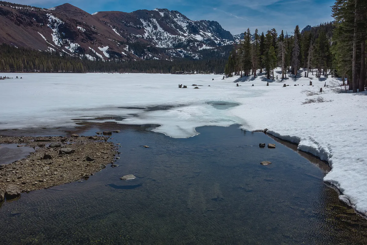
Mammoth Lakes sits on the eastern slope of California's Sierra Nevada mountain range in Mono County. The town rests at an elevation between 7,800 and 8,000 feet, while the Main Lodge sits at 8,900 feet and the mountain summit reaches 11,053 feet. Rapid ascent to these elevations causes mild hypoxia and dehydration, making proper liquid intake and sun protection necessary from the moment of arrival.
Transportation within town relies heavily on the Eastern Sierra Transit Authority (ESTA), which operates a completely free fixed-route bus and trolley network funded jointly by the town and resort. During winter, color-coded routes run frequently connecting residential districts, commercial corridors, and base lodges such as Canyon, Eagle, and Main Lodge. Summer transit shifts toward serving high-altitude lake basins, including bike-trailer-equipped trolleys to Horseshoe Lake and mandatory shuttles into Devils Postpile National Monument.
Driving demands careful attention to seasonal road conditions and strict parking enforcement. From November 1 through April 30, a town-wide overnight street parking ban is enforced continuously to allow uninterrupted snowplowing. Drivers must also comply with Caltrans chain control levels during Sierra storms, carrying tire chains inside all vehicles, even those equipped with four-wheel drive or all-wheel drive.
Explore your options
Select local activity paths tailored to family travel, solo exploration, couples, and large group gatherings.
Focus on accessible outdoor parks, structured snow play, and easy paved trails suitable for strollers and children.
Combine scenic mountain panoramas, relaxing thermal soaking, and fine lakeside dining.
Prioritize challenging backcountry day hikes, mountain biking, and relaxed coffee shop stops.
Coordinate large-table casual meals, social activity venues, and multi-passenger shuttle travel.
Practical local guidance
Practical options for low-stress day planning that do not require advance bookings or costly entrance fees.
A simpler way to decide
Follow these operational steps to ensure safe winter road transit and avoid municipal parking enforcement penalties.
Check Caltrans highway conditions on US-395 and State Route 203 before entering Mono County. Note whether R1 or R2 controls are actively enforced.
Ensure approved tire chains or traction devices are stored inside your vehicle, even if driving a four-wheel-drive or all-wheel-drive vehicle, to satisfy state law in R2 zones.
Confirm that your lodging unit provides sufficient driveway or garage space for all vehicles. If extra space is needed, purchase overnight parking at the Berner Street paid lot or Mammoth Mountain RV Park before 10:00 PM to avoid towing.
Walk or ride local Teal/Purple lines to The Village or transfer directly to the Red Line (Main Lodge), Blue Line (Canyon Lodge), or Green Line (Eagle Lodge) to avoid base lodge vehicle traffic.
Check resort status updates during severe weather. When upper mountain lifts and the Village Gondola experience wind holds, shift transit plans toward lower mountain base lodges or town activity centers.
Common local questions
These are common situations people face when trying to decide where to eat, what to do, where to get drinks, or how to spend their time in Mammoth Lakes.
Mammoth Lakes planning questions
Practical answers for people deciding where to eat, what to do, where to go, or how to make plans in Mammoth Lakes.
No. Mammoth Lakes features a free public transit system managed by ESTA, covering major lodging hubs, base lodges, grocery stores, and summer lake destinations.
Street parking is banned on all town streets from November 1 through April 30 to permit snowplowing. Overnight parking must occur on private driveway/garage space or paid overflow lots like Berner Street.
No. Tioga Pass (CA-120 West) closes during winter due to heavy snowpack, requiring a multi-hour detour via lower passes or US-395 through Nevada.
No. USFS regulations strictly prohibit swimming in Lake Mary because it serves as a municipal drinking water source. Visitors wanting to swim should head to Horseshoe Lake.
While 4WD and AWD vehicles with snow tires can drive through R2 chain control zones without mounting chains, California law mandates that chains must still be carried inside the vehicle.
Mammoth Yosemite Airport (MMH) is located 7 miles east with seasonal charter flights, while Eastern Sierra Regional Airport (BIH) in Bishop lies 45 miles south with commercial service.
Woolly's Adventure Summit offers dedicated snow tubing and snow play areas, and Mammoth Creek Park provides open space and indoor ice skating at the Community Recreation Center (CRC).
Nightlife and late dining are low-key, centered around Clocktower Cellar pub, Lakanuki tiki bar in The Village, Liberty Sports Bar & Grill, and Mammoth Rock 'N' Bowl.
Because town elevation ranges from 7,800 to 8,000 feet, visitors may experience mild hypoxia, faster dehydration, increased sun sensitivity, and lower alcohol tolerance.
High winds frequently pause operations on upper mountain chairlifts and the Village Gondola. Skiers and snowboarders typically redirect to lower base areas at Canyon Lodge, Eagle Lodge, or Main Lodge tree trails.
Source transparency
Official and locally relevant sources used to verify the practical information presented in this Mammoth Lakes decision guide.
Mammoth Lakes decision engine
Tell Adventria what kind of experience you want, set your practical limits, and turn the options in Mammoth Lakes into one workable plan.
Choose a Mammoth Lakes Plan