Downtown Waterfront & City Pier
Best for
Local dining, craft breweries, art galleries, and waterfront walking
 AdventriaLocalOpen App
Adventria Local Guide
Stop scrolling through endless directories. Use this verified guide to choose the right neighborhood, schedule your day around weather or transit, and find where to eat or explore in Port Angeles.
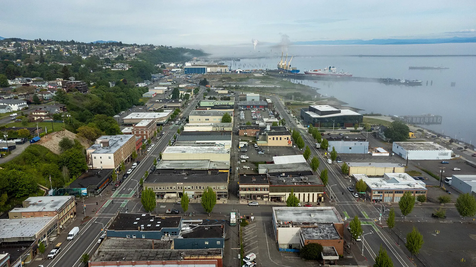
The local decision problem
Balancing urban waterfront exploration, international transit connections, and immediate access to alpine wilderness.
That is where Adventria comes in. Adventria helps narrow the options in Port Angeles around practical factors like location, distance, budget, vibe, who you are with, and the kind of experience you actually want, so research can turn into a decision.
Let Adventria narrow the optionsPick the right part of town
Different parts of Port Angeles work for different kinds of plans. Start with the experience you want, then narrow the map.
Best for
Local dining, craft breweries, art galleries, and waterfront walking
Best for
Panoramic views of the city shoreline and the Olympic Range
Best for
Accessing Olympic National Park
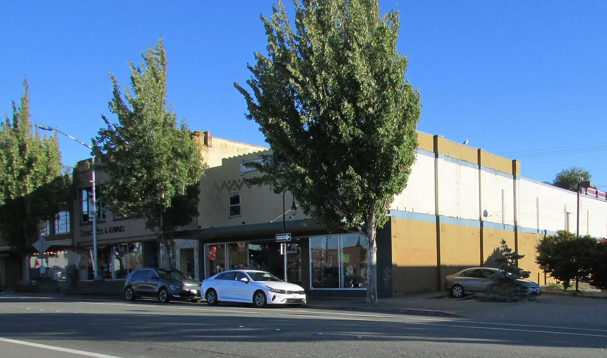
Eat & drink
Trying to decide where to eat in Port Angeles? Start with the local dining context below and narrow the decision around the kind of meal or experience you actually want.
Try Kokopelli Grill for downtown seafood and steaks, or grab fresh fish along the Port Angeles Wharf and City Pier area. Visit Chestnut Cottage Restaurant or The Blackbird Coffeehouse for early morning bites and artisan drinks, or head to Next Door Gastropub or The Rail Burgers for casual local comfort food and Northwest craft brews.
Still comparing options? Adventria can narrow the choice around budget, distance, vibe, and who you are with.
Decide with AdventriaPlan by situation
Start with the kind of plan you are actually trying to make. These city-specific ideas narrow the choice around who you are with, what you want to spend, the weather, and the kind of outing you want.
For a short escape from Port Angeles, compare Anacortes and Port Townsend. More options are listed in the trip section below.
For an outdoor plan from Port Angeles, compare trails, state parks, and national parks within trip range. Options in the current city guide include Sequim Bay and Miller Peninsula.
Explore the indoor gallery and 5-acre Webster's Woods Sculpture Park at the Port Angeles Fine Arts Center, or watch the sunset over the Olympic Mountains from the tip of Ediz Hook, followed by dinner downtown.
Touch tidepool creatures at the Feiro Marine Life Center on City Pier or explore the free Olympic Coast Discovery Center on Railroad Avenue.
Visit the Elwha Klallam Museum at the Carnegie, browse the Port Angeles Main Library, or watch the free orientation film at the Olympic National Park Visitor Center.
Enjoy free access to Ediz Hook, Hollywood Beach, City Pier, and Webster's Woods Art Park.
Rent a bike and ride the Olympic Discovery Trail along the coast toward Sequim or west along the Elwha River.
Outdoors nearby
Use these nearby outdoor options when the plan calls for a trail, protected landscape, park, or drive instead of another indoor stop. Proximity here is geographic, not a promise about driving time.
Get out of town
When staying in town is not the answer, these nearby destinations give you a smaller starting set for a day trip, overnight escape, or weekend away.
Destination relationships are screened geographically. Straight-line proximity is not presented as road mileage or estimated travel time.
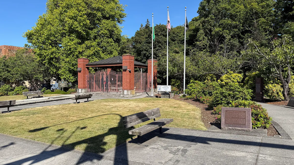
Local landmarks & attractions
These notable destinations offer a starting point when you want something specific to see, visit, or build into a day around Port Angeles. Distances are approximate from the city area.
museum in Victoria, British Columbia, Canada
public garden in Victoria, British Columbia, Canada
Historic building in Washington, USA
National historic Site of Canada located in British Columbia
performing arts building in Victoria, British Columbia, Canada
multi-purpose stadium in Langford, British Columbia, Canada
park in British Columbia, Canada
monument
Notable places are selected from structured public destination data and ranked for relevance, prominence, proximity, and variety.
Local decision signals
A useful local recommendation depends on how the city actually works. These conditions affect where to go, what to do, and whether a plan makes sense right now.
Clallam County's largest city on Washington's North Olympic Peninsula.
Situated along the Strait of Juan de Fuca in the rain shadow of the Olympic Mountains.
International transit hub with daily ferry service to Victoria, British Columbia.
Neighborhood context
Neighborhoods are not interchangeable. Each area offers a different balance of atmosphere, transportation, food, nightlife, activities, and planning friction.
Best for: Local dining, craft breweries, art galleries, and waterfront walking
Features the main walkable commercial strip along Front and First Streets with direct access to City Pier, Hollywood Beach, and the Black Ball Ferry Line terminal.
Best for: Panoramic views of the city shoreline and the Olympic Range
A 3-mile long sand spit stretching into the Strait of Juan de Fuca that forms the natural harbor.
Best for: Accessing Olympic National Park
Located just south of downtown along Mount Angeles Road, hosting the primary Olympic National Park Visitor Center and entry point up to Hurricane Ridge.
Port Angeles local guide
Port Angeles serves as the county seat of Clallam County and the largest city on Washington's North Olympic Peninsula. Situated along the Strait of Juan de Fuca in the rain shadow of the Olympic Mountains, it functions as a working-waterfront city, deep-water port, the primary northern gateway to Olympic National Park, and an international transit hub offering daily ferry service to Victoria, British Columbia.
Reachable via US Route 101, the city is connected by Clallam Transit local bus routes, the Straight Shot (Route 123) connecting to Bainbridge Island ferries to Seattle, and seasonal shuttles up to Hurricane Ridge. The Black Ball Ferry Line operates the M/V Coho daily between downtown and Victoria, carrying passengers and vehicles, while the Olympic Discovery Trail offers a paved, multi-use non-motorized route through the waterfront and across the peninsula.
Explore your options
Explore the distinct areas that shape Port Angeles, from the commercial waterfront to natural spits and mountain corridors.
The primary commercial strip and walking corridor along the water.
A natural sand spit forming the city's harbor.
The primary southern entryway into parklands.
Practical local guidance
Essential logistics for moving around Port Angeles and the surrounding peninsula.
A simpler way to decide
A straightforward sequence to narrow down your itinerary.
Decide whether your focus is accessing Olympic National Park trails, taking an international day trip, or exploring downtown dining and arts.
Review local Clallam Transit routes, seasonal shuttles, or ferry schedules depending on whether you are traveling by car or on foot.
Choose between the downtown waterfront for dining and galleries, Ediz Hook for panoramic views, or the visitor center corridor for mountain access.
Keep indoor options like the local library, museums, or visitor center orientation films in mind alongside outdoor parks and trails.
Common local questions
These are common situations people face when trying to decide where to eat, what to do, where to get drinks, or how to spend their time in Port Angeles.
Port Angeles planning questions
Practical answers for people deciding where to eat, what to do, where to go, or how to make plans in Port Angeles.
Port Angeles is reachable via US Route 101.
Yes, the Black Ball Ferry Line operates the M/V Coho daily between downtown Port Angeles and Victoria, B.C., carrying both passengers and vehicles.
The primary Olympic National Park Visitor Center and entry point up to Hurricane Ridge are located just south of downtown along Mount Angeles Road in the Peabody Creek corridor.
Ediz Hook is a 3-mile long sand spit stretching into the Strait of Juan de Fuca that forms the natural harbor, offering panoramic views of the city shoreline and the Olympic Range.
Clallam Transit operates local bus routes as well as the Straight Shot (Route 123), which connects to Bainbridge Island ferries to Seattle.
The Olympic Discovery Trail is a paved, multi-use non-motorized trail that runs through the city waterfront and stretches 28+ miles across the North Olympic Peninsula.
Source transparency
Official and locally relevant sources used to verify the practical information presented in this Port Angeles decision guide.
Port Angeles decision engine
Tell Adventria what kind of experience you want, set your practical limits, and turn the options in Port Angeles into one workable plan.
Choose a Port Angeles Plan