Downtown Tulare (Historic Core)
Best for
Civic administration, independent dining, museum visits, and central public parks.
 AdventriaLocalOpen App
LOCAL DECISION GUIDE
Trying to decide what to do in Tulare? Adventria helps you cut through the options and choose a good-enough plan without endless scrolling. Tulare's identity is shaped by its central San Joaquin Valley positioning along State Route 99, its deep agricultural roots, and its community venues. Whether you are traveling through the corridor, attending a global trade event at the International Agri-Center, or planning a local weekend, this guide provides clear navigation across Tulare's distinct functional districts.
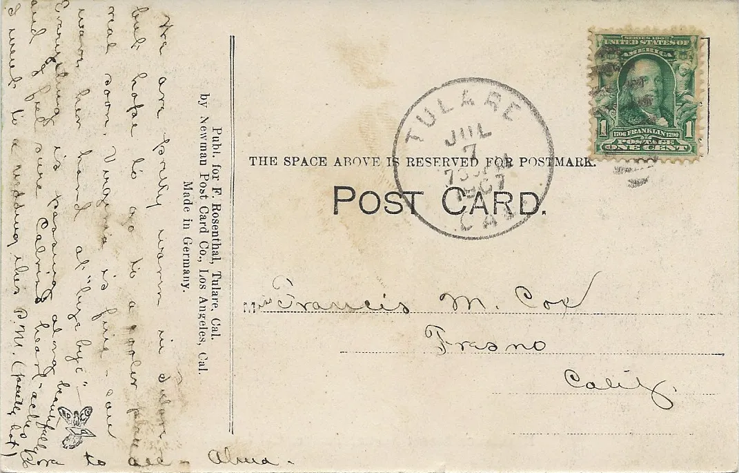
The local decision problem
How to plan activities, dining, transit, and event visits across Tulare's distinct districts and agricultural calendar.
That is where Adventria comes in. Adventria helps narrow the options in Tulare around practical factors like location, distance, budget, vibe, who you are with, and the kind of experience you actually want, so research can turn into a decision.
Let Adventria narrow the optionsPick the right part of town
Different parts of Tulare work for different kinds of plans. Start with the experience you want, then narrow the map.
Best for
Civic administration, independent dining, museum visits, and central public parks.
Best for
Retail shopping, movie outings, and familiar casual dining along the highway.
Best for
Large-scale agriculture conventions, trade expos, and agricultural education exhibits.
Best for
Higher education, agricultural training, and suburban park recreation.
Best for
High school athletics, community track meets, and historic sports landmarks.
Best for
Motorsports racing, community fairs, and large seasonal outdoor gatherings.
Eat & drink
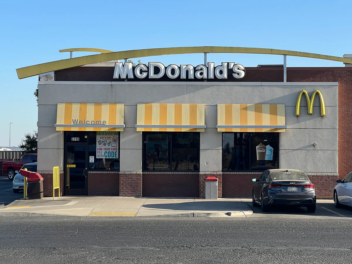
When the decision is less about what to do and more about where to eat or grab a drink, start here. These local cues narrow the food and drink decision without turning dinner or a night out into another hour of comparison.
For places to eat in Tulare, start with Downtown Tulare (Historic Core) or Northwest / Prosperity Commercial Corridor depending on the kind of stop you want. Start with Downtown Tulare (Historic Core) for civic administration, independent dining, museum visits, and central public parks.. Northwest / Prosperity Commercial Corridor works for retail shopping, movie outings, and familiar casual dining along the highway..
For vintage diner fare and scratch-made baking, head to Apple Annie's Restaurant & Bakery on Blackstone Street or Funny Farm Cafe. For Mexican dishes and margaritas, long-standing local favorite Vejar's Mexican Restaurant & Cocktail Lounge on South K Street serves classics like machaca and menudo, while Sushinola near Tulare and Laspina offers Mexican-style sushi rolls. If you prefer seasonal Central Valley ingredients, consider Braised Kitchen, sample classic Italian fare at La Piazza Ristorante Italiano on East Tulare Avenue, or try tri-tip sandwiches and farm salads at Bravo Farms Restaurant at the Tulare Outlets.
Still comparing options? Adventria can narrow the choice around budget, distance, vibe, and who you are with.
Decide with AdventriaPlan by situation
Start with the kind of plan you are actually trying to make. These city-specific ideas narrow the choice around who you are with, what you want to spend, the weather, and the kind of outing you want.
Begin your evening with dinner at Braised Kitchen or La Piazza Ristorante Italiano. Transition to Downtown Tulare for a glass of wine, craft beer, and live acoustic performance at Baron's Table Wine Bar. Finish with an evening movie showtime at Galaxy Theatres Tulare.
Take children to the interactive AgVentures! Learning Center at the International Agri-Center to explore hands-on agricultural displays. During summer months (Memorial Day to Labor Day weekend), kids can cool off at free public park splash pads located at Del Lago Park, Zumwalt Park, or Mulcahy Park. Follow up with a kid-friendly breakfast or lunch at Apple Annie's.
When summer heat passes 100°F or winter Tule fog makes outdoor driving unpleasant, head indoors. Explore the indoor collections at the Tulare Historical Museum, visit the Heritage Complex and Antique Farm Equipment Museum, browse books at the Tulare Public Library, or watch a movie at Galaxy Theatres.
Enjoy a self-guided stroll through the Tulare Historical Museum to view the Bob Mathias decathlon gold medals and local agricultural artifacts. Grab a solo meal at Apple Annie's or an outdoor bite at Bravo Farms. Take a quiet cycle along the paved Tulare Santa Fe Trail, or catch TCRTA Route 11X from the Downtown Transit Center for a quick trip into Visalia.
For outdoor group gatherings, reserve a pavilion or picnic shelter at Centennial Park or Cypress Park through the city's Parks Department. For group entertainment, attend auto races at Thunderbowl Raceway or arrange a group meal at La Piazza Ristorante Italiano or Bravo Farms Restaurant.
For an outdoor plan from Tulare, compare trails, state parks, national parks within trip range, and scenic drives. Options in the current city guide include Colonel Allensworth State Historic Park and Wassama Round House State Historic Park.
For a short escape from Tulare, compare Fresno and Bakersfield. More options are listed in the trip section below.
Outdoors nearby
Use these nearby outdoor options when the plan calls for a trail, protected landscape, park, or drive instead of another indoor stop. Proximity here is geographic, not a promise about driving time.
Get out of town
When staying in town is not the answer, these nearby destinations give you a smaller starting set for a day trip, overnight escape, or weekend away.
Destination relationships are screened geographically. Straight-line proximity is not presented as road mileage or estimated travel time.
Local landmarks & attractions
These notable destinations offer a starting point when you want something specific to see, visit, or build into a day around Tulare. Distances are approximate from the city area.
theater and former movie theater in Visalia, California, United States
casino in California
arena in California, United States
historical place in Tulare County, United States
park in California, United States of America, United States of America
baseball stadium in Visalia, California
Notable places are selected from structured public destination data and ranked for relevance, prominence, proximity, and variety.
Local decision signals
A useful local recommendation depends on how the city actually works. These conditions affect where to go, what to do, and whether a plan makes sense right now.
Every mid-February, over 100,000 visitors head to the International Agri-Center, creating heavy traffic along SR-99 and Laspina Street while filling regional accommodations.
From late autumn through winter, thick radiation fog reduces visibility on SR-99 and rural agricultural roads, requiring extra caution and flexible travel timing.
Summer temperatures frequently exceed 100°F, prompting residents to plan outdoor recreation along the Santa Fe Trail or at city parks during early morning or evening hours.
A 4.8-to-5-mile paved rail-trail cuts north-south through the city, providing a non-motorized route connecting Downtown, local parks, and residential neighborhoods.
Route 11X operated by TCRTA offers direct express transit between the Downtown Tulare Transit Center and the Visalia Transit Center.
During late summer and autumn harvest seasons, slow-moving farm vehicles travel the two-lane rural highways surrounding the city, adding minor local friction.
Neighborhood context
Neighborhoods are not interchangeable. Each area offers a different balance of atmosphere, transportation, food, nightlife, activities, and planning friction.
Best for: Civic administration, independent dining, museum visits, and central public parks.
Centered around K Street, Tulare Avenue, and Kern Avenue. Anchored by Tulare City Hall, the Tulare Historical Museum, Zumwalt Park, and the central Tulare Transit Center.
Best for: Retail shopping, movie outings, and familiar casual dining along the highway.
Stretches along Highway 99, Prosperity Avenue, Hillman Street, and Retherford Street. Anchored by the open-air Tulare Outlets, Galaxy Theatres, and regional shopping centers.
Best for: Large-scale agriculture conventions, trade expos, and agricultural education exhibits.
Located off South Laspina Street adjacent to SR-99. Home to the International Agri-Center, the Heritage Complex, Farm Credit Dairy Center, and AgVentures! Learning Center.
Best for: Higher education, agricultural training, and suburban park recreation.
The eastern sector along Bardsley and Cypress Avenues. Home to the College of the Sequoias (COS) Tulare College Center with its 360-acre educational farm, alongside Cypress Park.
Best for: High school athletics, community track meets, and historic sports landmarks.
Situated around East Tulare Avenue, featuring Tulare Union High School and the historic Bob Mathias Stadium.
Best for: Motorsports racing, community fairs, and large seasonal outdoor gatherings.
Positioned south-central at 620 South K Street. Home to the Tulare County Fairgrounds and the Thunderbowl Raceway high-banked dirt oval track.
Tulare local guide
Tulare’s urban footprint stretches along State Route 99 in California’s San Joaquin Valley, positioned eight miles south of Visalia and midway between Fresno and Bakersfield. The city is defined by clear operational zones: historic civic life downtown along K Street, major retail activity to the northwest off Prosperity Avenue, global agricultural exposition facilities to the south along Laspina Street, and educational institutions to the east along Bardsley Avenue.
Navigating Tulare requires an understanding of its calendar-driven travel friction. The second week of February marks the annual World Ag Expo at the International Agri-Center, drawing over 100,000 visitors and filling hotels across Tulare and Visalia. Mid-September brings the Tulare County Fair to South K Street, creating localized road closures. During these major events, using designated highway interchanges like SR-99 at Laspina Street and allowing extra transit time is essential.
Weather conditions also shape local planning. Late autumn and winter bring dense Tule fog, which drastically reduces driving visibility along rural agricultural roads and SR-99 during late night and early morning hours. Conversely, summer temperatures routinely cross 100°F from June through September, driving outdoor recreational activities to the early morning hours and increasing reliance on municipal splash pads and air-conditioned cultural venues.
Explore your options
Tulare hosts several major regional assets that support history, commerce, and recreation across the city.
A multi-use agricultural exposition center spanning 2.6 million square feet off South Laspina Street.
Located at 444 W. Tulare Ave on the site of Tulare's first public schoolhouse.
An open-air retail and entertainment center situated off Retherford Street and SR-99.
A central event complex located at 620 South K Street.
Practical local guidance
Tulare Parks & Recreation maintains 363 total acres of municipal parkland, offering active sports facilities, paved trails, and splash pads.
Common local questions
These are common situations people face when trying to decide where to eat, what to do, where to get drinks, or how to spend their time in Tulare.
Tulare planning questions
Practical answers for people deciding where to eat, what to do, where to go, or how to make plans in Tulare.
The World Ag Expo takes place annually starting on the second Tuesday of February at the International Agri-Center on South Laspina Street. It brings over 100,000 international attendees and 1,200 exhibitors to the city.
Located at 444 W. Tulare Ave, the museum features Native American Yokuts artifacts, Southern Pacific Railroad history, the Manuel Toledo military collection, and the Bob Mathias exhibit displaying two Olympic decathlon gold medals.
The Tulare Santa Fe Trail is a 4.8-to-5-mile paved multi-use rail-trail built along a former Atchison, Topeka and Santa Fe railroad right-of-way. It runs through central Tulare, connecting downtown, residential neighborhoods, and Del Lago Park.
The Tulare County Regional Transit Agency (TCRTA) operates Route 11X, an express commuter bus route linking the Tulare Transit Center in Downtown Tulare directly to the Visalia Transit Center.
The City of Tulare operates seasonal water splash pads at Del Lago Park, Zumwalt Park, and Mulcahy Park. They typically run from Memorial Day weekend through Labor Day on weekends and holidays.
The Tulare Outlets complex on Retherford Street features Bravo Farms Restaurant, which offers farm-fresh salads, tri-tip sandwiches, artisan pizzas, and craft cocktails, along with quick-service options nearby.
The Tulare County Fair is held annually over 5 days in mid-September at the Tulare County Fairgrounds on South K Street, featuring livestock auctions, carnival rides, concerts, and motorized events.
Thunderbowl Raceway is located at the Tulare County Fairgrounds complex at 620 South K Street. It is a high-banked dirt oval track that hosts auto racing events.
Yes, parking in Tulare is overwhelmingly free and surface-lot based, including street parking in Downtown Tulare, expansive parking lots at the Tulare Outlets, and venue parking at city parks and the Agri-Center.
Source transparency
Official and locally relevant sources used to verify the practical information presented in this Tulare decision guide.
Tulare decision engine
Tell Adventria what kind of experience you want, set your practical limits, and turn the options in Tulare into one workable plan.
Choose a Tulare Plan