Downtown / Bridgeway Promenade
Best for
First-time visitors, scenic bay vistas, souvenir shopping, ferry arrivals
 AdventriaLocalOpen App
Sausalito Local Decision Guide
Trying to decide what to do in Sausalito? Adventria helps you cut through the options and choose a good-enough plan without endless scrolling. Sausalito is physically narrow, squeezed between the 1,000-foot slopes of the Marin Headlands and the waters of Richardson Bay. Choosing where to go depends heavily on arrival method, time of day, and sensitivity to waterfront wind and evening kitchen schedules.
The local decision problem
Navigating ferry logistics, shifting waterfront winds, parking rules, and neighborhood trade-offs in Sausalito.
That is where Adventria comes in. Adventria helps narrow the options in Sausalito around practical factors like location, distance, budget, vibe, who you are with, and the kind of experience you actually want, so research can turn into a decision.
Let Adventria narrow the optionsPick the right part of town
Different parts of Sausalito work for different kinds of plans. Start with the experience you want, then narrow the map.
Best for
First-time visitors, scenic bay vistas, souvenir shopping, ferry arrivals
Best for
Casual dining, craft beer, neighborhood services, escaping tourist crowds
Best for
Historic walks, breezy shoreline access, southern entry point
Best for
Art studios, indoor scale models, maritime heritage, sustainable dining
Best for
Floating home architecture walks, dock strolls, photography
Best for
Panoramic residential views, fog-sheltered microclimates
This is a quick starting point. The full guide covers 7 local neighborhoods and districts in Sausalito.
Eat & drink
When the decision is less about what to do and more about where to eat or grab a drink, start here. These local cues narrow the food and drink decision without turning dinner or a night out into another hour of comparison.
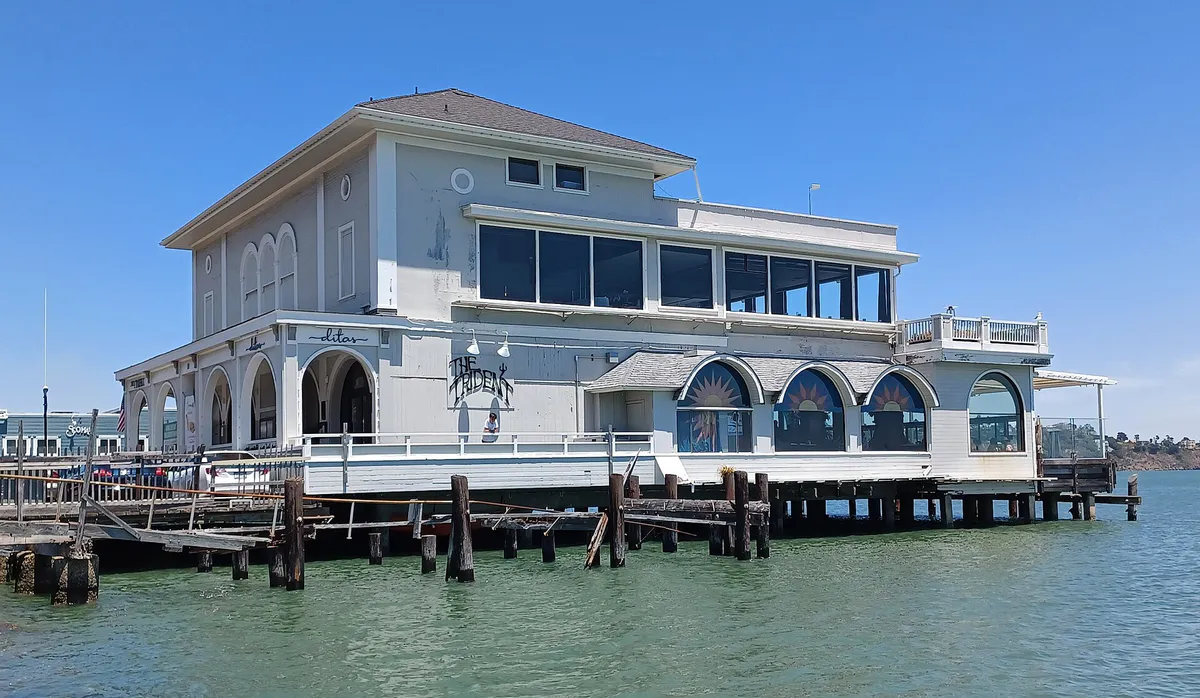
Head inland to Caledonia Street or north to the Marinship District. Caledonia offers wood-fired pizza and beachside bocce at Bar Bocce or rotisserie chicken and craft beer at Joinery. In Marinship, Le Garage offers classic French bistro fare inside a converted waterfront boat garage, while Fish. serves sustainable seafood along the harbor.
Because restaurant kitchens close early (typically between 8:30 PM and 9:30 PM), order dinner before 8:00 PM along Caledonia Street or Bridgeway. Afterward, head to The No Name Bar at 1529 Bridgeway for drinks and live jazz or blues on the rear garden patio.
Still comparing options? Adventria can narrow the choice around budget, distance, vibe, and who you are with.
Decide with AdventriaPlan by situation
Start with the kind of plan you are actually trying to make. These city-specific ideas narrow the choice around who you are with, what you want to spend, the weather, and the kind of outing you want.
For a short escape from Sausalito, compare Calistoga and Half Moon Bay. More options are listed in the trip section below.
Book a early late-afternoon table at Poggio Trattoria or Bar Bocce to catch the sun over the water before winds drop temperatures. Follow up with a walk past the historic elephant fountain at Viña del Mar Plaza or quiet live music at The No Name Bar.
Spend the morning at the Bay Area Discovery Museum at Fort Baker, designed for ages 0–8 with 7.5 acres of indoor/outdoor play space under the Golden Gate Bridge. Afterwards, visit Robin Sweeny Park behind City Hall for its open lawns and playground.
Explore the massive 1.5-acre covered indoor hydraulic scale model of the bay at the Bay Model Visitor Center, or view working art studios inside the historic Industrial Center Building (ICB) on Gate 5 Road.
Stroll the public docks at Waldo Point Harbor and Galilee Harbor to view the unique floating homes, visit the free Bay Model Visitor Center, walk the historic shoreline trail at Fort Baker's Horseshoe Cove, or relax at Gabrielson Park.
Cycle across the Golden Gate Bridge via Alexander Avenue into Sausalito, park your bicycle at designated municipal bike racks near the ferry landing, grab lunch in Marinship, and board the Golden Gate Ferry for a relaxed return voyage to San Francisco.
Opt for casual communal seating at Joinery craft beer hall or reserve patio time at Bar Bocce. Group visits can also be coordinated in advance for educational walks through the Bay Model Visitor Center.
Outdoors nearby
Use these nearby outdoor options when the plan calls for a trail, protected landscape, park, or drive instead of another indoor stop. Proximity here is geographic, not a promise about driving time.
Get out of town
When staying in town is not the answer, these nearby destinations give you a smaller starting set for a day trip, overnight escape, or weekend away.
Destination relationships are screened geographically. Straight-line proximity is not presented as road mileage or estimated travel time.
Local landmarks & attractions
These notable destinations offer a starting point when you want something specific to see, visit, or build into a day around Sausalito. Distances are approximate from the city area.
prison in the San Francisco Bay
zoo in San Francisco
indoor arena in San Francisco, California, USA
structure in San Francisco
modern art museum in San Francisco, California, USA
opera house in San Francisco, California, United States, home of the San Francisco Opera company
observation tower
botanical garden
Notable places are selected from structured public destination data and ranked for relevance, prominence, proximity, and variety.
Local decision signals
A useful local recommendation depends on how the city actually works. These conditions affect where to go, what to do, and whether a plan makes sense right now.
Golden Gate Ferry is the sole operator providing direct water transit between downtown Sausalito and the San Francisco Ferry Building following the suspension of Blue & Gold Fleet services.
Between 2:00 PM and 5:00 PM, ocean air drawn through the Golden Gate gap creates 15–25 mph breezes along Bridgeway, rapidly cooling exposed outdoor waterfront dining.
Riding bicycles on downtown sidewalks or in the ferry plaza is prohibited. Bikes locked to non-designated fixtures like trees or handrails are subject to impoundment by Sausalito Police with a $25 release fee.
Most restaurant kitchens close between 8:30 PM and 9:30 PM across all districts, making late-night food options sparse.
Non-folding e-bikes are accepted on ferries only when powered off. Shared bikeshare bicycles, such as Lyft Bay Wheels, are restricted from entering Sausalito service boundaries.
The central hillside and Caledonia area benefit from a local microclimate known as the Banana Belt, averaging higher temperatures and up to 280 sunny days per year.
Driving northbound into Sausalito across the Golden Gate Bridge is toll-free, while southbound driving into San Francisco requires electronic toll payment.
Neighborhood context
Neighborhoods are not interchangeable. Each area offers a different balance of atmosphere, transportation, food, nightlife, activities, and planning friction.
Best for: First-time visitors, scenic bay vistas, souvenir shopping, ferry arrivals
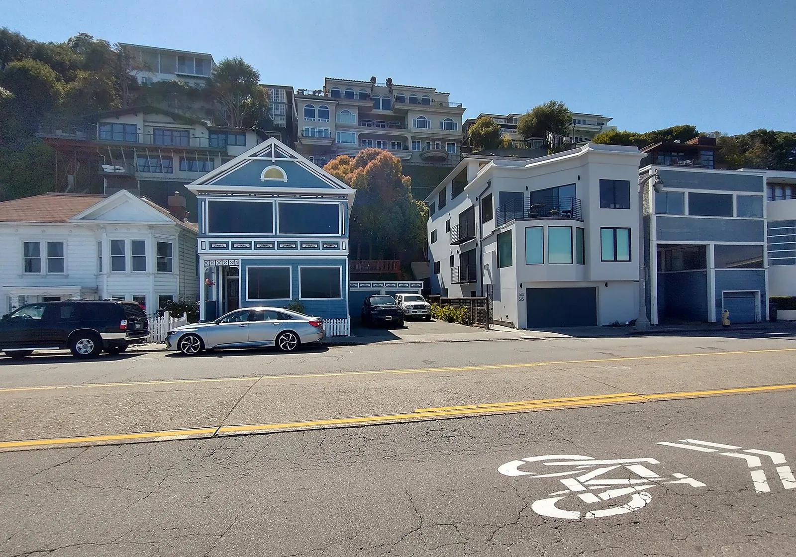
The waterfront core along Bridgeway and Princess Street featuring dense art galleries, seafood restaurants, Viña del Mar Plaza, and direct ferry access.
Best for: Casual dining, craft beer, neighborhood services, escaping tourist crowds
Located just inland and north of downtown, Caledonia Street holds essential local services, neighborhood cafes, grocery stores, and casual patio dining.
Best for: Historic walks, breezy shoreline access, southern entry point
Sausalito's initial 1830s settlement zone located in a southern ravine. It funnel breezes from the Golden Gate, earning its local wind-centric nickname.
Best for: Art studios, indoor scale models, maritime heritage, sustainable dining
A former WWII shipyard turned creative working-marina hub hosting the Bay Model Visitor Center, ICB artist studios, boat repair yards, and waterfront eateries.
Best for: Floating home architecture walks, dock strolls, photography
A northern Richardson Bay residential community containing over 400 floating homes built on arks and concrete pontoons across Waldo Point, Galilee Harbor, and Gates Cooperative.
Best for: Panoramic residential views, fog-sheltered microclimates
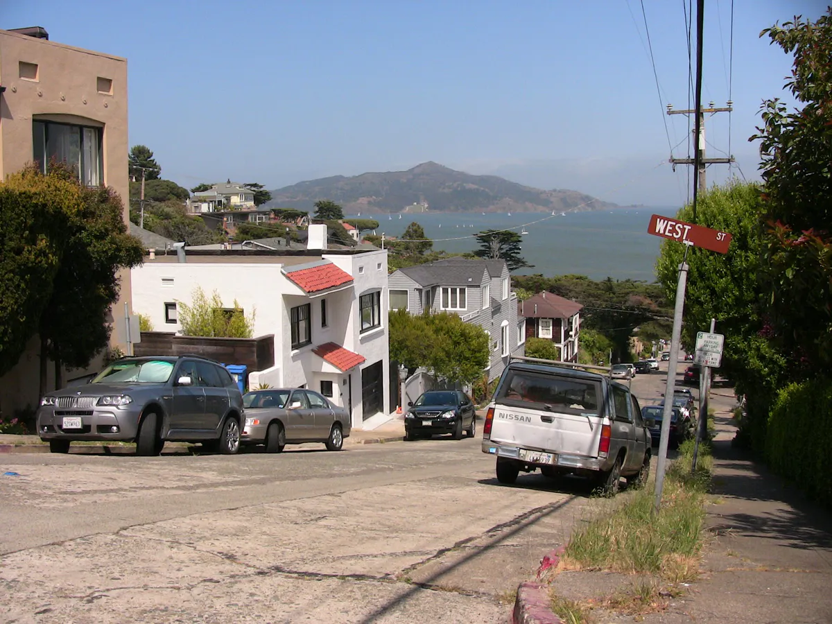
Steep residential slopes rising west of Bridgeway. Offers sheltered pockets from marine winds along narrow, winding hillside streets.
Best for: Families with young children, national parkland, Golden Gate views
A historic 1905 military post located at the foot of the Golden Gate Bridge within the Golden Gate National Recreation Area, featuring the Bay Area Discovery Museum and Horseshoe Cove.
Sausalito local guide
Sausalito sits directly in the fog shadow of the 1,000-foot Marin Headlands, making central and northern areas like the Banana Belt significantly warmer and sunnier than San Francisco's oceanfront. However, southern points near Old Town and Hurricane Gulch lie directly in line with ocean winds flowing through the Golden Gate gap. On summer afternoons, offshore winds along Bridgeway routinely surge between 2:00 PM and 5:00 PM, causing outdoor patio temperatures to drop quickly.
Travel friction centers around the town's geography. Highway 101 forms the main road artery, but weekend traffic returning south toward the Golden Gate Bridge creates major gridlock along Alexander Avenue and Bridgeway. Visitors arriving via water rely entirely on Golden Gate Ferry, which links downtown Sausalito to the San Francisco Ferry Building. Blue & Gold Fleet services are suspended.
Drivers and cyclists face strict local enforcement. Bicycles are prohibited on downtown sidewalks and inside the ferry plaza, and locking bikes to non-designated structures results in impoundment fees. Drivers must navigate 2-hour to 3-hour parking limits at meters or use municipal lots, while surrounding hillside residential streets strictly enforce permit parking.
Explore your options
Align your itinerary with the specific character, parking conditions, and dining offerings of Sausalito's primary districts.
The primary waterfront strip hosting high-density boutique shopping, art galleries, seafood dining, and direct ferry terminal access.
Located one block inland, this commercial corridor serves as the neighborhood hub for local daily life, casual dining, and craft beverages.
A working maritime and industrial zone featuring art studios, historic WWII shipyards, and major educational institutions.
National parkland situated at the foot of the Golden Gate Bridge featuring historic military structures and family attractions.
Practical local guidance
Review these municipal operational rules before driving or riding through Sausalito.
A simpler way to decide
Follow these steps to manage timing, fare payment, and transit rules when riding the ferry between San Francisco and Sausalito.
Verify departure times directly with Golden Gate Ferry, as they operate as the sole service provider between the San Francisco Ferry Building and Sausalito.
Use an Adult Clipper card or Contactless Bank Card (Visa/Mastercard/Apple Pay) to receive discounted rates over single-ride paper tickets purchased at terminal machines.
If traveling with an electric bike, ensure it is powered off during boarding and storage. Shared rental bikes like Lyft Bay Wheels are banned on ferries and cannot leave San Francisco bounds.
Upon arrival in Sausalito, park your bike in designated city racks along Bridgeway or Caledonia Street to avoid impoundment.
Arrive at the ferry landing 30–45 minutes prior to departure on weekend afternoons (3:00 PM–6:00 PM), as vessel bike capacities can fill rapidly.
Common local questions
These are common situations people face when trying to decide where to eat, what to do, where to get drinks, or how to spend their time in Sausalito.
Sausalito planning questions
Practical answers for people deciding where to eat, what to do, where to go, or how to make plans in Sausalito.
Golden Gate Ferry provides direct service between the San Francisco Ferry Building and downtown Sausalito. Blue & Gold Fleet suspended its Sausalito ferry route.
Yes, non-folding electric bikes are allowed on Golden Gate Ferry on a first-come, first-served basis, provided they are powered off while onboard. Charging e-bike batteries onboard is prohibited. Shared bikeshare bikes, such as Lyft Bay Wheels, are strictly prohibited on ferries.
Bicycles must be parked in designated municipal bike racks along Bridgeway, Caledonia Street, and near the ferry terminal. Locking bicycles to trees, handrails, or street poles is illegal and subject to a $25 impoundment fee by the Sausalito Police Department.
Admission to the U.S. Army Corps of Engineers Bay Model Visitor Center is free, though voluntary donations are accepted. It operates Tuesday through Saturday and is closed Sundays, Mondays, and federal holidays.
Driving northbound into Sausalito across the Golden Gate Bridge is toll-free. Southbound driving returning to San Francisco requires an electronic toll payment via FasTrak or Pay-By-Plate; there are no cash toll booths.
Caledonia Street sits one block inland from the tourist-heavy Bridgeway waterfront. It houses local services, neighborhood bars, grocery stores, and casual dining spots like Bar Bocce and Joinery with fewer tourist crowds.
Fort Baker at the foot of the Golden Gate Bridge is ideal for young children. It hosts the Bay Area Discovery Museum, a 7.5-acre indoor/outdoor facility built specifically for children ages 0–8, complete with dedicated parking.
The floating home communities (including Waldo Point Harbor, Galilee Harbor, and Gates Cooperative) are located at the northern end of Sausalito along Richardson Bay, accessed via Gate 5 and Gate 6 Roads.
The Banana Belt refers to the sheltered central and hillside areas above Caledonia Street and Bridgeway. Protected from ocean fog by the Marin Headlands, this zone enjoys sunnier days and warmer temperatures than exposed oceanfront areas.
Source transparency
Official and locally relevant sources used to verify the practical information presented in this Sausalito decision guide.
Sausalito decision engine
Tell Adventria what kind of experience you want, set your practical limits, and turn the options in Sausalito into one workable plan.
Choose a Sausalito Plan