Downtown Tracy (City Center)
Best for
Walkable dining, craft cocktails, cultural performances, and historic atmosphere.
 AdventriaLocalOpen App
Tracy, California Local Decision Guide
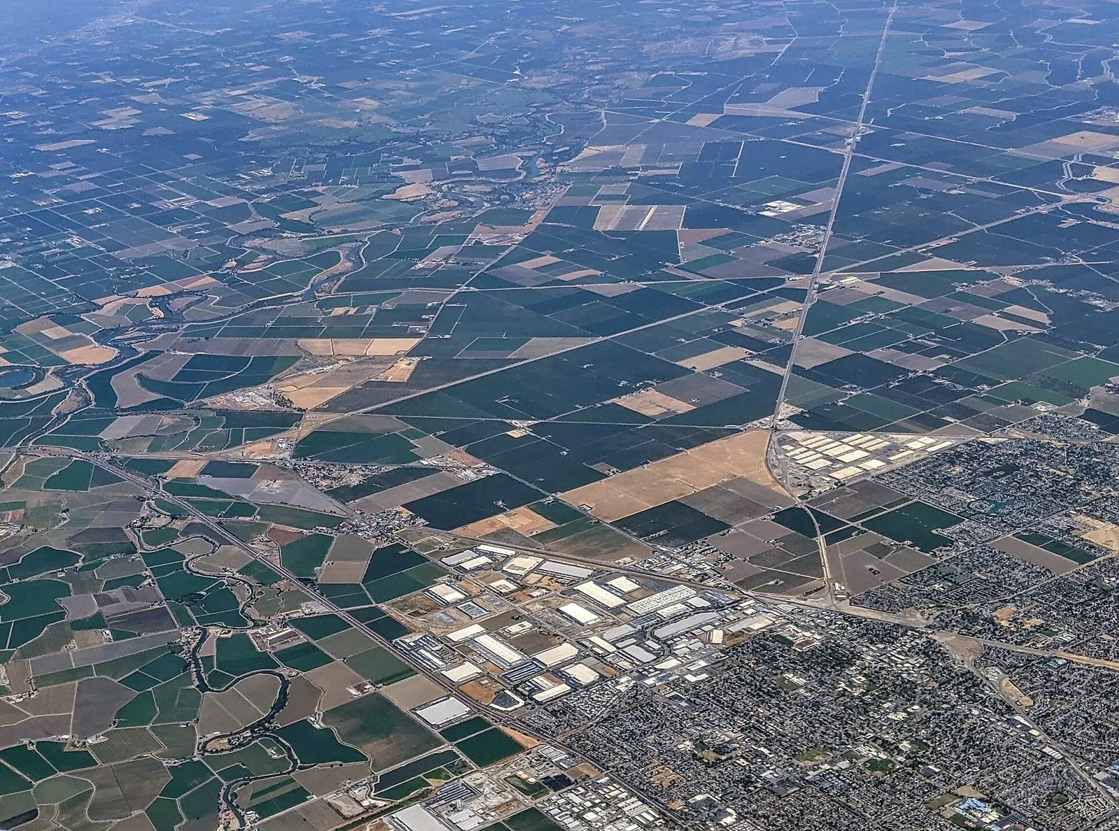
Trying to decide what to do in Tracy? Adventria helps you cut through the options and choose a good-enough plan without endless scrolling. Situated in San Joaquin County at the base of the Altamont Pass, Tracy presents unique planning choices shaped by Bay Area commuter flows, Central Valley heat, winter Tule fog, and localized district hubs. Use this guide to make practical, grounded decisions for weekend plans, date nights, outdoor sports, and everyday logistics.
The local decision problem
How to plan outings, dining, recreation, and local schedules around Tracy's commute windows, extreme seasonal weather, and distinct district layouts.
That is where Adventria comes in. Adventria helps narrow the options in Tracy around practical factors like location, distance, budget, vibe, who you are with, and the kind of experience you actually want, so research can turn into a decision.
Let Adventria narrow the optionsPick the right part of town
Different parts of Tracy work for different kinds of plans. Start with the experience you want, then narrow the map.
Best for
Walkable dining, craft cocktails, cultural performances, and historic atmosphere.
Best for
Bay Area commuters seeking modern housing and immediate I-580 access.
Best for
Suburban single-family living near high schools and community parkland.
Best for
Gated neighborhood privacy, private parks, and traditional architecture.
Best for
Spacious yards, mature trees, single-story ranch homes, and no HOA fees.
Best for
Major retail corridors, regional athletic fields, and direct I-205 access.
This is a quick starting point. The full guide covers 8 local neighborhoods and districts in Tracy.
Eat & drink
When the decision is less about what to do and more about where to eat or grab a drink, start here. These local cues narrow the food and drink decision without turning dinner or a night out into another hour of comparison.
Start Saturday morning in Downtown Tracy browsing the year-round Downtown Farmers' Market along Central Avenue for fresh local produce, baked goods, and flowers. Follow up with breakfast or brunch at established downtown stops like Town & Country Cafe.
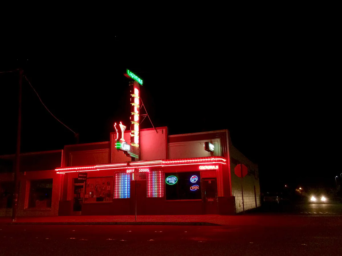
For taproom craft beer, head to Morgan Territory Brewing on MacArthur Drive, which offers food truck rotations, tap selections, and open patio seating. If you prefer signature cocktails and unique fare in a central setting, visit The Purgatory on 10th Street in Downtown Tracy for whiskey flights and small plates.
Still comparing options? Adventria can narrow the choice around budget, distance, vibe, and who you are with.
Decide with AdventriaPlan by situation
Start with the kind of plan you are actually trying to make. These city-specific ideas narrow the choice around who you are with, what you want to spend, the weather, and the kind of outing you want.
For an outdoor plan from Tracy, compare trails, state parks, national parks within trip range, and scenic drives. Options in the current city guide include Caswell Memorial State Park and Mount Diablo State Park.
For a day trip from Tracy, compare Calistoga and Carmel-by-the-Sea. More options are listed in the trip section below.
Spend a rainy afternoon viewing visual art exhibits inside the galleries at the Grand Theatre Center for the Arts, or check out local history at the Tracy Historical Museum during its operating hours. For classic indoor leisure, visit the Cinemark theater complex and retail outlets at West Valley Mall off Interstate 205.
Outdoors nearby
Use these nearby outdoor options when the plan calls for a trail, protected landscape, park, or drive instead of another indoor stop. Proximity here is geographic, not a promise about driving time.
Get out of town
When staying in town is not the answer, these nearby destinations give you a smaller starting set for a day trip, overnight escape, or weekend away.
Destination relationships are screened geographically. Straight-line proximity is not presented as road mileage or estimated travel time.
Local landmarks & attractions
These notable destinations offer a starting point when you want something specific to see, visit, or build into a day around Tracy. Distances are approximate from the city area.
art museum in Stockton, California
zoo in Lodi, California
performing arts center in Modesto, California, United States
indoor arena in Stockton, California
automobile museum in Danville, CA
park in California
movie theater in Stockton, California, United States
state recreation area in Sacramento County, California, United States
Notable places are selected from structured public destination data and ranked for relevance, prominence, proximity, and variety.
Local decision signals
A useful local recommendation depends on how the city actually works. These conditions affect where to go, what to do, and whether a plan makes sense right now.
Westbound traffic along I-580 and I-205 peaks between 5:00 AM and 9:00 AM, while eastbound return travel surges from 3:00 PM to 7:30 PM. Planning highway transit outside these windows or utilizing ACE Rail avoids major regional delays.
Midday temperatures from June through September routinely reach 90°F to over 100°F. Afternoon Delta breezes coming through the Altamont Pass cool the region in the evening, making early mornings and late afternoons optimal for outdoor events.
Dense ground fog (Tule fog) forms overnight from December through February across the San Joaquin Valley floor, reducing morning road visibility on I-5, I-205, and rural connectors.
High wind conditions funnel through the Diablo Range, triggering frequent travel advisories for high-profile vehicles along I-580 and driving windsurfing conditions at Bethany Reservoir.
Municipal splash pads at Lincoln Park, McDonald Park, and Front Street Plaza operate seasonally from mid-May through late September.
The Tracy ACE Station at Tracy Blvd and Linne Rd offers passenger seating and free parking, but ticket purchases must be made digitally via the Vamos Mobility app or online prior to boarding.
Neighborhood context
Neighborhoods are not interchangeable. Each area offers a different balance of atmosphere, transportation, food, nightlife, activities, and planning friction.
Best for: Walkable dining, craft cocktails, cultural performances, and historic atmosphere.
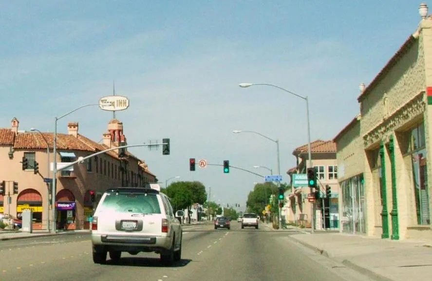
Bounded by 11th St, 6th St, A St, and Central Ave, Downtown features historic 19th- and early 20th-century commercial architecture, civic offices, independent eateries, and key cultural anchors like the Grand Theatre Center for the Arts and Front Street Plaza.
Best for: Bay Area commuters seeking modern housing and immediate I-580 access.
A master-planned residential community located on Tracy's southwestern edge along Corral Hollow Road, featuring multi-story contemporary homes, community clubhouses, planned village retail, and direct freeway connectivity south of I-580.
Best for: Suburban single-family living near high schools and community parkland.
Situated in southern/southwestern Tracy near Linne Road and Kimball High School, Ellis offers contemporary tract housing, neighborhood parks, and dedicated TRACER bus route coverage.
Best for: Gated neighborhood privacy, private parks, and traditional architecture.
An established gated enclave off Schulte Road and Corral Hollow Road built in the early 2000s, characterized by tree-lined streets, private parkways, a community clubhouse, and a resident swimming pool.
Best for: Spacious yards, mature trees, single-story ranch homes, and no HOA fees.
Established mid-to-late 20th-century suburban districts in western and southwestern Tracy featuring single-story ranches, mature street trees, generous lot sizes, and convenient access to elementary schools.
Best for: Major retail corridors, regional athletic fields, and direct I-205 access.
Located north of Interstate 205 along Tracy Boulevard and Grant Line Road, this commercial and recreational zone encompasses the West Valley Mall, strip retail centers, and the Legacy Fields Sports Complex.
Best for: Silicon Valley train commuters and residential areas near agricultural boundaries.
Framed by Valpico, Schulte, and Linne Roads, this district mixes newer residential tracts with rural borders and houses the Tracy ACE train station at Tracy Boulevard and Linne Road.
Best for: Quick outdoor recreational access to state parks and western commuter routes.
Positioned directly northwest along Grant Line Road and Mountain House Parkway, this border area links Tracy to the master-planned Mountain House community and rural access roads leading into the Diablo Range.
Tracy local guide
Tracy's geography is structured by three major highway corridors—Interstate 580 to the south and west, Interstate 205 to the north, and Interstate 5 to the east. This tri-freeway framing connects the city directly to Silicon Valley, the San Francisco Bay Area, and the broader Central Valley. The city's internal layout transitions from the compact, walkable grid of Downtown Tracy to expansive master-planned residential tracts in Tracy Hills and Ellis, alongside dedicated commercial hubs along Naglee Road.
Travel decisions within Tracy are heavily dictated by the time of day and regional commuter movements. Because Tracy serves as a major gateway community for Bay Area workers, highway access points experience predictable slowdowns during peak morning and evening travel windows. Understanding local routes, utilizing commuter rail options like the Altamont Corridor Express (ACE), and timing road travel around Altamont Pass wind and fog patterns ensures efficient day-to-day navigation.
Explore your options
Discover Tracy's core destinations for visual arts, historic exploration, off-roading, and water sports.
A city-owned cultural center housed within a restored 1923 vaudeville theater in Downtown Tracy.
A 609-acre state water park situated at the northern end of the California Aqueduct.
An expansive off-road vehicle park in the Diablo Range canyons off Corral Hollow Road.
Local history museum operated by the West Side Pioneer Association inside a 1937 post office.
Practical local guidance
Use these actionable rules of thumb to avoid traffic delays, account for seasonal weather, and optimize local outings.
A simpler way to decide
Follow these simple steps to organize an evening or weekend excursion in Tracy's historic core.
Review upcoming theater shows at the Grand Theatre Center for the Arts, community block parties at Front Street Plaza, or the Saturday Farmers' Market schedule.
Park in one of the free municipal surface parking lots or available street parking spaces surrounding Central Avenue and 10th Street managed by the Tracy City Center Association.
Choose between independent local cafes, artisan brunch spots, or craft cocktail bars like The Purgatory depending on your group's preference.
Stroll the urban grid along 10th and 11th Streets to visit independent retailers or view visual art installations inside the Grand Theatre galleries.
Common local questions
These are common situations people face when trying to decide where to eat, what to do, where to get drinks, or how to spend their time in Tracy.
Tracy planning questions
Practical answers for people deciding where to eat, what to do, where to go, or how to make plans in Tracy.
The Altamont Corridor Express (ACE) train provides direct weekday transit from the Tracy ACE Station (Tracy Blvd & Linne Rd) to San Jose Diridon Station, making intermediate stops in Pleasanton, Fremont, and Santa Clara.
Yes, Joe Wilson Park & Pool on Lowell Avenue offers municipal aquatic facilities, including public drop-in recreational swim hours, lap swimming, and water exercise classes during seasonal operating schedules.
Municipal water splash pads are located at Lincoln Park, McDonald Park, and Front Street Plaza. They operate seasonally from mid-May through late September.
Morgan Territory Brewing on North MacArthur Drive is an award-winning production brewery featuring a large taproom, rotating food trucks, outdoor patio seating, and community taproom events.
Tickets must be purchased digitally via the Vamos Mobility mobile application or through the official ACE website, as there is no physical ticket counter at the Tracy ACE Station.
The Tracy Historical Museum on Adam Street is generally open to the public on Mondays and Saturdays from 10:00 AM to 2:00 PM, offering free admission to local heritage exhibits.
No. Swimming and camping are strictly prohibited at Bethany Reservoir State Recreation Area. The park is designated for day-use non-motorized boating, kayak fishing, windsurfing, and biking along the aqueduct trail.
Vehicle access to Carnegie State Vehicular Recreation Area must approach via Corral Hollow Road from Tracy, as Tesla Road is closed at mile marker 9.5. Additionally, dirt trails temporarily close following rain events over 0.30 inches.
The City of Tracy operates TRACER local bus routes connecting major shopping centers, schools, and transit hubs. TRACER Plus offers on-demand shared rides during off-peak hours and weekends via a mobile app.
The Downtown Farmers' Market operates year-round on Saturday mornings along Central Avenue between 6th and 9th Streets, offering fresh produce, flowers, and local food items.
Source transparency
Official and locally relevant sources used to verify the practical information presented in this Tracy decision guide.
Tracy decision engine
Tell Adventria what kind of experience you want, set your practical limits, and turn the options in Tracy into one workable plan.
Choose a Tracy Plan