Downtown Chico
Best for
Walkable local dining, historic retail, City Plaza community events, and night venues.
 AdventriaLocalOpen App
Local Decision Guide
Trying to decide what to do in Chico? Adventria helps you cut through the options and choose a good-enough plan without endless scrolling. Whether you are balancing university calendar surges, planning around summer heat along Big Chico Creek, or choosing between Downtown's historic brick grid and Meriam Park's modern Tank District, this guide provides practical, local decision factors for navigating Chico.
The local decision problem
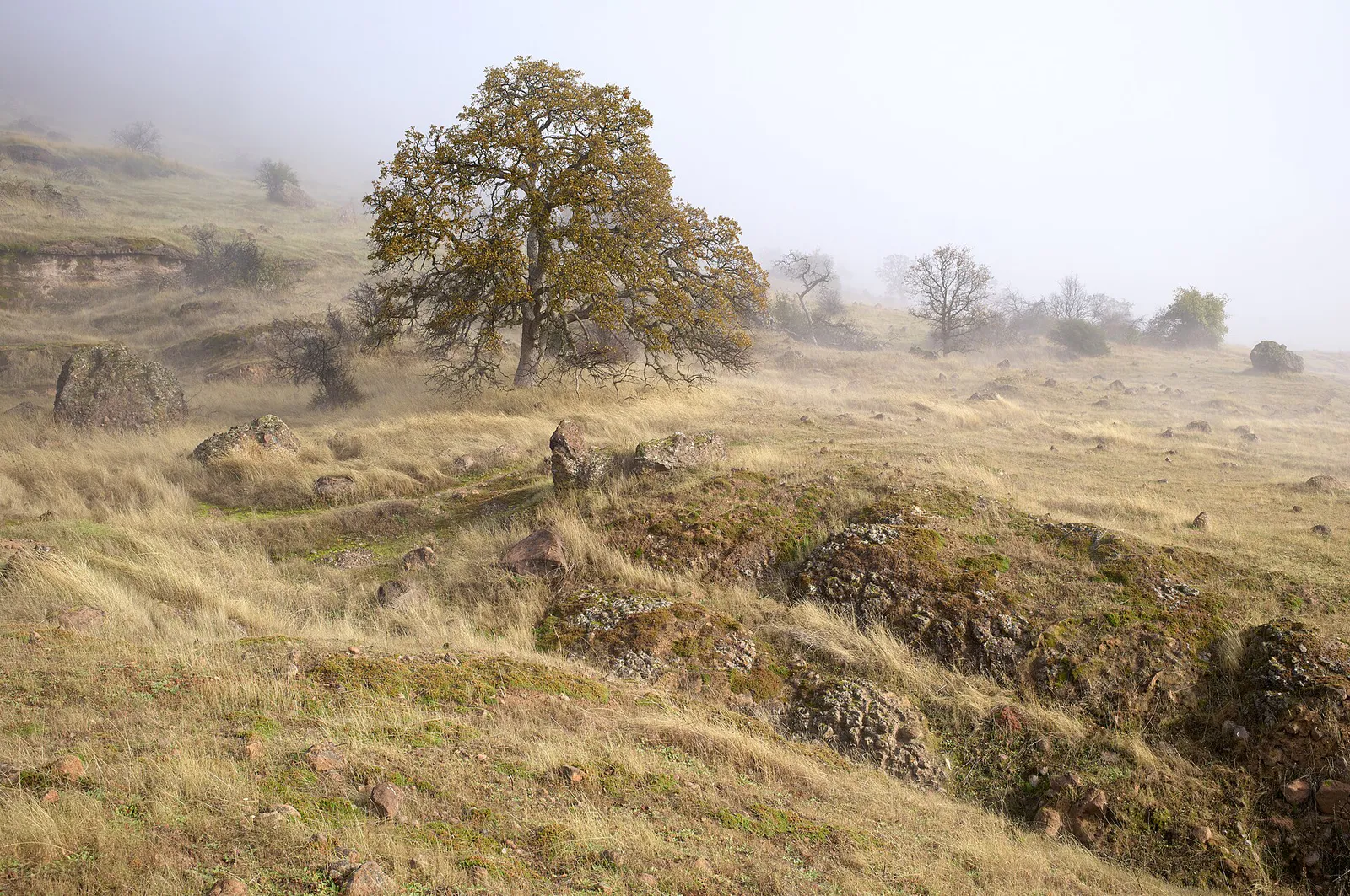
Navigating local seasonality, micro-climates, university campus cycles, and distinct urban-versus-nature hubs when planning activities and outings in Chico.
That is where Adventria comes in. Adventria helps narrow the options in Chico around practical factors like location, distance, budget, vibe, who you are with, and the kind of experience you actually want, so research can turn into a decision.
Let Adventria narrow the optionsPick the right part of town
Different parts of Chico work for different kinds of plans. Start with the experience you want, then narrow the map.
Best for
Walkable local dining, historic retail, City Plaza community events, and night venues.
Best for
Tree-lined residential walks, historic architecture, and proximity to Enloe Health.
Best for
High-energy student venues, casual eateries, and campus proximity.
Best for
Modern craft dining, indoor climbing, live outdoor events, and medical services.
Best for
Historic industrial heritage walks and quiet residential pockets.
Best for
Semi-rural working-class heritage and community-oriented space.
This is a quick starting point. The full guide covers 8 local neighborhoods and districts in Chico.
Eat & drink
When the decision is less about what to do and more about where to eat or grab a drink, start here. These local cues narrow the food and drink decision without turning dinner or a night out into another hour of comparison.
During the academic year (late August to May), expect heavy vehicle traffic, active student bar crowds around South Campus along West 2nd Street, and higher parking meter utilization downtown. If you want a quieter local experience with lower wait times at popular eateries, plan your outings during university break periods in January or mid-summer.
For a downtown date, park in long-term off-street Smart Lots or the 3rd & Salem Parking Structure, then stroll through City Plaza before dining at downtown farm-to-table spots or visiting an evening show at Laxson Auditorium or the historic El Rey Theater. Alternatively, skip downtown meters altogether by heading to Meriam Park's Tank District for craft drinks and live music at The Barn.
Still comparing options? Adventria can narrow the choice around budget, distance, vibe, and who you are with.
Decide with AdventriaPlan by situation
Start with the kind of plan you are actually trying to make. These city-specific ideas narrow the choice around who you are with, what you want to spend, the weather, and the kind of outing you want.
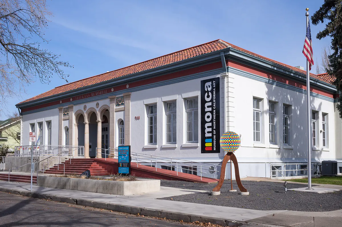
Start with a self-guided 11-block Historic Downtown Walking Tour mapped by the Downtown Chico Business Association, stopping at Shubert's Ice Cream & Candy (operating downtown since 1938). Afterwards, rent a bicycle to ride the shaded paved paths of Lower Bidwell Park or browse rotating art exhibits at monca in the historic Veterans Memorial Building.
For an outdoor plan from Chico, compare trails, state parks, national parks within trip range, and scenic drives. Options in the current city guide include Bidwell Mansion State Historic Park and Bidwell-Sacramento River State Park.
For a day trip from Chico, compare Calistoga and Sparks. More options are listed in the trip section below.
Head to Lower Bidwell Park to visit Caper Acres, a historic fairy-tale playground, or explore native live animals at the Chico Creek Nature Center. For free indoor entertainment, visit the National Yo-Yo Museum inside Bird in Hand downtown to view the 256-pound working wooden 'BIG-YO', or head to the Chico Air Museum near the airport where parking and admission are free.
Book a brewery tour weeks in advance at the Sierra Nevada Brewing Co. flagship campus on East 20th Street, which features an expansive Taproom and organic estate garden. For group dining in an open setting, visit The Tank District at Meriam Park, home to Farmer's Brewing Co. Taproom and communal outdoor spaces.
Outdoors nearby
Use these nearby outdoor options when the plan calls for a trail, protected landscape, park, or drive instead of another indoor stop. Proximity here is geographic, not a promise about driving time.
Get out of town
When staying in town is not the answer, these nearby destinations give you a smaller starting set for a day trip, overnight escape, or weekend away.
Destination relationships are screened geographically. Straight-line proximity is not presented as road mileage or estimated travel time.
Local landmarks & attractions
These notable destinations offer a starting point when you want something specific to see, visit, or build into a day around Chico. Distances are approximate from the city area.
Chico museum
Aviation Museum in the USA
stadium on the main campus of California State University, Chico
Municipal Park in Chico, California
historical place in Tehama County, United States
soccer stadium at California State University, Chico
historical place in Tehama County, United States
Notable places are selected from structured public destination data and ranked for relevance, prominence, proximity, and variety.
Local decision signals
A useful local recommendation depends on how the city actually works. These conditions affect where to go, what to do, and whether a plan makes sense right now.
Official operational adjustments trigger automatically during extreme heat: the Thursday Night Market cancels if temperatures hit 110°F during market hours, and the Chico Air Museum closes its hangar display space when interior temperatures reach 92°F–94°F.
Unpaved trails in Upper Bidwell Park close to bicycles and motor vehicles during wet weather under the city's Adaptive Wet Weather Trail Management Plan to prevent erosion and trail destruction.
The presence of over 14,000 university students from late August through May impacts downtown parking availability, South Campus restaurant wait times, and bar volume, whereas summer and January offer a quiet pace.
Big Chico Creek and Little Chico Creek cross the city from east to west, channeling vehicular and bike traffic onto primary bridge crossings at Esplanade, Mangrove Avenue, Cypress Street, and Main/Broadway.
Freight trains running along the Union Pacific tracks parallel to State Route 99 and the western boundary of CSU Chico create periodic traffic delays and horn noise across grade crossings from West 1st to West 8th Streets.
Parking is enforced Monday through Friday from 9:00 AM to 6:00 PM using smart meters, multi-space kiosks, License Plate Reader technology, and the Passport Parking App, with free parking on weekends.
Bicycles and skateboards are strictly prohibited on downtown sidewalks under local ordinance; riders must use marked street lanes or designated paths like the Steve Harrison Memorial Bike Path.
Neighborhood context
Neighborhoods are not interchangeable. Each area offers a different balance of atmosphere, transportation, food, nightlife, activities, and planning friction.
Best for: Walkable local dining, historic retail, City Plaza community events, and night venues.
An 11-block historic grid with one-way couplets along Main and Broadway Streets. Anchored by brick architecture, local boutiques, smart-metered parking, and access to CSU Chico.
Best for: Tree-lined residential walks, historic architecture, and proximity to Enloe Health.
Platted by founder John Bidwell in 1887, stretching from 1st Avenue to 11th Avenue between The Esplanade and Mangrove Avenue. Features Craftsman and Victorian structures and Enloe Health’s main hospital campus.
Best for: High-energy student venues, casual eateries, and campus proximity.
Positioned directly west and south of CSU Chico around Ivy, Warner, and Chestnut Streets. Characterized by high-density rental housing, student venues like Madison Bear Garden, and heavy pedestrian traffic.
Best for: Modern craft dining, indoor climbing, live outdoor events, and medical services.
A 270-acre Traditional Neighborhood Development in southeast Chico featuring The Tank District, live-work space, Farmer's Brewing Co. Taproom, and event space at The Barn, alongside Southern-style homes in Doe Mill.
Best for: Historic industrial heritage walks and quiet residential pockets.
Located south of Big Chico Creek and west of Park Avenue. Platted in the early 1900s as worker housing for the Diamond Match Company, retaining historic homes alongside light industrial zones.
Best for: Semi-rural working-class heritage and community-oriented space.
Situated in southeast Chico between Little Chico Creek, Highway 99, and Park Avenue. A historically semi-rural and industrial pocket with major residential sections annexed into the city in recent years.
Best for: Big-box retail shopping, aviation history, and suburban residential subdivisions.
Spans north along Cohasset Road and Esplanade North toward Chico Municipal Airport. Features major commercial centers, light industrial spaces, subdivisions, and the Chico Air Museum.
Best for: Immediate trail access, swimming hole visits, foothill vistas, and golf.
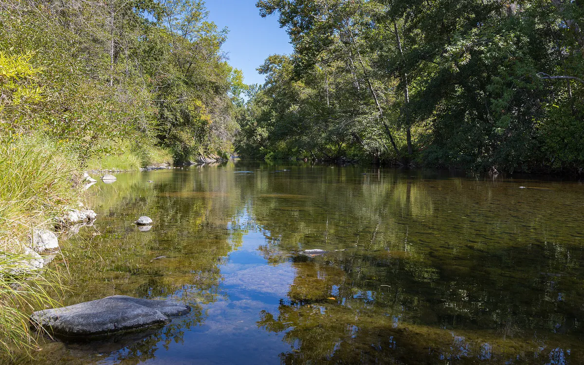
Bordering Lower, Middle, and Upper Bidwell Park. Extends from flat riparian woods to the basalt foothills, encompassing the Stilson Canyon area and the gated Canyon Oaks golf community.
Chico local guide
Chico rests at an elevation of roughly 200 feet on the flat floor of the Sacramento Valley, rising eastward into the volcanic basalt foothills of the Cascade Range and Sierra Nevada. State Route 99 bisects the city north-to-south, providing regional access to Sacramento and Redding, while State Route 32 cuts across downtown along 8th and 9th Streets before winding east as Deer Creek Highway toward Forest Ranch.
Navigating the city requires accounting for natural and man-made choke points. Big Chico Creek and Little Chico Creek run west across the urban grid, concentrating vehicular crossings at primary bridges along Esplanade, Mangrove Avenue, Cypress Street, and Main/Broadway. Meanwhile, Union Pacific railroad tracks line the western side of the CSU Chico campus and downtown, where long freight trains regularly cause traffic pauses at grade crossings along West 1st through West 8th Streets.
Explore your options
Select the district that aligns with your planned outing, parking preferences, and activity style.
The historic heart of Chico, structured around City Plaza and one-way grid couplets on Main and Broadway Streets.
A modern New Urbanist development in southeast Chico off East 20th Street.
Flat, dense oak woodland adjacent to downtown and residential avenues.
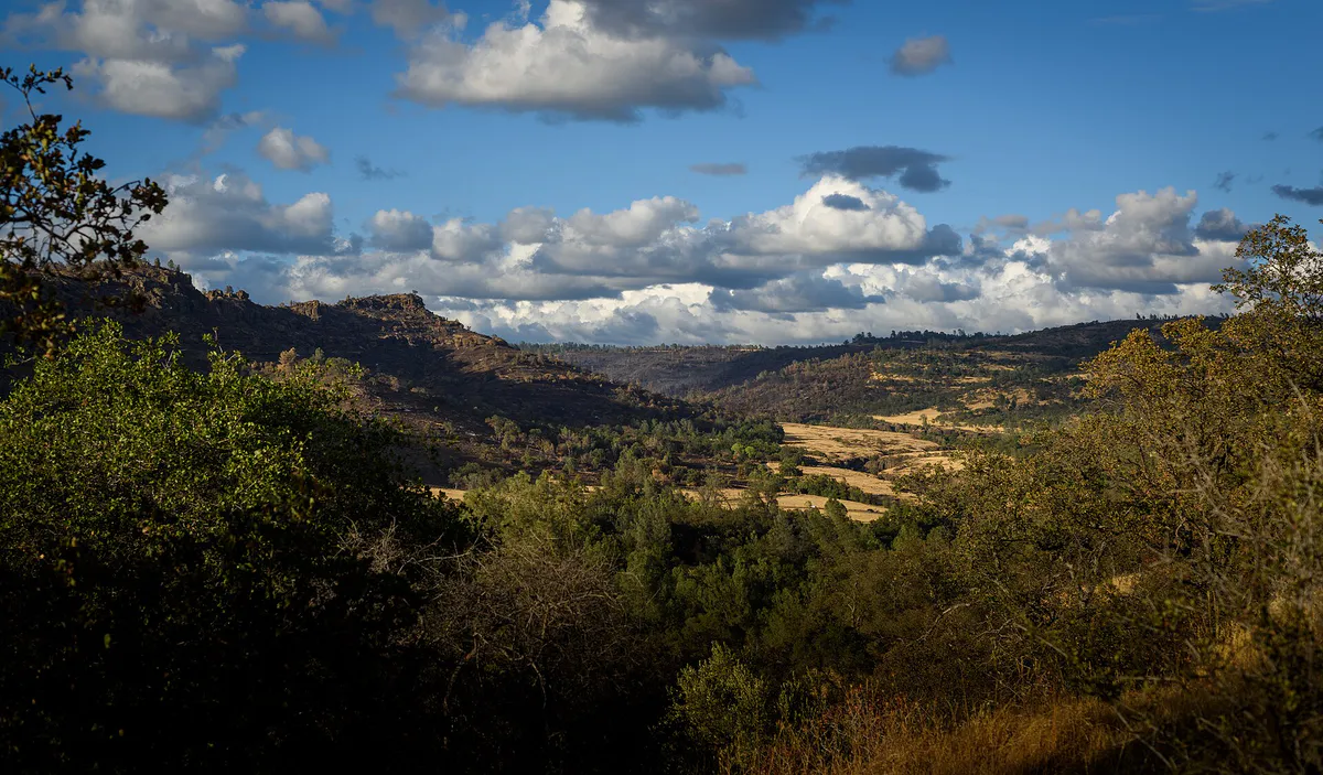
Rugged basalt canyon terrain rising into the eastern foothills.
Practical local guidance
Keep these specific operational conditions in mind when planning activities in Chico:
A simpler way to decide
Follow these steps to coordinate outings across temperature shifts, university traffic, and park regulations.
Review daily forecasts for extreme heat warnings (100°F+) or wildfire smoke AQI levels, which alter park access and outdoor event schedules.
If planning to mountain bike or drive in Upper Bidwell Park, confirm that wet-weather trail closures are not active following winter rainfall.
If visiting during semester months (late August–May), allow extra time for downtown parking search or choose off-street lots like 3rd & Salem.
Download the Passport Parking App for downtown smart meters or kiosks, or prepare to pay at Upper Bidwell Park fee stations.
Identify climate-controlled stops such as the Gateway Science Museum or monca for midday hours when summer temperatures peak.
Reserve high-demand brewery tours in advance, or decide between South Campus student spots and quiet craft options in Meriam Park.
Common local questions
These are common situations people face when trying to decide where to eat, what to do, where to get drinks, or how to spend their time in Chico.
Chico planning questions
Practical answers for people deciding where to eat, what to do, where to go, or how to make plans in Chico.
Downtown parking is enforced Monday through Friday from 9:00 AM to 6:00 PM. Parking is free on weekends, federal holidays, and on weekdays before 9:00 AM and after 6:00 PM.
Riding bicycles or skateboards on pedestrian sidewalks in Downtown Chico is strictly prohibited by city law. Cyclists must use street bike lanes or designated multi-use paths.
Popular swimming spots include Sycamore Pool at One Mile Recreation Area in Lower Bidwell Park, Five Mile Recreation Area for shallow water wading, and natural swimming holes in Upper Bidwell Park like Bear Hole, Alligator Hole, and Salmon Hole. Check for local water quality advisories before swimming.
The Thursday Night Market, which runs weekly from April through September along Main and Broadway Streets, is automatically canceled if temperatures reach 110°F or higher during market hours.
While walk-ins are welcomed at the Taproom and Restaurant on East 20th Street subject to table availability, guided brewery tours frequently fill up and should be booked online weeks in advance.
The main 26-room Victorian mansion is currently closed to public structural tours due to severe arson fire damage. However, the Bidwell Mansion Visitor Center and Museum Store are open on Fridays and Saturdays with free admission and paid vehicle parking.
Butte Regional Transit (B-Line) local single rides cost $2.00, with $1.00 discounted fares for seniors, youth, veterans, and disabled riders. All-day passes cost $6.00 and can be purchased via cash, Token Transit app, or B-Line Smart Cards.
Dirt trails in Upper Bidwell Park close to bicycles and vehicles during rainy periods under the city's Adaptive Wet Weather Trail Management Plan to protect soil, prevent severe trail erosion, and ensure safety.
The National Yo-Yo Museum is located inside the Bird in Hand retail shop on Broadway Street in Downtown Chico. It offers free self-guided admission seven days a week and displays the Guinness World Record 256-pound wooden yo-yo.
The Tank District is a commercial and culinary enclave within Meriam Park in southeast Chico. Built around New Urbanist principles, it features local craft taprooms, health markets, indoor rock climbing, and community venues like The Barn.
Source transparency
Official and locally relevant sources used to verify the practical information presented in this Chico decision guide.
Chico decision engine
Tell Adventria what kind of experience you want, set your practical limits, and turn the options in Chico into one workable plan.
Choose a Chico Plan